全国1:400万土壤类型分布图(中国土壤发生分类系统)(1978年)
收藏国家地球系统科学数据中心2022-03-15 更新2024-03-04 收录
下载链接:
https://www.geodata.cn/data/datadetails.html?dataguid=23450570881975&docId=9747
下载链接
链接失效反馈官方服务:
资源简介:
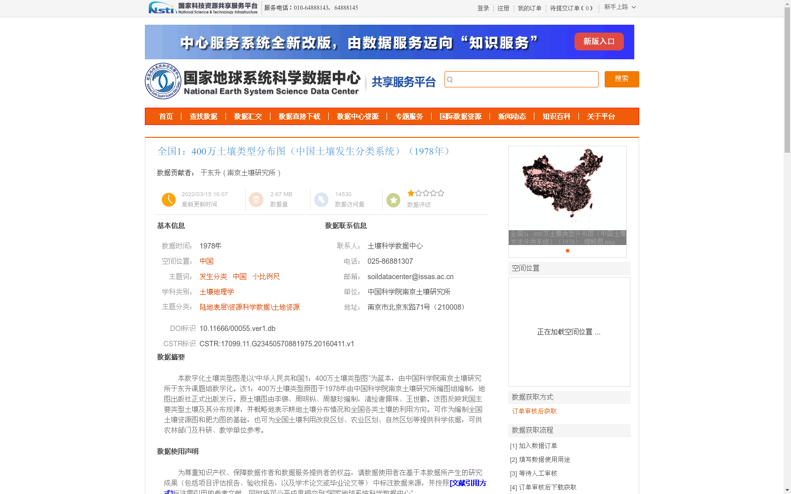
本数字化土壤类型图是以“中华人民共和国1:400万土壤类型图”为蓝本,由中国科学院南京土壤研究所于东升课题组数字化。该1:400万土壤类型原图于1978年由中国科学院南京土壤研究所编图组编制,地图出版社正式出版发行。原土壤图由李锦、周明枞、周慧珍编制,清绘谢佩珠、王世勤。该图反映我国主要类型土壤及其分布规律,并概略地表示耕地土壤分布情况和全国各类土壤的利用方向。可作为编制全国土壤资源图和肥力图的基础,也可为全国土壤利用改良区划、农业区划、自然区划等提供科学依据,可供农林部门及科研、教学单位参考。
This digital soil type map is based on the "1:4,000,000 Soil Type Map of the People's Republic of China", and was digitized by the research group led by Yu Dongsheng from the Nanjing Institute of Soil Science, Chinese Academy of Sciences. The original 1:4,000,000 soil type map was compiled by the Mapping Compilation Group of the Nanjing Institute of Soil Science, Chinese Academy of Sciences in 1978, and was officially published by the Map Publishing House. The original soil map was compiled by Li Jin, Zhou Mingcong and Zhou Huizhen, with final clean drafting completed by Xie Peizhu and Wang Shiqin. This map reflects the major soil types in China and their distribution patterns, and briefly shows the distribution of cultivated soils and the utilization directions of various soil types across the country. It can serve as a basis for compiling national soil resource maps and soil fertility maps, and also provide scientific basis for national soil utilization and improvement regionalization, agricultural regionalization, physical regionalization and other related works, and can be referenced by agricultural and forestry departments, scientific research institutions and educational institutions.
提供机构:
南京土壤研究所
创建时间:
2016-04-11
搜集汇总
数据集介绍
背景与挑战
背景概述
该数据集是基于1978年编制的'中华人民共和国1:400万土壤类型图'数字化而成,采用中国土壤发生分类系统,以1:400万比例尺展示全国土壤类型分布。它反映了中国主要土壤类型及其分布规律,并概略表示耕地土壤分布和利用方向,可作为土壤资源图、肥力图编制以及农业区划、自然区划等科学研究的依据。数据集以矢量格式存储,空间投影为Albers,数据量较小(2.67 MB),但访问量较高,表明其在科研和教学领域具有重要参考价值。
以上内容由遇见数据集搜集并总结生成


