
P3 dataset
收藏资源简介:
P3数据集是一个大规模的多模态建筑矢量化的基准数据集,由三个大陆的航空激光雷达点云、高分辨率航空影像和矢量化的二维建筑轮廓组成。该数据集包含超过100亿个激光雷达点,具有分米级精度,以及25厘米地面采样距离的RGB图像。与许多现有数据集主要关注图像模态不同,P3还提供了密集的3D信息。我们证明了激光雷达点云在混合和端到端学习框架中预测建筑多边形方面具有鲁棒性。此外,融合航空激光雷达和图像进一步提高了预测多边形的精度和几何质量。P3数据集是公开可用的,包括三个最先进的建筑多边形预测模型的代码和预训练权重。数据集旨在解决现有数据集在建筑矢量化问题上的局限性,如数据模态单一、地域和建筑风格多样性不足、缺乏精确的几何信息等。P3数据集的设计和应用为多模态建筑矢量化研究提供了重要的基础。
The P3 dataset is a large-scale benchmark dataset for multimodal building vectorization, composed of airborne LiDAR point clouds, high-resolution aerial imagery, and vectorized 2D building footprints from three continents. This dataset contains over 10 billion LiDAR points with decimeter-level accuracy, as well as RGB imagery with a ground sampling distance (GSD) of 25 centimeters. Unlike many existing datasets that primarily focus on image modalities, the P3 dataset also provides dense 3D information. We have demonstrated that LiDAR point clouds exhibit robustness in predicting building polygons within hybrid and end-to-end learning frameworks. Furthermore, fusing airborne LiDAR and imagery further improves the accuracy and geometric quality of the predicted polygons. The P3 dataset is publicly available, including the code and pre-trained weights for three state-of-the-art building polygon prediction models. This dataset is designed to address the limitations of existing datasets for building vectorization tasks, such as single data modality, insufficient diversity in regions and building styles, and lack of precise geometric information. The design and application of the P3 dataset provide a crucial foundation for multimodal building vectorization research.
P³数据集概述
数据集简介
- 名称:P³数据集 (Pixels, Points and Polygons for Multimodal Building Vectorization)
- 类型:多模态建筑矢量化基准数据集
- 数据来源:航空LiDAR点云、高分辨率航空影像和矢量化2D建筑轮廓
- 覆盖范围:三大洲(瑞士、纽约、新西兰)
- 数据量:超过100亿个LiDAR点
- 精度:
- LiDAR点云:分米级精度
- RGB图像:地面采样距离25cm
数据集亮点
- 多模态数据:同时包含航空影像、LiDAR点云和建筑轮廓多边形
- 全球覆盖:采集自不同大洲的多样化地理区域
- 配套资源:
- 训练和评估深度学习方法的代码库
- 预训练模型权重
- 详细实验验证的论文
数据集结构
- 总大小:约163GB
- 主要目录:
annotations/:MS-COCO格式的标注文件(24个文件)images/:TIFF格式的航空影像- 按
train/val/test划分 - 按地区分类(CH/NY/NZ)
- 按
lidar/:COPC.LAZ格式的LiDAR点云数据- 同样按划分和地区组织
ffl/:处理后的特征文件(.pt格式)
数据下载
-
推荐方式: bash pip install huggingface_hub python scripts/download_dataset.py --dataset-root $DATA_ROOT
-
备选方式: bash git lfs install git clone https://huggingface.co/datasets/rsi/PixelsPointsPolygons $DATA_ROOT
预训练模型
-
下载方式: bash python scripts/download_pretrained.py --model-root $MODEL_ROOT
或 bash git clone https://huggingface.co/rsi/PixelsPointsPolygons $MODEL_ROOT
代码库
-
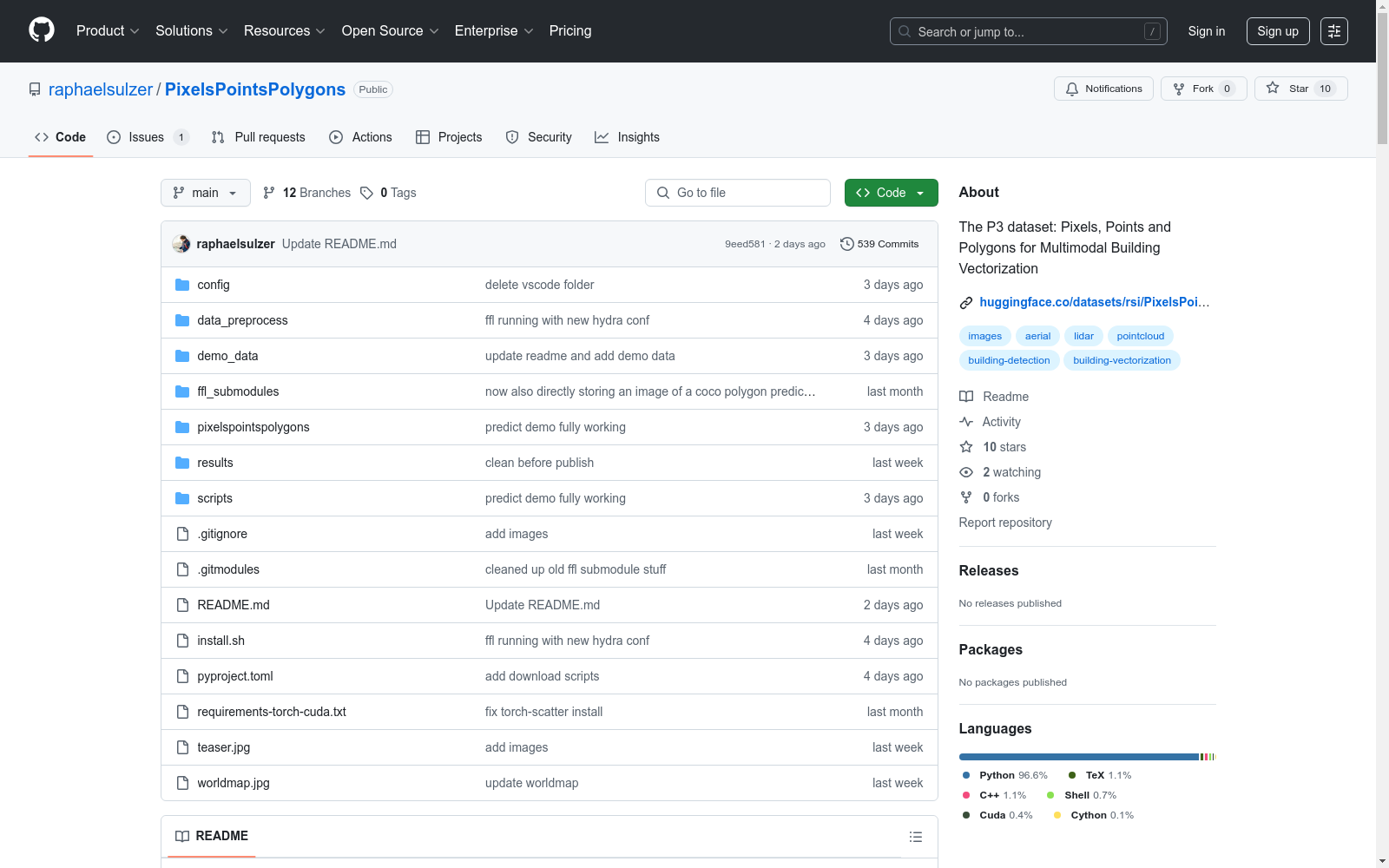
获取方式: bash git clone https://github.com/raphaelsulzer/PixelsPointsPolygons
-
安装:
- 使用
install.sh脚本创建conda环境 - 或手动安装依赖: bash pip install -r requirements-torch-cuda.txt pip install .
- 使用
相关资源
- 数据集地址:https://huggingface.co/datasets/rsi/PixelsPointsPolygons
- 代码库地址:https://github.com/raphaelsulzer/PixelsPointsPolygons
- 预训练模型:https://huggingface.co/rsi/PixelsPointsPolygons
- 研究论文:https://arxiv.org/abs/2505.15379
- 1The P$^3$ dataset: Pixels, Points and Polygons for Multimodal Building VectorizationLuxCarta Technology, Mouans-Sartoux, France; Centre Inria d’Université Côte d’Azur, Sophia Antipolis, France · 2025年


