
GOES-15 Imager 4 km All Channel Data. Version 1.0
收藏Mendeley Data2024-01-31 更新2024-06-27 收录
下载链接:
https://data.eol.ucar.edu/dataset/487.018
下载链接
链接失效反馈官方服务:
资源简介:
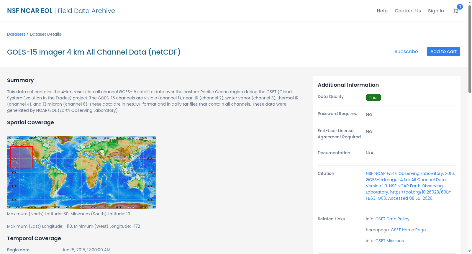
This data set contains the 4-km resolution all channel GOES-15 satellite data over the eastern Pacific Ocean region during the CSET (Cloud System Evolution in the Trades) project. The GOES-15 channels are visible (channel 1), near-IR (channel 2), water vapor (channel 3), thermal IR (channel 4), and 13 micron (channel 6). These data are in netCDF format and in daily tar files that contain all channels. These data were generated by NCAR/EOL (Earth Observing Laboratory).
本数据集包含CSET(信风带云系统演化,Cloud System Evolution in the Trades)项目实施期间,东太平洋海域范围内的4千米分辨率全通道GOES-15(地球静止业务环境卫星15号)卫星观测数据。GOES-15的观测通道包括可见光通道(通道1)、近红外通道(通道2)、水汽通道(通道3)、热红外通道(通道4)以及13微米通道(通道6)。该数据集采用netCDF(网络通用数据格式,Network Common Data Form)格式存储,以每日tar归档文件封装,每份归档包含全部通道的观测数据。本数据集由NCAR(美国国家大气研究中心,National Center for Atmospheric Research)下属的EOL(地球观测实验室,Earth Observing Laboratory)生成。
创建时间:
2024-01-31
搜集汇总
数据集介绍
背景与挑战
背景概述
该数据集包含2015年6月15日至8月15日期间,GOES-15卫星在东部太平洋区域采集的4公里分辨率全通道数据,涵盖可见光、近红外、水汽、热红外和13微米通道,以netCDF格式按日打包。数据由NCAR/EOL生成,用于支持CSET(云系在信风中的演变)项目,空间范围为北纬60度至南纬10度,西经-172度至东经-118度。
以上内容由遇见数据集搜集并总结生成


