青藏高原30m Landsat 8真彩色合成数据(2019,2022)
收藏国家青藏高原科学数据中心2025-04-13 更新2025-05-03 收录
下载链接:
https://data.tpdc.ac.cn/zh-hans/data/aea5eb8f-a5b6-47e2-b4c1-abb001380615
下载链接
链接失效反馈官方服务:
资源简介:
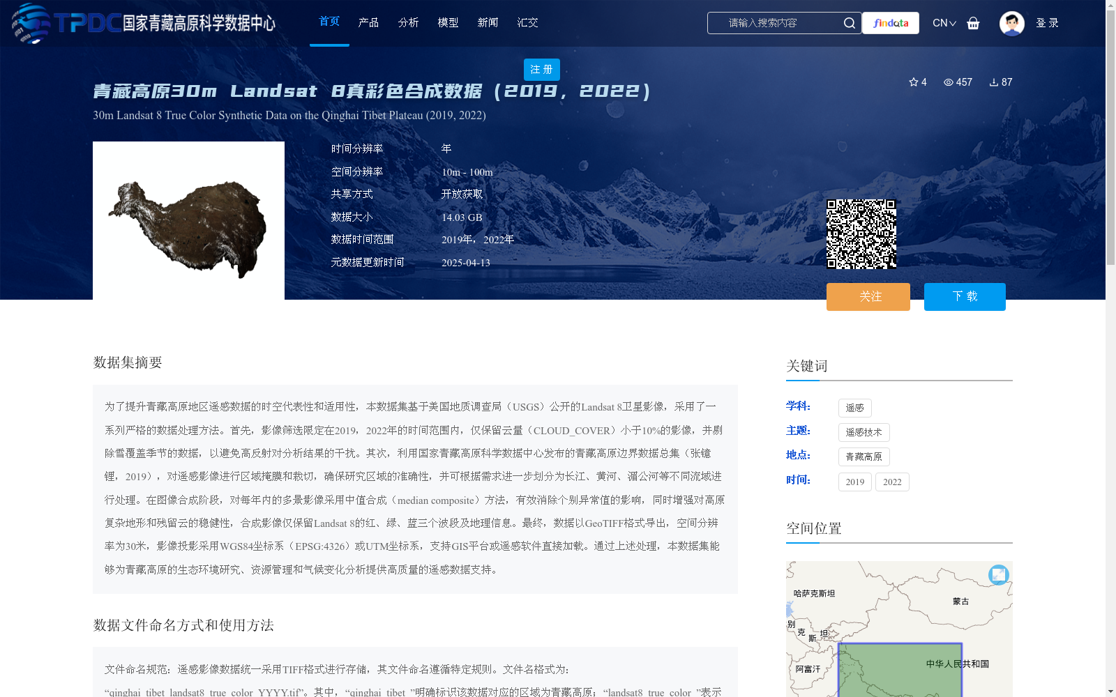
为了提升青藏高原地区遥感数据的时空代表性和适用性,本数据集基于美国地质调查局(USGS)公开的Landsat 8卫星影像,采用了一系列严格的数据处理方法。首先,影像筛选限定在2019,2022年的时间范围内,仅保留云量(CLOUD_COVER)小于10%的影像,并剔除雪覆盖季节的数据,以避免高反射对分析结果的干扰。其次,利用国家青藏高原科学数据中心发布的青藏高原边界数据总集(张镱锂,2019),对遥感影像进行区域掩膜和裁切,确保研究区域的准确性,并可根据需求进一步划分为长江、黄河、湄公河等不同流域进行处理。在图像合成阶段,对每年内的多景影像采用中值合成(median composite)方法,有效消除个别异常值的影响,同时增强对高原复杂地形和残留云的稳健性,合成影像仅保留Landsat 8的红、绿、蓝三个波段及地理信息。最终,数据以GeoTIFF格式导出,空间分辨率为30米,影像投影采用WGS84坐标系(EPSG:4326)或UTM坐标系,支持GIS平台或遥感软件直接加载。通过上述处理,本数据集能够为青藏高原的生态环境研究、资源管理和气候变化分析提供高质量的遥感数据支持。
To improve the spatiotemporal representativeness and applicability of remote sensing data over the Qinghai-Tibet Plateau, this dataset is developed using publicly available Landsat 8 satellite imagery from the United States Geological Survey (USGS), with a series of rigorous data processing procedures implemented. First, image screening is limited to the period from 2019 to 2022: only images with cloud cover (CLOUD_COVER) less than 10% are retained, and data from snow-covered seasons are excluded to eliminate interference from high reflectance on analysis results. Second, remote sensing images are masked and cropped to the study area using the comprehensive Qinghai-Tibet Plateau boundary dataset (Zhang Yili, 2019) released by the National Tibetan Plateau Data Center (NTPD), ensuring the accuracy of the research scope. The dataset can be further divided into specific river basins such as the Yangtze River, Yellow River, and Mekong River for tailored processing as needed. During the image compositing phase, the median composite method is applied to multi-temporal images from the same year, effectively mitigating the impact of individual outliers and improving robustness against complex plateau terrain and residual clouds. Only the red, green, and blue spectral bands of Landsat 8 and accompanying geographic information are retained in the final composite images. Finally, the dataset is exported in GeoTIFF format with a spatial resolution of 30 meters, supporting either WGS84 coordinate system (EPSG:4326) or UTM coordinate system for projection, and can be directly loaded by GIS platforms or remote sensing software. Through the above processing workflow, this dataset can provide high-quality remote sensing data support for ecological environment research, resource management, and climate change analysis related to the Qinghai-Tibet Plateau.
提供机构:
王栋
创建时间:
2025-03-13
搜集汇总
数据集介绍
背景与挑战
背景概述
该数据集是基于Landsat 8卫星影像生成的青藏高原真彩色合成数据,时间跨度为2019年和2022年,空间分辨率为30米。数据经过严格的筛选和处理,适用于生态环境研究、资源管理和气候变化分析。
以上内容由遇见数据集搜集并总结生成


