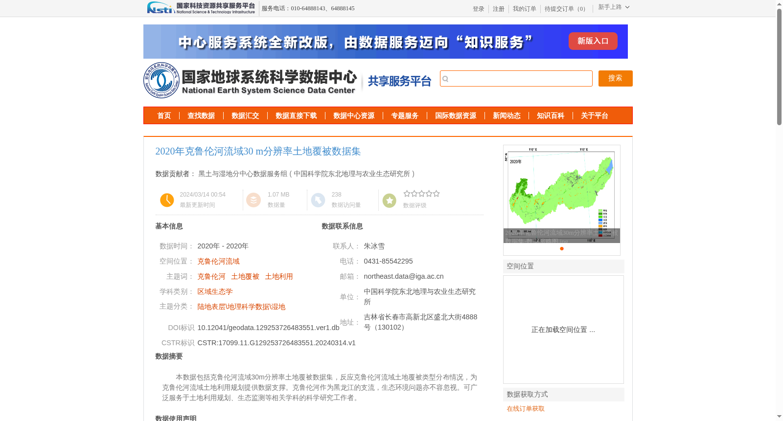
2020年克鲁伦河流域30 m分辨率土地覆被数据集
收藏国家地球系统科学数据中心2024-03-14 更新2024-04-21 收录
下载链接:
https://www.geodata.cn/data/datadetails.html?dataguid=129253726483551&docId=3866
下载链接
链接失效反馈官方服务:
资源简介:
本数据包括克鲁伦河流域30m分辨率土地覆被数据集,反应克鲁伦河流域土地覆被类型分布情况,为克鲁伦河流域土地利用规划提供数据支撑。克鲁伦河作为黑龙江的支流,生态环境问题亦不容忽视。可广泛服务于土地利用规划、生态监测等相关学科的科学研究工作者。
This dataset includes a 30-meter resolution land cover dataset for the Kherlen River Basin, which reflects the spatial distribution of land cover types across the basin and provides data support for land use planning in this region. As a tributary of the Heilongjiang River, the Kherlen River's ecological and environmental issues cannot be overlooked. This dataset can be widely applied by scientific researchers in relevant disciplines such as land use planning and ecological monitoring.
提供机构:
中国科学院东北地理与农业生态研究所
创建时间:
2024-03-14
搜集汇总
数据集介绍
背景与挑战
背景概述
该数据集是2020年克鲁伦河流域的30米分辨率土地覆被数据,基于Landsat遥感影像和面向对象的随机森林分类方法生成,一级类精度超过90%,旨在反映土地覆被类型分布,为土地利用规划和生态监测提供科学支撑。
以上内容由遇见数据集搜集并总结生成


