1972-2017年西藏卡若拉冰川边界30m分辨率矢量数据集
收藏地球大数据科学工程2024-05-01 收录
下载链接:
https://data.casearth.cn/sdo/detail/5c19a5680600cf2a3c557b7b
下载链接
链接失效反馈官方服务:
资源简介:
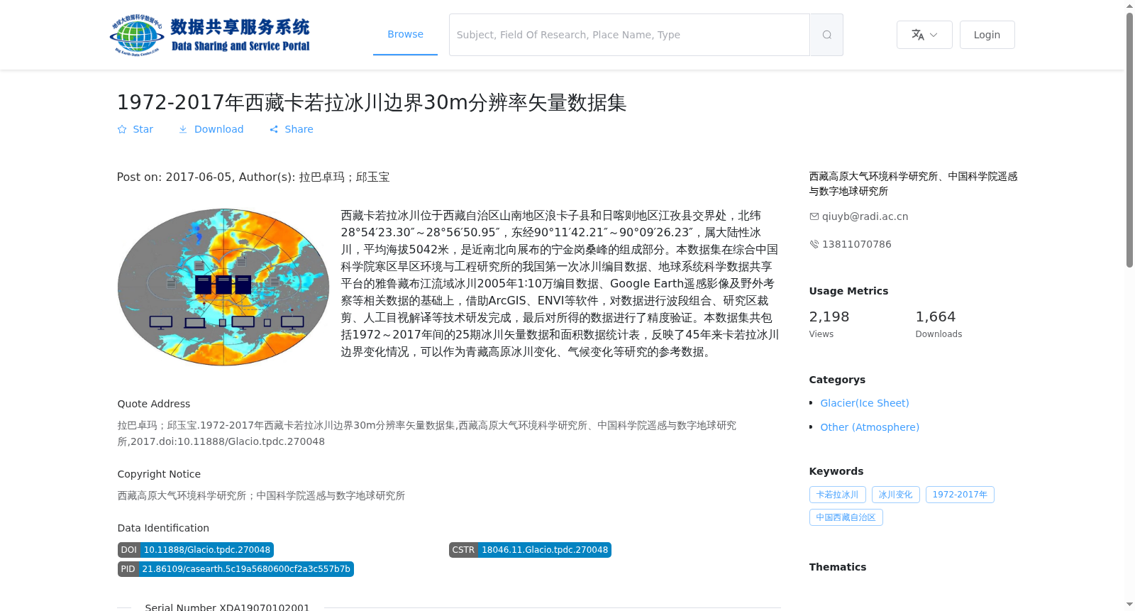
西藏卡若拉冰川位于西藏自治区山南地区浪卡子县和日喀则地区江孜县交界处,北纬28°54′23.30″~28°56′50.95″,东经90°11′42.21″~90°09′26.23″,属大陆性冰川,平均海拔5042米,是近南北向展布的宁金岗桑峰的组成部分。本数据集在综合中国科学院寒区旱区环境与工程研究所的我国第一次冰川编目数据、地球系统科学数据共享平台的雅鲁藏布江流域冰川2005年1∶10万编目数据、Google Earth遥感影像及野外考察等相关数据的基础上,借助ArcGIS、ENVI等软件,对数据进行波段组合、研究区裁剪、人工目视解译等技术研发完成,最后对所得的数据进行了精度验证。本数据集共包括1972~2017年间的25期冰川矢量数据和面积数据统计表,反映了45年来卡若拉冰川边界变化情况,可以作为青藏高原冰川变化、气候变化等研究的参考数据。
Karola Glacier in Tibet is located at the border between Langkazi County, Shannan Prefecture and Gyangze County, Shigatse Prefecture, Tibet Autonomous Region, with a latitude range of 28°54′23.30″N to 28°56′50.95″N and longitude range of 90°11′42.21″E to 90°09′26.23″E. It is a continental glacier with an average elevation of 5042 m, and forms part of the Noijin Kangsang Peak which extends nearly along the north-south direction. This dataset was developed by integrating multiple relevant data sources, including the first national glacier inventory data of China from the Cold and Arid Regions Environmental and Engineering Research Institute, Chinese Academy of Sciences; the 2005 1:100,000-scale glacier inventory data of the Yarlung Zangbo River Basin from the Earth System Science Data Sharing Platform; Google Earth remote sensing images; and field survey data. Data processing was carried out using software such as ArcGIS and ENVI, with technologies including band combination, study area clipping, and manual visual interpretation. Finally, accuracy verification was conducted on the resulting dataset. This dataset includes 25 sets of glacier vector data and area data statistical tables from 1972 to 2017, which reflect the boundary changes of Karola Glacier over the past 45 years, and can serve as reference data for studies on glacier changes and climate change on the Qinghai-Tibet Plateau.
提供机构:
西藏高原大气环境科学研究所、中国科学院遥感与数字地球研究所
搜集汇总
数据集介绍
背景与挑战
背景概述
该数据集包含1972-2017年间西藏卡若拉冰川的25期30米分辨率边界矢量数据,反映了45年来的冰川变化情况,适用于青藏高原冰川和气候变化研究。
以上内容由遇见数据集搜集并总结生成


