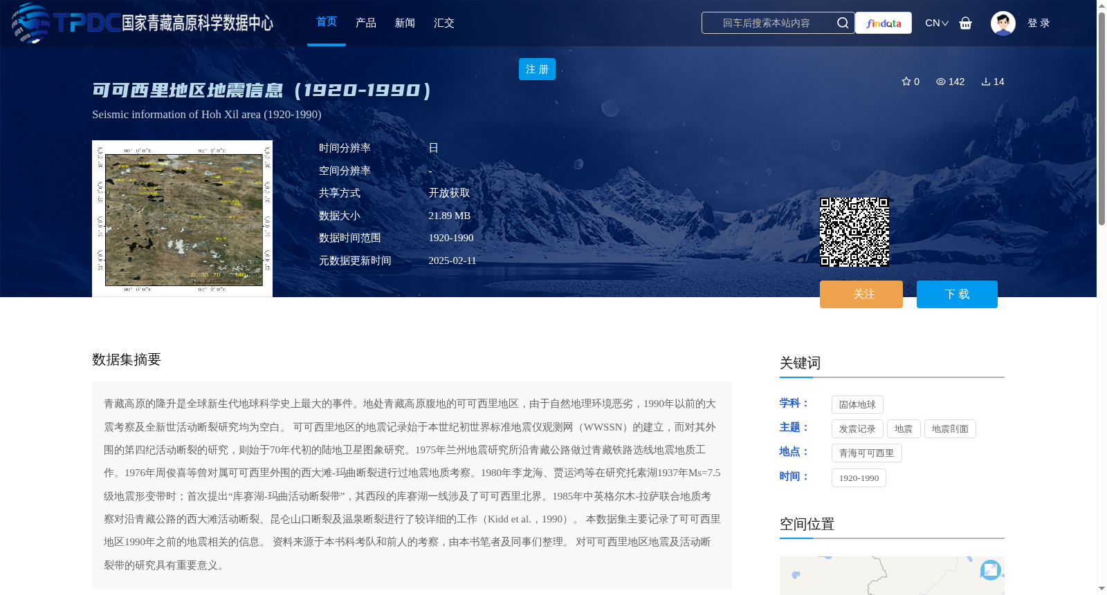
可可西里地区地震信息(1920-1990)
收藏国家青藏高原科学数据中心2025-02-11 更新2025-03-08 收录
下载链接:
https://data.tpdc.ac.cn/zh-hans/data/30756c66-4e9c-4359-9c6a-20c7708a8d02
下载链接
链接失效反馈官方服务:
资源简介:
青藏高原的隆升是全球新生代地球科学史上最大的事件。地处青藏高原腹地的可可西里地区,由于自然地理环境恶劣,1990年以前的大震考察及全新世活动断裂研究均为空白。
可可西里地区的地震记录始于本世纪初世界标准地震仪观测网(WWSSN)的建立,而对其外围的第四纪活动断裂的研究,则始于70年代初的陆地卫星图象研究。1975年兰州地震研究所沿青藏公路做过青藏铁路选线地震地质工作。1976年周俊喜等曾对属可可西里外围的西大滩-玛曲断裂进行过地震地质考察。1980年李龙海、贾运鸿等在研究托素湖1937年Ms=7.5级地震形变带时;首次提出“库赛湖-玛曲活动断裂带”,其西段的库赛湖一线涉及了可可西里北界。1985年中英格尔木-拉萨联合地质考察对沿青藏公路的西大滩活动断裂、昆仑山口断裂及温泉断裂进行了较详细的工作(Kidd et al.,1990)。
本数据集主要记录了可可西里地区1990年之前的地震相关的信息。
资料来源于本书科考队和前人的考察,由本书笔者及同事们整理。
对可可西里地区地震及活动断裂带的研究具有重要意义。
The uplift of the Tibetan Plateau is the most significant event in the global Cenozoic geoscience history. The Hoh Xil region, located in the interior of the Tibetan Plateau, had no prior large earthquake surveys or Holocene active fault studies before 1990 due to its harsh natural geographical environment.
Seismic records for the Hoh Xil region began with the establishment of the World-Wide Standard Seismograph Network (WWSSN) in the early 21st century, while studies on the Quaternary active faults in its peripheral areas started with Landsat satellite image research in the early 1970s. In 1975, the Lanzhou Institute of Seismology conducted seismic-geological work for the Qinghai-Tibet Railway route selection along the Qinghai-Tibet Highway. In 1976, Zhou Junxi et al. conducted a seismic-geological survey on the Xidatan-Maqu Fault, which belongs to the peripheral area of the Hoh Xil region. In 1980, when studying the earthquake deformation zone of the 1937 Ms=7.5 earthquake in Tosu Lake, Li Longhai, Jia Yunhong et al. proposed the "Kusai Lake-Maqu Active Fault Zone" for the first time; its western section along the Kusai Lake involves the northern boundary of the Hoh Xil region. In 1985, the Sino-British Golmud-Lhasa joint geological expedition conducted relatively detailed research on the Xidatan Active Fault, Kunlun Pass Fault and Wenquan Fault along the Qinghai-Tibet Highway (Kidd et al., 1990).
This dataset mainly records seismic-related information for the Hoh Xil region prior to 1990. The data is sourced from the surveys conducted by the expedition team of this monograph and previous researchers, and was collated by the author and colleagues of this book. This dataset is of great significance for the study of earthquakes and active fault zones in the Hoh Xil region.
提供机构:
可可西里综合科学考察队,边千韬,郑祥身
创建时间:
2021-07-22
搜集汇总
数据集介绍
背景与挑战
背景概述
该数据集记录了1920年至1990年可可西里地区的地震信息,包括发震记录和活动构造数据,以Excel和专题地图格式存储,数据来源于历史科考考察和整理,对研究青藏高原地震活动具有重要意义。
以上内容由遇见数据集搜集并总结生成


