三江源1:100万行政边界数据(2017)
收藏国家青藏高原科学数据中心2021-07-29 更新2024-03-01 收录
下载链接:
https://data.tpdc.ac.cn/zh-hans/data/2059e0c0-f426-42ae-9140-d1e62ba7a83c
下载链接
链接失效反馈官方服务:
资源简介:
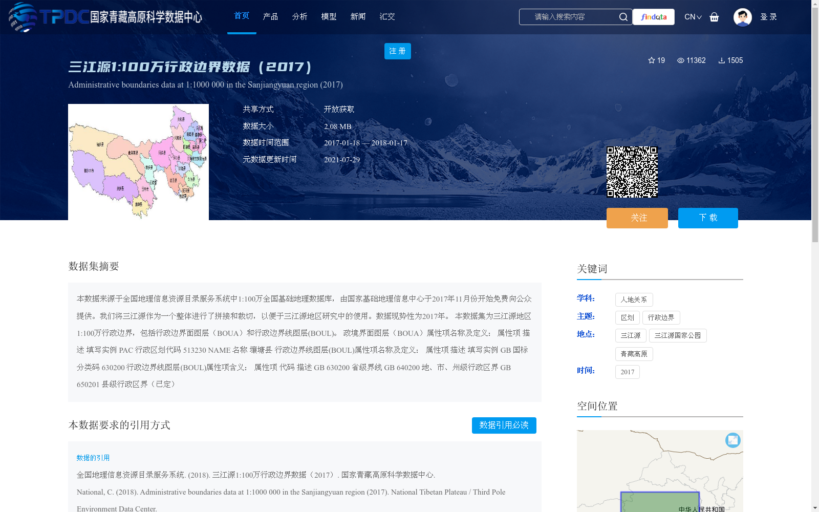
本数据来源于全国地理信息资源目录服务系统中1:100万全国基础地理数据库,由国家基础地理信息中心于2017年11月份开始免费向公众提供。我们将三江源作为一个整体进行了拼接和裁切,以便于三江源地区研究中的使用。数据现势性为2017年。
本数据集为三江源地区1:100万行政边界,包括行政边界面图层(BOUA)和行政边界线图层(BOUL)。
政境界面图层(BOUA)属性项名称及定义:
属性项 描述 填写实例
PAC 行政区划代码 513230
NAME 名称 壤塘县
行政边界线图层(BOUL)属性项名称及定义:
属性项 描述 填写实例
GB 国标分类码 630200
行政边界线图层(BOUL)属性项含义:
属性项 代码 描述
GB 630200 省级界线
GB 640200 地、市、州级行政区界
GB 650201 县级行政区界(已定)
This dataset is derived from the 1:1,000,000 National Fundamental Geographic Database of the National Geographic Information Resource Directory Service System, and was freely provided to the public by the National Geomatics Center of China starting in November 2017. We spliced and clipped the original dataset as a whole to create a dedicated dataset for the Sanjiangyuan Region to support relevant research activities. The data currency of this dataset is 2017.
This dataset provides 1:1,000,000 scale administrative boundary data for the Sanjiangyuan Region, including the administrative boundary polygon layer (BOUA) and administrative boundary line layer (BOUL).
Attribute names and definitions for the administrative boundary polygon layer (BOUA):
| Attribute | Description | Example |
|-----------|-------------|---------|
| PAC | Administrative division code | 513230 |
| NAME | Place Name | Rangtang County |
Attribute names and definitions for the administrative boundary line layer (BOUL):
| Attribute | Description | Example |
|-----------|-------------|---------|
| GB | National Standard Classification Code | 630200 |
Attribute meaning explanations for the administrative boundary line layer (BOUL):
| Attribute | Code | Description |
|-----------|------|-------------|
| GB | 630200 | Provincial Administrative Boundary |
| GB | 640200 | Prefecture-level (prefecture, city, autonomous prefecture) Administrative Boundary |
| GB | 650201 | Confirmed County-level Administrative Boundary
提供机构:
全国地理信息资源目录服务系统
创建时间:
2018-11-27
搜集汇总
数据集介绍
背景与挑战
背景概述
该数据集是三江源地区2017年的1:100万行政边界数据,来源于国家基础地理信息中心免费提供的全国基础地理数据库,现势性为2017年。它包括行政边界面和边界线两个图层,涵盖省级、地市级和县级行政区划,数据大小为2.08 MB,适用于三江源地区的地理和人文研究。
以上内容由遇见数据集搜集并总结生成


