
US Municipal Boundaries
收藏Snowflake2024-01-02 更新2024-05-01 收录
下载链接:
https://app.snowflake.com/marketplace/listing/GZT0Z2BR4AC8H
下载链接
链接失效反馈官方服务:
资源简介:
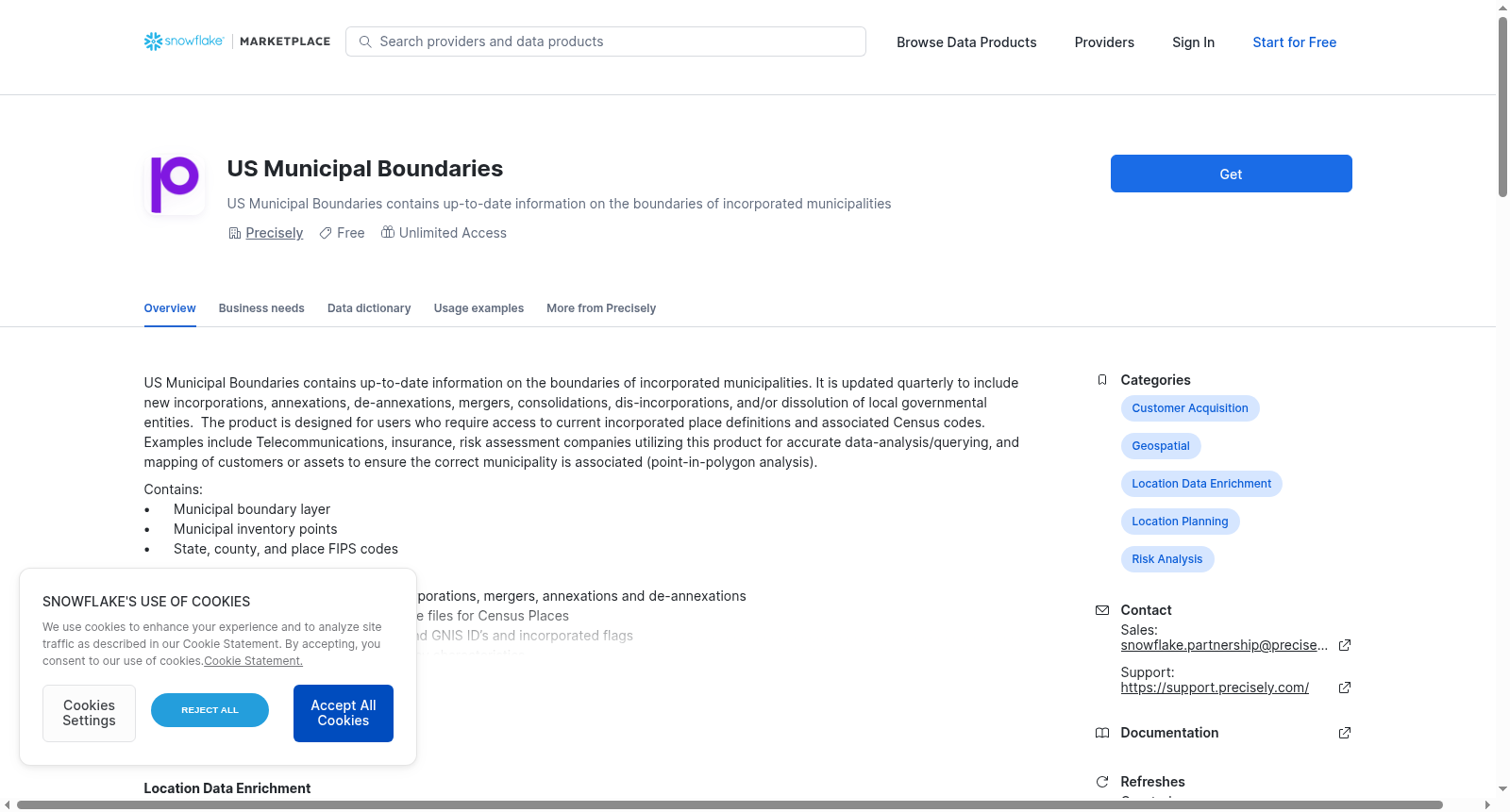
US Municipal Boundaries contains up-to-date information on the boundaries of incorporated municipalities. It is updated quarterly to include new incorporations, annexations, de-annexations, mergers, consolidations, dis-incorporations, and/or dissolution of local governmental entities. The product is designed for users who require access to current incorporated place definitions and associated Census codes. Examples include Telecommunications, insurance, risk assessment companies utilizing this product for accurate data-analysis/querying, and mapping of customers or assets to ensure the correct municipality is associated (point-in-polygon analysis).
Contains:
• Municipal boundary layer
• Municipal inventory points
• State, county, and place FIPS codes
Features:
• Updated quarterly to include new incorporations, mergers, annexations and de-annexations
• Data corresponds to Census TIGER/Line files for Census Places
• Attributes include update flags, FIPS and GNIS ID’s and incorporated flags
• Enhancements ensure consistent overlay characteristics
Additional information:
Incorporated and unincorporated places:
• Incorporated place boundaries are continually updated and enhanced, using current information from government sources.
• Unincorporated places that are defined by the Census Bureau as Designated Places are included in Municipal Boundaries (US) for additional reference, but are only updated after each decennial census. Unincorporated places will remain current to 2020 until data from the 2030 census is incorporated in the Municipal Boundaries product, likely sometime in 2031.
This sample data set covers the San Francisco, CA area. This represents a subset of the full product’s geographic extent. The full commercial offering features geographic coverage of the entire United States. Contact snowflake.partnership@precisely.com for more information on licensing the product.
提供机构:
Precisely创建时间:
2024-01-02
搜集汇总
数据集介绍
背景与挑战
背景概述
该数据集提供美国市政边界的最新信息,包括边界层、库存点及FIPS等编码,每季度更新以反映合并、兼并等变化,适用于电信和保险等行业进行数据分析和地理映射。它区分已合并和未合并地区,其中未合并地区仅随人口普查更新,样本覆盖旧金山区域,完整版本涵盖全美范围。
以上内容由遇见数据集搜集并总结生成


