典型地物光谱测量数据——西藏阿里(2017)
收藏国家青藏高原科学数据中心2025-05-14 更新2024-03-01 收录
下载链接:
https://data.tpdc.ac.cn/zh-hans/data/5d8bebf5-9367-4826-8329-6fa62649e10d
下载链接
链接失效反馈官方服务:
资源简介:
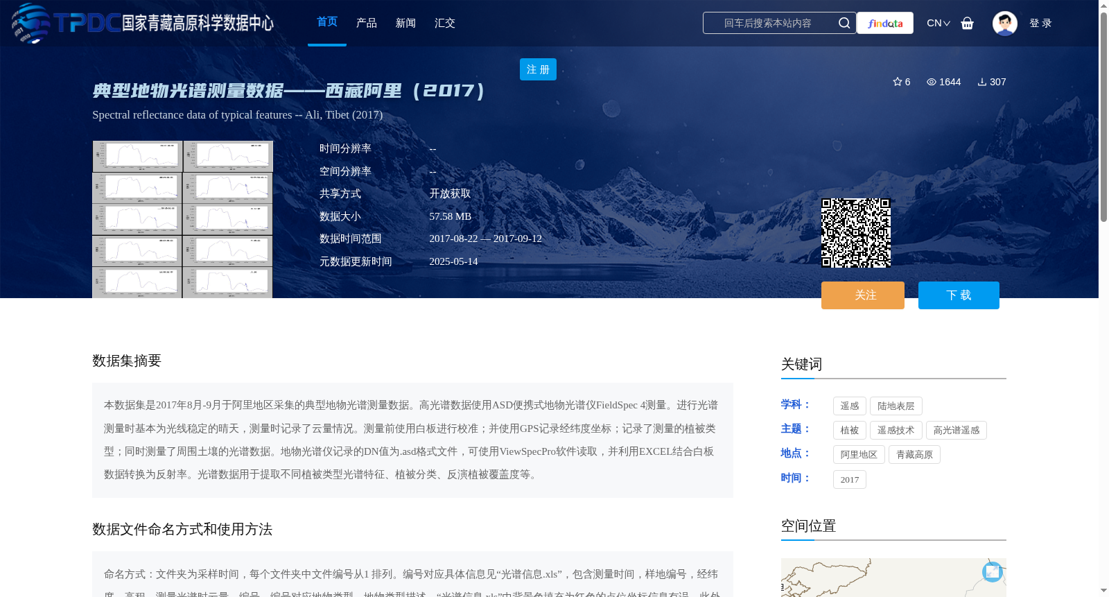
本数据集是2017年8月-9月于阿里地区采集的典型地物光谱测量数据。高光谱数据使用ASD便携式地物光谱仪FieldSpec 4测量。进行光谱测量时基本为光线稳定的晴天,测量时记录了云量情况。测量前使用白板进行校准;并使用GPS记录经纬度坐标;记录了测量的植被类型;同时测量了周围土壤的光谱数据。地物光谱仪记录的DN值为.asd格式文件,可使用ViewSpecPro软件读取,并利用EXCEL结合白板数据转换为反射率。光谱数据用于提取不同植被类型光谱特征、植被分类、反演植被覆盖度等。
This dataset comprises typical surface feature spectral measurement data collected in the Ali Region between August and September 2017. Hyperspectral data was acquired using an ASD FieldSpec 4 portable surface feature spectrometer. Most measurements were carried out on sunny days with stable lighting, and cloud cover conditions were documented during each measurement. Prior to data collection, calibration was performed using a whiteboard; GPS was utilized to record longitude and latitude coordinates; the type of measured vegetation was noted; and spectral data of the surrounding soil was also collected. The DN values recorded by the spectrometer are saved in .asd format files, which can be read via ViewSpecPro software and converted to reflectance using Excel in conjunction with the whiteboard calibration data. This spectral data can be used for extracting spectral features of different vegetation types, vegetation classification, vegetation coverage inversion, and other related research applications.
提供机构:
刘林山,张炳华
创建时间:
2021-12-15
搜集汇总
数据集介绍
背景与挑战
背景概述
该数据集是2017年8月至9月在西藏阿里地区采集的典型地物光谱测量数据,使用ASD便携式地物光谱仪FieldSpec 4获取,包括高光谱反射率数据、GPS坐标、植被类型和土壤光谱信息,主要用于植被光谱特征分析、分类和覆盖度反演。数据以.asd格式存储,需通过专业软件处理,覆盖阿里地区关键地理范围,适用于遥感研究和陆地表层监测。
以上内容由遇见数据集搜集并总结生成


