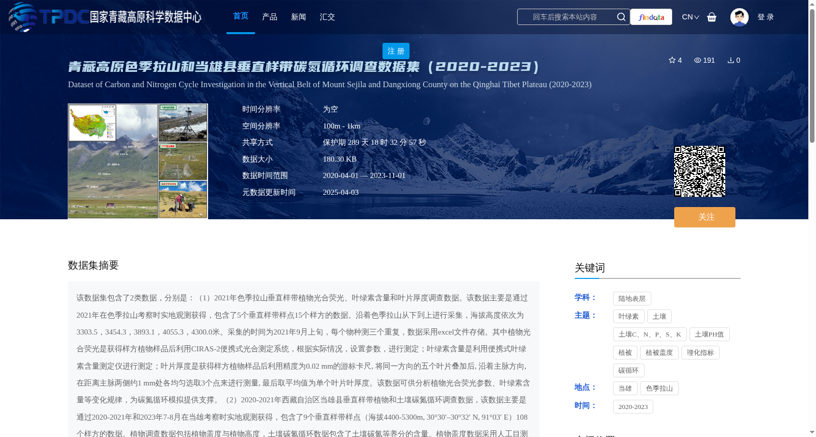
青藏高原色季拉山和当雄县垂直样带碳氮循环调查数据集(2020-2023)
收藏资源简介:
该数据集包含了2类数据,分别是:(1)2021年色季拉山垂直样带植物光合荧光、叶绿素含量和叶片厚度调查数据。该数据主要是通过2021年在色季拉山考察时实地观测获得,包含了5个垂直样带样点15个样方的数据。沿着色季拉山从下到上进行采集,海拔高度依次为3303.5,3454.3,3893.1,4055.3,4300.0米。采集的时间为2021年9月上旬,每个物种测三个重复,数据采用excel文件存储。其中植物光合荧光是获得样方植物样品后利用CIRAS-2便携式光合测定系统,根据实际情况,设置参数,进行测定;叶绿素含量是利用便携式叶绿素含量测定仪进行测定;叶片厚度是获得样方植物样品后利用精度为0.02 mm的游标卡尺, 将同一方向的五个叶片叠加后, 沿着主脉方向, 在距离主脉两侧约1 mm处各均匀选取3个点来进行测量, 最后取平均值为单个叶片叶厚度。该数据可供分析植物光合荧光参数、叶绿素含量等变化规律,为碳氮循环模拟提供支撑。(2)2020-2021年西藏自治区当雄县垂直样带植物和土壤碳氮循环调查数据,该数据主要是通过2020-2021年和2023年7-8月在当雄考察时实地观测获得,包含了9个垂直样带样点(海拔4400-5300m, 30°30′–30°32′ N, 91°03′ E)108个样方的数据。植物调查数据包括植物盖度与植物高度,土壤碳氮循环数据包含了土壤碳氮等养分的含量。植物盖度数据采用人工目测获得,植物高度采用尺子测量获得,土壤碳氮等养分数据采用样方调查与实地打土钻(0-10cm土层)获得。获得样方土壤样品后带回实验室进行初步分类、洗根、筛去杂碎石头等杂质,风干后研磨,使用元素分析仪等仪器进行化验测定,其中土壤碳氮循环相关数据为5个样带样点,共计60个样方,包含土壤pH、土壤全碳、全氮、土壤无机碳、土壤铵态氮、硝态氮。该数据可供分析西藏高海拔植被特征、土壤碳氮含量等相关规律,特别是可供气候变暖驱动的碳氮循环研究分析及其建模使用,具有较为广泛的使用价值。
This dataset includes two categories of data: (1) Plant photosynthetic fluorescence, chlorophyll content and leaf thickness survey data along the altitudinal transect of Sejila Mountain in 2021. This data was acquired via field investigations conducted in Sejila Mountain in 2021, covering data from 15 quadrats at 5 altitudinal transect sampling sites. Samples were collected from the bottom to the top of Sejila Mountain, with altitudes of 3303.5, 3454.3, 3893.1, 4055.3 and 4300.0 meters respectively. The collection was carried out in early September 2021, and three replicates were measured for each species. All data are stored in Excel files. For plant photosynthetic fluorescence measurements, after collecting plant samples from quadrats, the CIRAS-2 portable photosynthesis system was used with parameters set based on actual conditions. Chlorophyll content was measured using a portable chlorophyll content meter. For leaf thickness measurement, after collecting plant samples from quadrats, a vernier caliper with a precision of 0.02 mm was employed: five leaves in the same direction were stacked, and three evenly distributed points were selected along the main vein direction at approximately 1 mm from both sides of the main vein for measurement, with the average value taken as the leaf thickness of a single blade. This dataset can be used to analyze the variation patterns of plant photosynthetic fluorescence parameters, chlorophyll content and other indicators, providing support for carbon and nitrogen cycle simulations. (2) Plant and soil carbon and nitrogen cycle survey data along the altitudinal transect in Damxung County, Tibet Autonomous Region from 2020 to 2021. This data was obtained via field investigations conducted in Damxung from 2020 to 2021 and July to August 2023, covering data from 108 quadrats at 9 altitudinal transect sampling sites (altitude range: 4400–5300 m, 30°30′–30°32′ N, 91°03′ E). The plant survey data includes plant coverage and plant height, while the soil carbon and nitrogen cycle data contains nutrient contents such as soil carbon and nitrogen. Plant coverage was measured via manual visual estimation, and plant height was measured using a ruler. Soil carbon and nitrogen nutrient data was collected through quadrat surveys and field soil drilling (0–10 cm soil layer). After collecting soil samples from quadrats, they were transported to the laboratory for preliminary classification, root washing, sieving to remove impurities such as gravel, air-dried and ground, followed by assay and measurement using instruments including elemental analyzers. The soil carbon and nitrogen cycle-related data covers 60 quadrats at 5 sampling transect sites, including soil pH, soil total carbon, total nitrogen, soil inorganic carbon, soil ammonium nitrogen and nitrate nitrogen. This dataset can be used to analyze the characteristics of high-altitude vegetation in Tibet, soil carbon and nitrogen content and other related patterns, especially for research, analysis and modeling of carbon and nitrogen cycles driven by climate warming, with broad application value.