1991-2018年青藏高原面积大于10平方公里的湖泊逐年分布数据集
收藏国家生态科学数据中心2024-03-04 收录
下载链接:
http://www.nesdc.org.cn/sdo/detail?id=6406a0857e281740ae0f2923
下载链接
链接失效反馈官方服务:
资源简介:
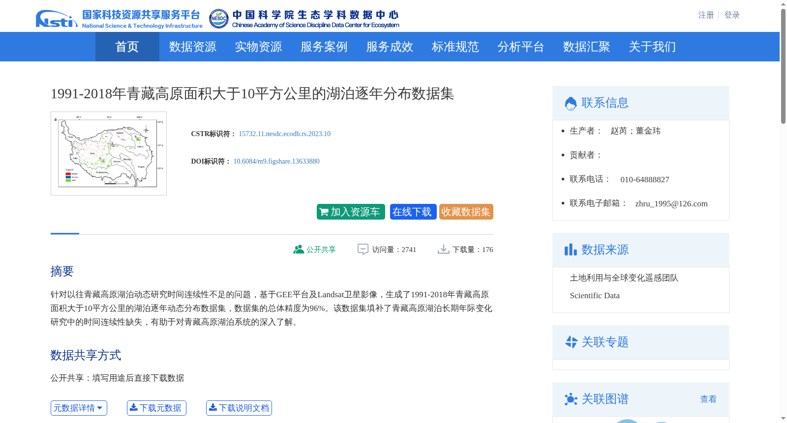
针对以往青藏高原湖泊动态研究时间连续性不足的问题,基于GEE平台及Landsat卫星影像,生成了1991-2018年青藏高原面积大于10平方公里的湖泊逐年动态分布数据集,数据集的总体精度为96%。该数据集填补了青藏高原湖泊长期年际变化研究中的时间连续性缺失,有助于对青藏高原湖泊系统的深入了解。
Aiming to address the insufficient temporal continuity in previous studies on lake dynamics over the Qinghai-Tibet Plateau, this study utilized the Google Earth Engine (GEE) platform and Landsat satellite imagery to generate a yearly dynamic distribution dataset of lakes with an area greater than 10 km² across the Qinghai-Tibet Plateau during 1991–2018. The overall accuracy of this dataset is 96%. This dataset fills the gap in temporal continuity for long-term interannual variation research on lakes over the Qinghai-Tibet Plateau, and contributes to in-depth insights into the lake system of the Qinghai-Tibet Plateau.
提供机构:
团队
创建时间:
2021-09-20
搜集汇总
数据集介绍
背景与挑战
背景概述
该数据集基于GEE平台和Landsat卫星影像,生成了1991-2018年青藏高原面积大于10平方公里湖泊的逐年动态分布数据,总体精度达96%。它填补了青藏高原湖泊长期年际变化研究的时间连续性空白,有助于深入理解湖泊系统的演变,覆盖空间范围25°59′N–39°49′N和73°29′E–104°40′E,属于地球科学和生态学领域。
以上内容由遇见数据集搜集并总结生成


