Multibeam bathymetry raw data (Kongsberg EM 122 entire dataset) of RV METEOR during cruise M167
收藏DataCite Commons2025-04-23 更新2025-05-18 收录
下载链接:
https://doi.pangaea.de/10.1594/PANGAEA.938121
下载链接
链接失效反馈官方服务:
资源简介:
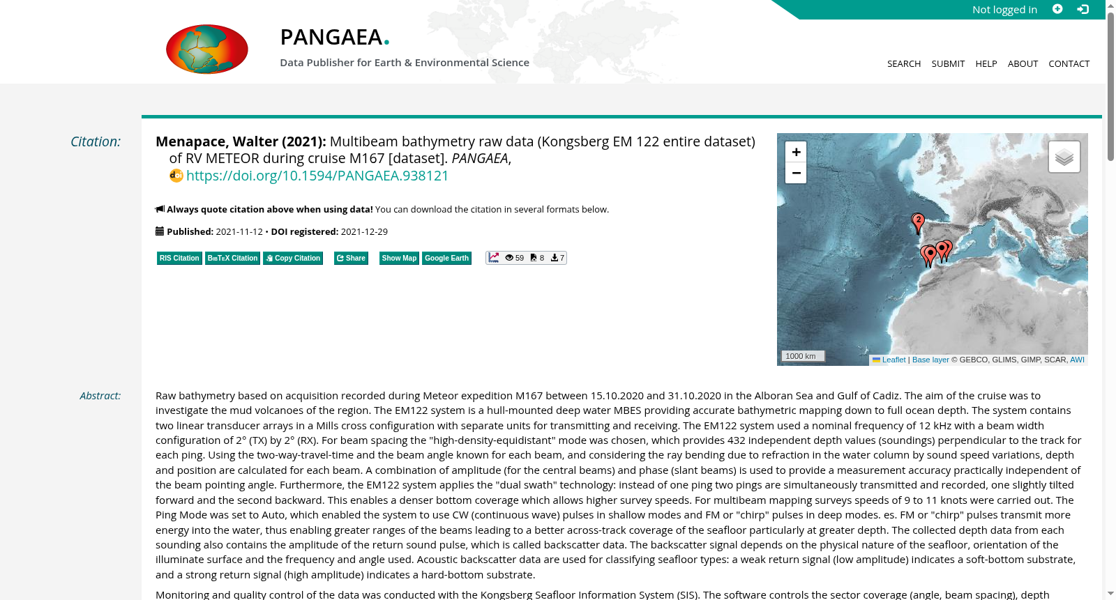
Raw bathymetry based on acquisition recorded during Meteor expedition M167 between 15.10.2020 and 31.10.2020 in the Alboran Sea and Gulf of Cadiz. The aim of the cruise was to investigate the mud volcanoes of the region. The EM122 system is a hull-mounted deep water MBES providing accurate bathymetric mapping down to full ocean depth. The system contains two linear transducer arrays in a Mills cross configuration with separate units for transmitting and receiving. The EM122 system used a nominal frequency of 12 kHz with a beam width configuration of 2° (TX) by 2° (RX). For beam spacing the "high-density-equidistant" mode was chosen, which provides 432 independent depth values (soundings) perpendicular to the track for each ping. Using the two-way-travel-time and the beam angle known for each beam, and considering the ray bending due to refraction in the water column by sound speed variations, depth and position are calculated for each beam. A combination of amplitude (for the central beams) and phase (slant beams) is used to provide a measurement accuracy practically independent of the beam pointing angle. Furthermore, the EM122 system applies the "dual swath" technology: instead of one ping two pings are simultaneously transmitted and recorded, one slightly tilted forward and the second backward. This enables a denser bottom coverage which allows higher survey speeds. For multibeam mapping surveys speeds of 9 to 11 knots were carried out. The Ping Mode was set to Auto, which enabled the system to use CW (continuous wave) pulses in shallow modes and FM or "chirp" pulses in deep modes. es. FM or "chirp" pulses transmit more energy into the water, thus enabling greater ranges of the beams leading to a better across-track coverage of the seafloor particularly at greater depth. The collected depth data from each sounding also contains the amplitude of the return sound pulse, which is called backscatter data. The backscatter signal depends on the physical nature of the seafloor, orientation of the illuminate surface and the frequency and angle used. Acoustic backscatter data are used for classifying seafloor types: a weak return signal (low amplitude) indicates a soft-bottom substrate, and a strong return signal (high amplitude) indicates a hard-bottom substrate.Monitoring and quality control of the data was conducted with the Kongsberg Seafloor Information System (SIS). The software controls the sector coverage (angle, beam spacing), depth settings (swath mode, ping mode) and transmission control (pitch stabilization). The data was stored every 30 minutes as an *.ALL file with all required information about ship motion, GPS, vessel speed, number of beams, total time, and track. During data acquisition, sound velocity measurements were applied on the data for data calibration. Sound velocity raw and processed data files are part of this dataset. The multibeam data was post-processed with the MB-System (Caress and Chayes, 1996) and the Generic Mapping Tool software (GMT; Wessel and Smith, 1998). For more details on data acquisition please see the M167 cruise report.
本数据集基于2020年10月15日至10月31日期间,在阿尔沃兰海与加的斯湾开展的Meteor科考航次M167期间采集的原始测深数据。本次航次的科考目标为调查该区域的泥火山。
EM122系统为船壳安装式深水多波束测深系统(MBES),可实现全大洋深度的高精度测深制图。该系统采用米尔斯十字(Mills cross)配置的两个线性换能器阵列,分别配备独立的发射与接收单元。EM122系统的标称工作频率为12 kHz,波束宽度配置为2°(发射,TX)×2°(接收,RX)。波束间距采用“高密度等间距”模式,每个声脉冲(ping)可在航迹垂直方向生成432个独立的深度测深点。
利用每个波束已知的双向传播时间与波束角,并考虑水柱内声速变化导致的声波折射弯曲,可计算出每个波束对应的深度与位置。系统采用振幅(针对中心波束)与相位(针对斜波束)结合的方式,实现测量精度几乎不受波束指向角影响。此外,EM122系统应用了“双条带”技术:同时发射并记录两个声脉冲,一个略微向前倾斜,另一个向后倾斜,以此实现更密集的海底覆盖,从而允许更高的勘测航速。本次多波束测深制图的航速设置为9至11节。
声脉冲模式设置为自动模式,该模式下系统在浅水区采用连续波(CW)脉冲,在深水区采用调频(FM)或“啁啾”(chirp)脉冲。调频或啁啾脉冲可向水体发射更多能量,从而实现更大的波束作用距离,尤其在大水深区域可实现更优质的跨航迹海底覆盖。
采集的每个测深点的深度数据还包含返回声脉冲的振幅,即后向散射数据。后向散射信号取决于海底物理性质、受照表面朝向以及所用频率与角度。声学后向散射数据可用于海底底质分类:弱返回信号(低振幅)指示软质底质,强返回信号(高振幅)指示硬质底质。
数据的监测与质量控制通过Kongsberg海底信息系统(SIS)完成。该软件可管控扇区覆盖范围(角度、波束间距)、深度设置(条带模式、声脉冲模式)与发射控制(俯仰稳定)。数据每30分钟存储为一个"*.ALL"文件,包含船舶运动、GPS、航速、波束数量、总时长与航迹等所有必要信息。在数据采集期间,同步开展声速测量以用于数据校准,声速原始数据与处理后数据文件均包含在本数据集内。
多波束数据采用MB-System(Caress与Chayes,1996)与通用制图工具(GMT;Wessel与Smith,1998)进行后处理。如需了解更多数据采集细节,请参阅M167航次报告。
提供机构:
PANGAEA
创建时间:
2021-12-29
搜集汇总
数据集介绍
背景与挑战
背景概述
该数据集包含RV METEOR船在M167航次期间使用Kongsberg EM 122多波束测深仪采集的原始测深数据,覆盖阿尔沃兰海和加的斯湾区域,主要用于研究泥火山。数据包含深度、反向散射和声速测量信息,适用于海底地形和地质研究。
以上内容由遇见数据集搜集并总结生成


