金沙江11.03白格滑坡堰塞湖泄流洪水对下游地区受灾影响考察报告(2018-2021)
收藏国家青藏高原科学数据中心2022-03-03 更新2024-03-01 收录
下载链接:
https://data.tpdc.ac.cn/zh-hans/data/1638b8bf-6ac2-406e-a650-bbd61ab7c000
下载链接
链接失效反馈官方服务:
资源简介:
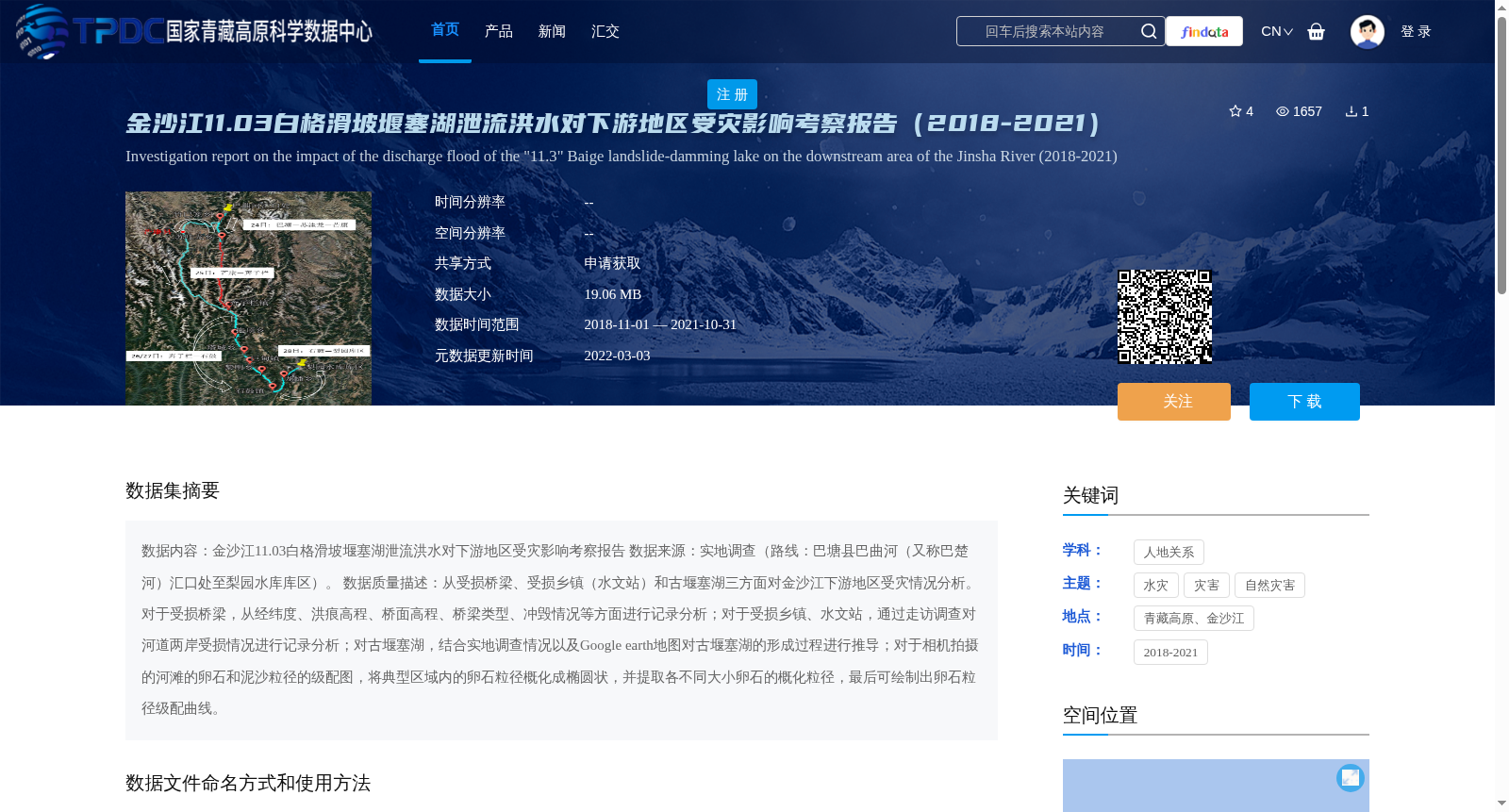
数据内容:金沙江11.03白格滑坡堰塞湖泄流洪水对下游地区受灾影响考察报告
数据来源:实地调查(路线:巴塘县巴曲河(又称巴楚河)汇口处至梨园水库库区)。
数据质量描述:从受损桥梁、受损乡镇(水文站)和古堰塞湖三方面对金沙江下游地区受灾情况分析。对于受损桥梁,从经纬度、洪痕高程、桥面高程、桥梁类型、冲毁情况等方面进行记录分析;对于受损乡镇、水文站,通过走访调查对河道两岸受损情况进行记录分析;对古堰塞湖,结合实地调查情况以及Google earth地图对古堰塞湖的形成过程进行推导;对于相机拍摄的河滩的卵石和泥沙粒径的级配图,将典型区域内的卵石粒径概化成椭圆状,并提取各不同大小卵石的概化粒径,最后可绘制出卵石粒径级配曲线。
Data Content: Investigation Report on the Impact of Flood Discharge from the November 3 Baige Landslide Barrier Lake on Disaster-stricken Areas in the Downstream of the Jinsha River. Data Source: Field Investigation (Route: From the confluence of the Baqu River (also known as Bachu River) in Batang County to the reservoir area of the Liyuan Reservoir). Data Quality Description: The disaster situation in the downstream Jinsha River region is analyzed from three aspects: damaged bridges, damaged towns (hydrological stations) and ancient barrier lakes. For damaged bridges, record and analyze their longitude and latitude, flood mark elevation, bridge deck elevation, bridge type, scouring and destruction status and other relevant information; For damaged towns and hydrological stations, record and analyze the damage conditions on both banks of the river through interviews and investigations; For ancient barrier lakes, deduce their formation process based on field survey data and Google Earth maps; For the grain size distribution maps of pebbles and sediment on the river beach captured by cameras, generalize the particle sizes of pebbles in typical areas into elliptical shapes, extract the generalized particle sizes of pebbles of different sizes, and finally draw the grain size distribution curves of pebbles.
提供机构:
张新华
创建时间:
2022-02-18
搜集汇总
数据集介绍
背景与挑战
背景概述
该数据集提供了2018-2021年金沙江白格滑坡堰塞湖泄流洪水对下游地区受灾影响的详细考察报告,包括受损桥梁、乡镇和水文站的调查数据,以及古堰塞湖形成过程的推导和卵石粒径级配分析。数据以Word文档形式存储,适用于直接阅读和分析。
以上内容由遇见数据集搜集并总结生成


