青藏高原一江两河距今2000年耕地重建数据
收藏国家青藏高原科学数据中心2025-04-10 更新2025-04-19 收录
下载链接:
https://data.tpdc.ac.cn/zh-hans/data/6639e850-8ffb-4ea3-ac5a-afd40f9fabd9
下载链接
链接失效反馈官方服务:
资源简介:
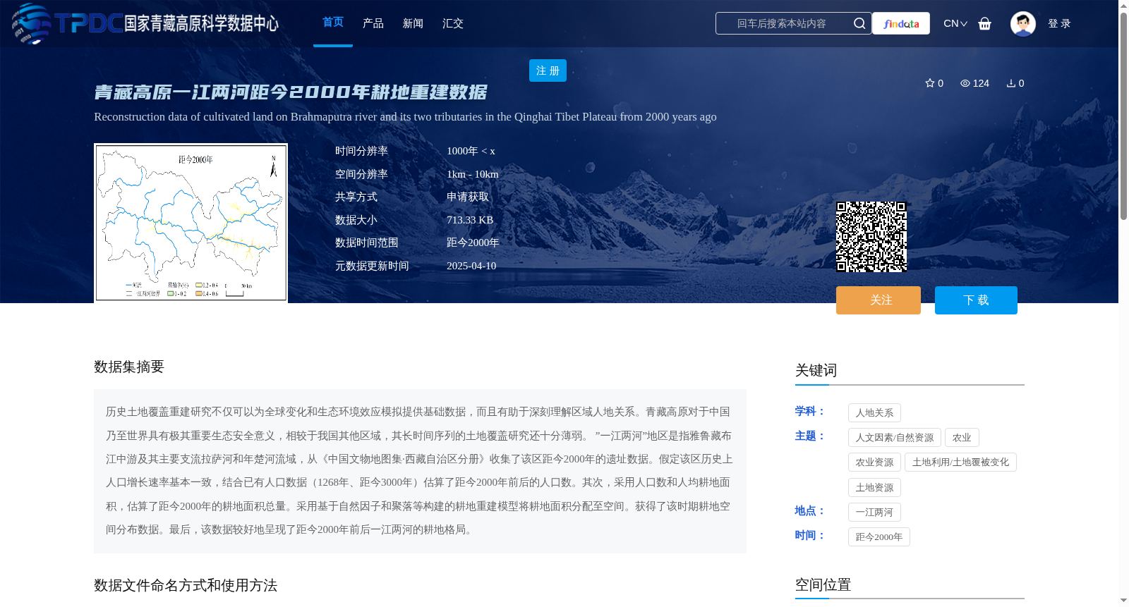
历史土地覆盖重建研究不仅可以为全球变化和生态环境效应模拟提供基础数据,而且有助于深刻理解区域人地关系。青藏高原对于中国乃至世界具有极其重要生态安全意义,相较于我国其他区域,其长时间序列的土地覆盖研究还十分薄弱。
”一江两河”地区是指雅鲁藏布江中游及其主要支流拉萨河和年楚河流域,从《中国文物地图集·西藏自治区分册》收集了该区距今2000年的遗址数据。假定该区历史上人口增长速率基本一致,结合已有人口数据(1268年、距今3000年)估算了距今2000年前后的人口数。其次,采用人口数和人均耕地面积,估算了距今2000年的耕地面积总量。采用基于自然因子和聚落等构建的耕地重建模型将耕地面积分配至空间。获得了该时期耕地空间分布数据。最后,该数据较好地呈现了距今2000年前后一江两河的耕地格局。
Research on historical land cover reconstruction not only provides fundamental data for global change and ecological and environmental effect simulations, but also facilitates in-depth understanding of regional human-environment relationships.
The Qinghai-Tibet Plateau is of extremely vital ecological security significance to China and even the world. Compared with other regions in China, research on long-term time series land cover in this area remains very limited.
The "One River, Two Tributaries" area refers to the middle reaches of the Yarlung Zangbo River and its two major tributaries, the Lhasa River and the Nianchu River Basin. We collected site data dating back 2000 years in this area from *Atlas of Cultural Relics of China: Tibet Autonomous Region Volume*. Assuming that the historical population growth rate in this area was basically consistent, the population around 2000 years ago was estimated by combining existing population data (1268 AD, 3000 years ago). Secondly, the total cultivated land area around 2000 years ago was estimated using the population size and per capita cultivated land area. Then, the cultivated land area was spatially allocated using a cultivated land reconstruction model constructed based on natural factors, settlements and other relevant factors. Spatial distribution data of cultivated land in this period was obtained. Finally, this data well presents the cultivated land pattern of the "One River, Two Tributaries" area around 2000 years ago.
提供机构:
刘峰贵
创建时间:
2025-01-14
搜集汇总
数据集介绍
背景与挑战
背景概述
该数据集提供了青藏高原一江两河地区距今2000年的耕地重建数据,时间分辨率为1000年,空间分辨率为1km-10km,数据大小为713.33 KB。研究基于历史遗址数据和人口估算方法,重建了该时期的耕地空间分布,为人地关系研究和全球变化模拟提供了重要基础数据。
以上内容由遇见数据集搜集并总结生成


