雅鲁藏布江大拐弯地区古滑坡堰塞坝数据(2024)
收藏国家青藏高原科学数据中心2025-02-13 更新2025-03-29 收录
下载链接:
https://data.tpdc.ac.cn/zh-hans/data/276fad5a-de98-426d-b2b3-668c7e83d630
下载链接
链接失效反馈官方服务:
资源简介:
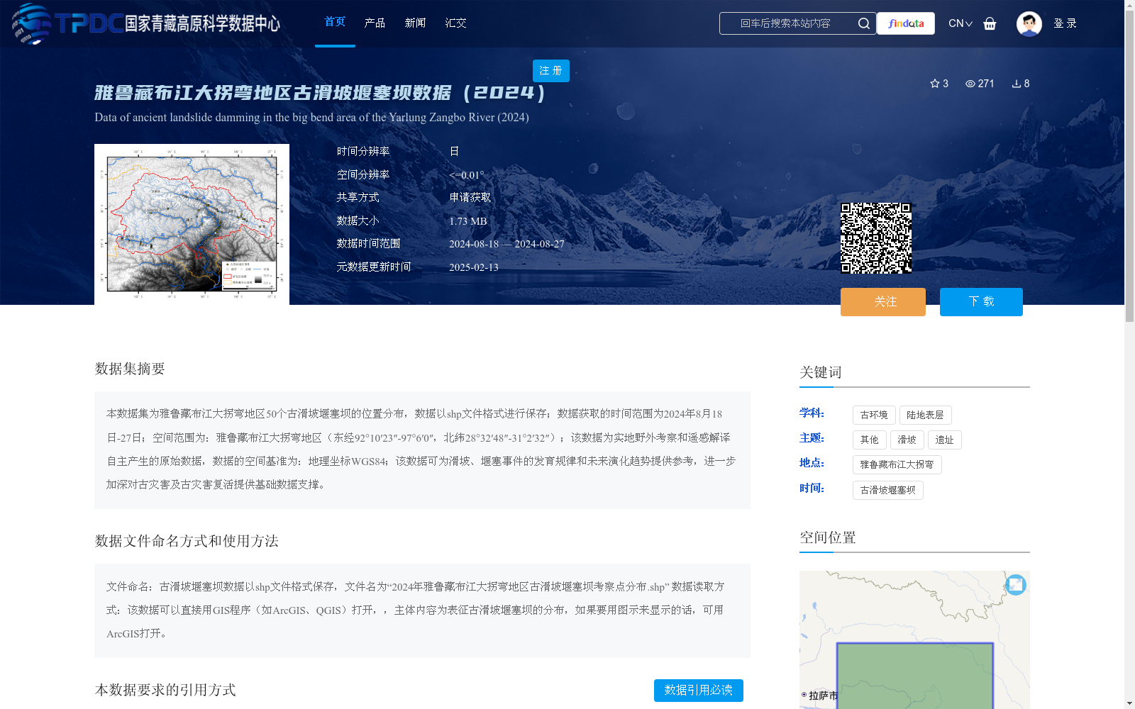
本数据集为雅鲁藏布江大拐弯地区50个古滑坡堰塞坝的位置分布,数据以shp文件格式进行保存;数据获取的时间范围为2024年8月18日-27日;空间范围为:雅鲁藏布江大拐弯地区(东经92°10′23″-97°6′0″,北纬28°32′48″-31°2′32″);该数据为实地野外考察和遥感解译自主产生的原始数据,数据的空间基准为:地理坐标WGS84;该数据可为滑坡、堰塞事件的发育规律和未来演化趋势提供参考,进一步加深对古灾害及古灾害复活提供基础数据支撑。
This dataset contains the location distribution of 50 ancient landslide barrier dams in the Great Bend of the Yarlung Zangbo River, and is stored in SHP file format. The data acquisition period spans from August 18 to 27, 2024. Its spatial coverage is the Great Bend of the Yarlung Zangbo River, with geographic coordinates ranging from 92°10′23″ E to 97°6′0″ E in longitude, and 28°32′48″ N to 31°2′32″ N in latitude. This is original data independently generated through field investigations and remote sensing interpretation, with the spatial reference being the WGS84 geographic coordinate system. This dataset can provide references for researching the development laws and future evolution trends of landslide and dammed lake events, and offer basic data support to further deepen the understanding of ancient disasters and their reactivation.
提供机构:
杨泽文,杨安娜,刘维明
创建时间:
2025-01-17
搜集汇总
数据集介绍
背景与挑战
背景概述
该数据集包含雅鲁藏布江大拐弯地区50个古滑坡堰塞坝的分布数据,以shp文件格式保存,数据获取于2024年8月,空间基准为WGS84,适用于滑坡和堰塞事件的研究。
以上内容由遇见数据集搜集并总结生成


