2015、2020、2024年桂林市主城区土地覆盖数据集
收藏地球大数据科学工程2026-02-04 更新2026-02-07 收录
下载链接:
https://data.casearth.cn/dataset/6960a87f97d0b0397736d8ab
下载链接
链接失效反馈官方服务:
资源简介:
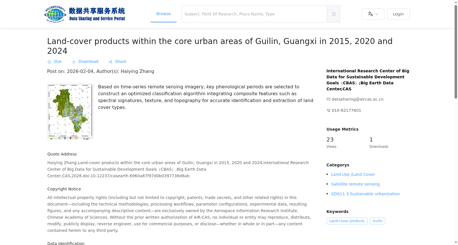
基于时间序列遥感影像筛选关键物候期,构建光谱、纹理、地形等复合特征优化算法,对地物类型进行识别和提取。
Based on time-series remote sensing images, key phenological periods are screened, and an optimized algorithm integrating composite features including spectral, textural and topographical characteristics is developed to identify and extract ground feature types.
创建时间:
2026-01-09
搜集汇总
数据集介绍
背景与挑战
背景概述
该数据集提供了2015、2020和2024年桂林市主城区的土地覆盖产品,基于时间序列遥感影像,采用优化分类算法(集成光谱、纹理和地形等特征)实现高精度识别。数据为矢量格式(shp),空间分辨率达2米,适用于城市变化监测和可持续城镇化研究。
以上内容由遇见数据集搜集并总结生成


