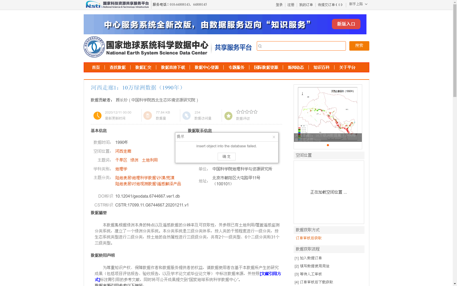
河西走廊1:10万绿洲数据(1990年)
收藏国家地球系统科学数据中心2020-12-11 更新2024-03-04 收录
下载链接:
https://www.geodata.cn/data/datadetails.html?dataguid=6744667&docId=11839
下载链接
链接失效反馈官方服务:
资源简介:
本数据集根据绿洲本身的特点以及遥感数据的分辨率及可获取性,并参照已有土地利用/覆盖遥感监测分类系统,建立了一个绿洲分类系统。本分类系统是三级分类体系,按人类的干预程度进行一级分类,按生态系统类型进行二级分类,按土地的自然属性进行三级级分类,共有2个一级类型、6个二级分类和31个三级类型。
This dataset establishes an oasis classification system based on the inherent characteristics of oases, the resolution and availability of remote sensing data, and with reference to existing land use/cover remote sensing monitoring classification systems. This classification system adopts a three-level hierarchical framework: the first-level classification is based on the degree of human intervention, the second-level classification is based on ecosystem types, and the third-level classification is based on the natural attributes of land. It comprises 2 first-level categories, 6 second-level categories, and 31 third-level categories.
提供机构:
中国科学院西北生态环境资源研究院
创建时间:
2020-12-11
搜集汇总
数据集介绍
背景与挑战
背景概述
该数据集为1990年河西走廊地区的1:10万比例尺绿洲数据,采用三级分类体系详细记录了绿洲的土地利用情况,数据质量高,类型准确率超过95%。数据来源于国家重点科研项目,适用于地理学和干旱区生态研究。
以上内容由遇见数据集搜集并总结生成


