Fault Rupture Mapping of the 6 February 2023 Kahramanmaraş, Türkiye, Earthquake Sequence from Satellite Data (ver. 1.1, February 2024)
收藏DataCite Commons2025-04-16 更新2024-07-13 收录
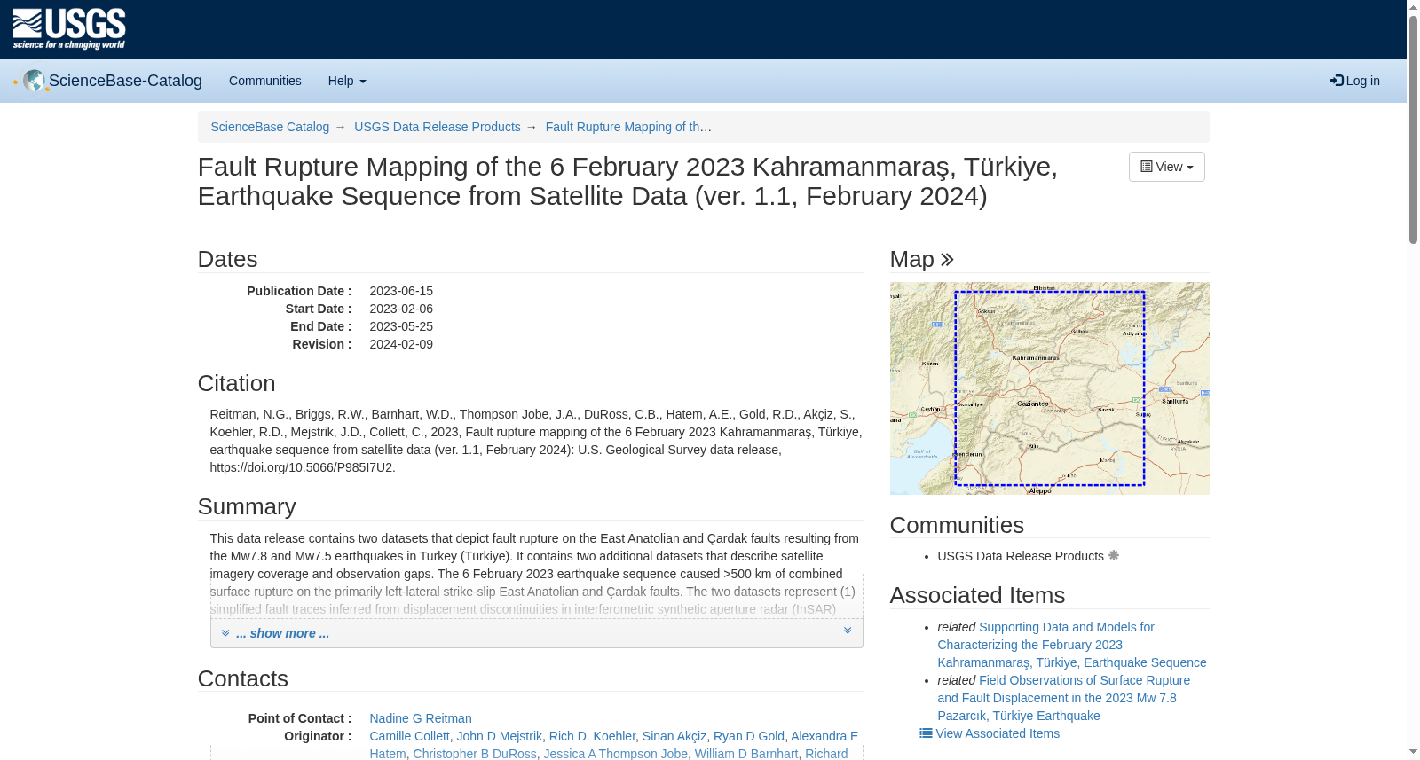
下载链接:
https://www.sciencebase.gov/catalog/item/644ad9afd34e45f6ddccf736
下载链接
链接失效反馈官方服务:
资源简介:
This data release contains two datasets that depict fault rupture on the East Anatolian and Çardak faults resulting from the Mw7.8 and Mw7.5 earthquakes in Turkey (Türkiye). It contains two additional datasets that describe satellite imagery coverage and observation gaps. The 6 February 2023 earthquake sequence caused >500 km of combined surface rupture on the primarily left-lateral strike-slip East Anatolian and Çardak faults. The two datasets represent (1) simplified fault traces inferred from displacement discontinuities in interferometric synthetic aperture radar (InSAR) scenes mapped at 1:750,000 scale (“simple_faults”) and (2) detailed mapping of fault surface rupture observed on high-resolution (<1.0 m/pix) optical images from the WorldView 1, 2, and 3 (© 2023 Maxar) satellites mapped at 1:1,500 scale (“surface_rupture_lines”). The mapping is based on satellite data and has been ground checked in select locations. These datasets were mapped primarily from February 6 to 17, 2023, with minor updates and quality control thereafter. They have undergone full peer review but remain subject to revision as more information becomes available. Datasets are provided in shapefile, KML, and geoJSON formats.
Updates to version 1.1: A minor update, version 1.1 contains new “simple_fault” and “surface_rupture lines” files. The “simple_fault” linework has been updated to include the correct orientation of the northern Narlı fault, checked on WorldView images and on the ground. The “surface_rupture_lines” linework has been updated with minor additional fault traces that were overlooked in v1.0 and updated locations of some surface rupture lines to agree with on-the-ground reconnaissance.
Disclaimer: "Any use of trade, firm, or product names is for descriptive purposes only and does not imply endorsement by the U.S. Government."
Explanation of Data:
Surface Rupture Lines
Detailed mapping of fault surface rupture visible on WorldView 1, 2, and 3 (© 2023 Maxar) images collected after the earthquakes with 0.3-1.0 m pixel resolution. WorldView images with poor georeferencing were georeferenced to pre-earthquake Microsoft Bing imagery on the south or southwest side of the fault. Due to the large offset magnitude and variable accuracy of georectified satellite images, rupture traces are commonly within 15 m, but may be up to 100 m, from their true location on the ground. The mapping has been reviewed for positional accuracy relative to WorldView images and confidence of tectonic origin. Lines included in this dataset are believed by the authors to result from fault surface rupture. Surface deformation believed to be related to liquefaction, lateral spread, or landslides is not included in this dataset. This dataset was mapped at 1:1,500 scale. Rupture trace mapping is incomplete because Maxar images are not available for the entire rupture area at the time of publication; the ground surface is obscured by clouds, snow, or forest; and several images have large off-nadir angles that cause image distortion. The “earthquake” field denotes if the feature is related to the Mw7.8 or Mw7.5 earthquake.
Simple Faults
Simplified mapping of fault traces observed from displacement discontinuities in InSAR scenes. Mapping was performed at 1:750,000 scale from Sentinel-1 range and azimuth displacements obtained from pixel correlation with ~30 m pixel resolution (Copernicus Open Access Hub, 2023). The mapped fault traces are inferred from InSAR data and not directly observed. These simplified fault traces were adjusted to be co-located with the detailed surface rupture mapping. The “earthquake” field denotes if the feature is related to the Mw7.8 or Mw7.5 earthquake. The InSAR sub-pixel offsets are available in a USGS data release (Goldberg et al., 2023). The file is called “SAR sub-pixel offsets of February 2023 Kahramanmaras, Türkiye, Earthquake Sequence”.
Imagery Coverage
This dataset shows post-earthquake WorldView (© 2023 Maxar) image coverage used for detailed surface rupture mapping. The “fileName” and "prodDesc" fields describe which WorldView images were used for mapping at that location. Images were collected between 6 February and 30 March 2023.
Observation Gaps
This dataset uses lines to depict why gaps (≥1 km) in the detailed surface rupture mapping exist. Gaps in detailed surface rupture mapping are described in the “reason” field. Flags are: “no image” where WorldView (© 2023 Maxar) imagery was not available; “cloudy” where images exist but the ground surface is obscured by clouds; “water” where the surface rupture crosses a body of water; or “rupture not observed” where images exist and the ground surface is visible, but surface rupture was not observed. “Rupture not observed” observation gaps may be due to ground cover (e.g., forest, snow) or gaps in the surface expression of fault rupture.
References
Copernicus Open Access Hub, 2023, Copernicus Sentinel-1 data. Retrieved from Copernicus SciHub and ASF DAAC February 2023, processed by ESA. https://scihub.copernicus.eu/
Goldberg, Tuncay Taymaz, William L. Yeck, William D. Barnhart, Seda Yolsal-Çevikbilen, Tahir Serkan Irmak, Taylan Öcalan, Berkan Özkan, Ceyhun Erman, Ali Hasan Doan, and Cemali Altunta, 2023, Supporting data and models for characterizing the February 2023 Kahramanmaras, Türkiye, earthquake sequence: U.S. Geological Survey data release, https://doi.org/10.5066/P9R6DSVZ
Maxar, 2023, Worldview 1, 2, and 3 data. Retrieved between 6 February and 1 May 2023.
本数据集发布包含两套刻画2023年土耳其(Türkiye)Mw7.8与Mw7.5级地震引发的东安纳托利亚断裂及恰尔达克断裂断层破裂的数据集,另包含两套描述卫星影像覆盖范围与观测空白的数据集。2023年2月6日的地震序列在以左旋走滑为主的东安纳托利亚断裂与恰尔达克断裂上,总计造成超过500公里的地表破裂。本次发布的四类数据集分别为:(1) 基于干涉合成孔径雷达(Interferometric Synthetic Aperture Radar, InSAR)影像中位移不连续性推断得到的简化断层迹线,以1:750,000比例尺制图,命名为"simple_faults";(2) 基于WorldView 1、2、3卫星(© 2023 Maxar)获取的高分辨率(<1.0 m/像素)光学影像观测到的断层地表破裂详细制图结果,以1:1,500比例尺制图,命名为"surface_rupture_lines"。
本制图工作主要基于卫星数据,并在部分地点完成了野外核查。数据集的制图主要于2023年2月6日至17日开展,后续进行了少量更新与质量控制。本数据集已通过完整同行评审,但随着后续获取更多信息,仍可能进行修订。数据集以Shapefile、KML及GeoJSON格式提供。
### 版本1.1更新说明
本次为小幅更新,版本1.1新增了"simple_fault"与"surface_rupture_lines"文件。其中"simple_fault"的线要素已更新,纳入了经WorldView影像与野外核查确认的北部纳尔利断裂的正确走向;"surface_rupture_lines"的线要素已更新,补充了v1.0版本中遗漏的少量断层迹线,并调整了部分地表破裂线的位置以匹配野外踏勘结果。
### 免责声明
"任何商业名称、公司名称或产品名称的使用仅为描述目的,并不代表美国政府的认可。"
### 数据详情说明
#### 地表破裂线(Surface Rupture Lines)
本数据集为地震后获取的WorldView 1、2、3卫星(© 2023 Maxar)影像中可见的断层地表破裂详细制图结果,影像像素分辨率为0.3~1.0 m。对于地理配准精度较差的WorldView影像,已将其配准至断层南侧或西南侧的震前必应(Microsoft Bing)影像。由于卫星影像偏移量较大且地理校正精度存在差异,破裂迹线的实地位置误差通常在15米以内,最大可达100米。本制图已针对WorldView影像的位置精度与构造成因可信度完成核查。作者认为本数据集包含的线要素均由断层地表破裂形成,与液化、侧向扩张或滑坡相关的地表变形未纳入本数据集。本数据集以1:1,500比例尺制图。由于出版时Maxar影像未覆盖整个破裂区域、地表被云层、积雪或森林遮蔽,以及部分影像存在大离天底角导致的影像畸变,破裂迹线的制图尚未完成。"earthquake"字段用于标识该要素与Mw7.8级还是Mw7.5级地震相关。
#### 简化断层迹线(Simple Faults)
本数据集基于InSAR影像中的位移不连续性推断得到的简化断层迹线制图,以1:750,000比例尺完成。数据来源于哥白尼开放获取中心(Copernicus Open Access Hub, 2023)获取的Sentinel-1影像的距离向与方位向位移,通过像素配准得到,像素分辨率约30米。本数据集的断层迹线仅由InSAR数据推断所得,并非直接观测结果。这些简化断层迹线已调整至与详细地表破裂制图结果匹配的位置。"earthquake"字段用于标识该要素与Mw7.8级还是Mw7.5级地震相关。InSAR亚像素偏移数据已在美国地质调查局(U.S. Geological Survey, USGS)的另一数据集发布中提供(Goldberg等人,2023),该文件名为"SAR sub-pixel offsets of February 2023 Kahramanmaras, Türkiye, Earthquake Sequence"(2023年2月土耳其卡赫拉曼马拉什地震序列的SAR亚像素偏移数据)。
#### 影像覆盖范围(Imagery Coverage)
本数据集展示了用于详细地表破裂制图的震后WorldView(© 2023 Maxar)影像覆盖范围。"fileName"与"prodDesc"字段用于描述对应位置制图所使用的WorldView影像。影像采集时间为2023年2月6日至3月30日。
#### 观测空白(Observation Gaps)
本数据集通过线要素刻画详细地表破裂制图中存在的≥1公里的空白区域。"reason"字段用于描述观测空白的成因,标记包括:"no image"(无可用的WorldView(© 2023 Maxar)影像)、"cloudy"(存在影像但地表被云层遮蔽)、"water"(地表破裂跨越水体)或"rupture not observed"(存在影像且地表可见,但未观测到地表破裂)。"rupture not observed"类型的观测空白可能由地表覆盖(如森林、积雪)或断层破裂的地表表现缺失导致。
### 参考文献
1. Copernicus Open Access Hub, 2023, Copernicus Sentinel-1数据. 2023年2月从哥白尼科学Hub与ASF分布式活动存档中心获取,由欧洲空间局(European Space Agency, ESA)处理. https://scihub.copernicus.eu/
2. Goldberg, Tuncay Taymaz, William L. Yeck, William D. Barnhart, Seda Yolsal-Çevikbilen, Tahir Serkan Irmak, Taylan Öcalan, Berkan Özkan, Ceyhun Erman, Ali Hasan Doan, and Cemali Altunta, 2023, 用于刻画2023年2月土耳其卡赫拉曼马拉什地震序列的辅助数据与模型:美国地质调查局数据集发布, https://doi.org/10.5066/P9R6DSVZ
3. Maxar, 2023, WorldView 1、2、3数据. 2023年2月6日至5月1日获取.
提供机构:
U.S. Geological Survey
创建时间:
2023-02-10
搜集汇总
数据集介绍
背景与挑战
背景概述
该数据集通过卫星数据(包括InSAR和高分辨率光学图像)快速绘制了2023年2月6日土耳其地震序列中东安纳托利亚断层和恰尔达克断层的断层破裂,覆盖超过500公里的地表破裂,并包含图像覆盖和观测间隙信息。数据旨在支持地震后的科学和人道主义响应,经过同行评审但可能随新信息修订,提供shapefile、KML和geoJSON格式。
以上内容由遇见数据集搜集并总结生成


