青藏高原30米分辨率火烧迹地产品(2023)
收藏国家青藏高原科学数据中心2024-12-31 更新2025-01-04 收录
下载链接:
https://data.tpdc.ac.cn/zh-hans/data/7b88acd1-7448-419b-a436-84d805a40b81
下载链接
链接失效反馈官方服务:
资源简介:
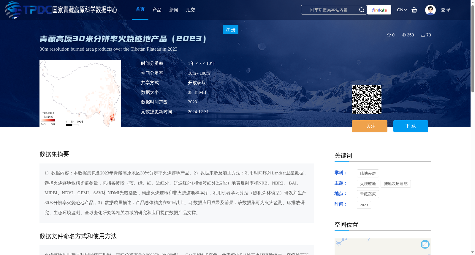
1)数据内容:本数据集包含2023年青藏高原地区30米分辨率火烧迹地产品。2)数据来源及加工方法:利用时间序列Landsat卫星数据,选择火烧迹地敏感光谱参量,包括各波段(蓝、绿、红、近红外、短波红外1和短波红外2波段)地表反射率和NRB、NBR2、 BAI、MIRBI、NDVI、GEMI、SAVI和NDMI光谱指数,构建火烧迹地和非火烧迹地样本库,利用机器学习算法(随机森林模型)研发并生产30米分辨率火烧迹地产品;3)数据质量描述:产品总体精度在90%以上。4) 数据应用成果及前景:该数据集可为火灾监测、碳排放研究、生态环境监测、全球变化研究等相关领域的研究和应用提供数据产品支撑。
1) Data Content: This dataset contains 30-meter resolution burned area products over the Qinghai-Tibet Plateau in 2023. 2) Data Source and Processing Method: Time-series Landsat satellite data were utilized, and spectral parameters sensitive to burned areas were selected, including surface reflectance of each band (blue, green, red, near-infrared, shortwave infrared 1 and shortwave infrared 2 bands) and spectral indices such as NRB, NBR2, BAI, MIRBI, NDVI, GEMI, SAVI and NDMI. A sample library of burned and non-burned areas was constructed, and a 30-meter resolution burned area product was developed and produced using a machine learning algorithm (Random Forest model). 3) Data Quality Description: The overall accuracy of the product exceeds 90%. 4) Data Application Achievements and Prospects: This dataset can provide data product support for research and applications in fields such as fire monitoring, carbon emission research, ecological environment monitoring and global change research.
提供机构:
张兆明
创建时间:
2024-12-26
搜集汇总
数据集介绍
背景与挑战
背景概述
该数据集是2023年青藏高原地区的30米分辨率火烧迹地产品,基于Landsat卫星数据,利用多种光谱参量和随机森林模型生成,总体精度超过90%。它适用于火灾监测、碳排放研究和生态环境监测等领域,以开放获取方式共享,数据大小为38.31 MB。
以上内容由遇见数据集搜集并总结生成


