青藏高原及周边地区高危险冰湖溃决洪水演进特征数据集
收藏国家青藏高原科学数据中心2024-03-22 更新2024-05-01 收录
下载链接:
https://data.tpdc.ac.cn/zh-hans/data/dee7b9b2-bc49-49b7-9b70-bfa4753ac75d
下载链接
链接失效反馈官方服务:
资源简介:
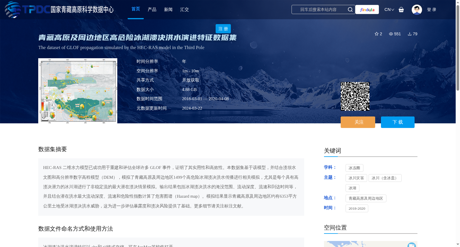
HEC-RAS 二维水力模型已成功用于重建和评估全球许多 GLOF 事件,证明了其实用性和高效性。本数据集基于该模型,并结合溃坝水文图和高分辨率数字高程模型(DEM),模拟了青藏高原及周边地区1499个高危险冰湖溃决洪水传播进行相关模拟,尤其是每个具有高溃决潜力的冰川湖进行了非稳定流的最大潜在溃决情景模拟。输出结果包括冰湖溃决洪水的淹没范围、流动深度、流速和到达时间等,并且结合潜在洪水最大流动深度、流速和危险性指数计算了危害图谱(Hazard map)。模拟结果显示青藏高原及周边地区约有6353平方公里土地受冰湖溃决洪水威胁,这为进一步评估暴露度和溃决风险提供了基础。更多细节请关注标注文献。
The HEC-RAS 2D hydraulic model has been successfully applied to reconstruct and assess numerous global GLOF events, demonstrating its practicality and efficiency. This dataset is developed based on this model, combined with dam-break hydrographs and high-resolution digital elevation models (DEM), to simulate the outburst flood propagation of 1,499 high-risk glacial lakes in the Qinghai-Tibet Plateau and its surrounding regions. Specifically, maximum potential outburst flood scenarios with unsteady flow were simulated for each glacial lake with high outburst potential. The output results include the inundation extent, flow depth, flow velocity, arrival time and other parameters of glacial lake outburst floods. Additionally, hazard maps were calculated by combining the maximum flow depth, flow velocity of potential floods and hazard indices. The simulation results show that approximately 6,353 square kilometers of land in the Qinghai-Tibet Plateau and its surrounding regions are threatened by glacial lake outburst floods, which provides a foundation for further assessment of exposure and outburst risk. For more details, please refer to the cited literature.
提供机构:
张太刚,王伟财,安宝晟
创建时间:
2024-03-07
搜集汇总
数据集介绍
背景与挑战
背景概述
该数据集基于HEC-RAS模型模拟了青藏高原及周边地区1499个高危险冰湖溃决洪水的演进特征,包括淹没范围、流动深度、流速和到达时间等,并生成了危害图谱。数据集覆盖2018-2020年,空间分辨率为1m-10m,数据大小为4.88 GB,可用于评估冰湖溃决洪水的暴露度和风险。
以上内容由遇见数据集搜集并总结生成


