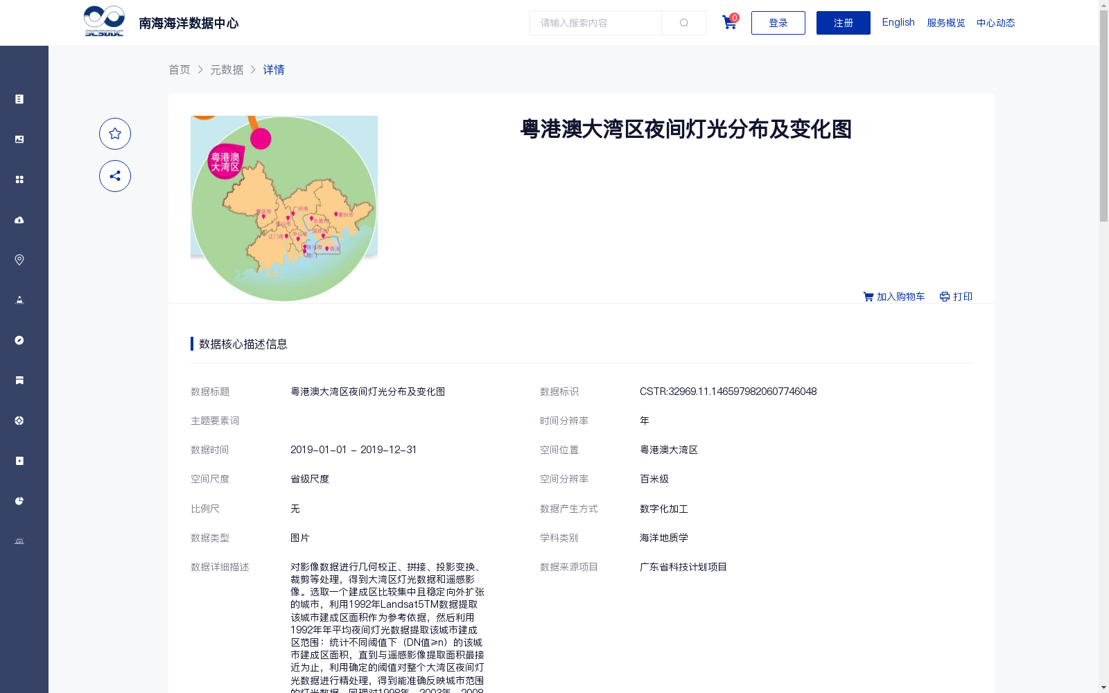
粤港澳大湾区夜间灯光分布及变化图
收藏南海海洋数据中心2024-03-01 收录
下载链接:
https://data.scsio.ac.cn/metaData-detail/1465979820607746048
下载链接
链接失效反馈官方服务:
资源简介:
对影像数据进行几何校正、拼接、投影变换、裁剪等处理,得到大湾区灯光数据和遥感影像。选取一个建成区比较集中且稳定向外扩张的城市,利用1992年Landsat5TM数据提取该城市建成区面积作为参考依据,然后利用1992年年平均夜间灯光数据提取该城市建成区范围:统计不同阈值下(DN值≥n)的该城市建成区面积,直到与遥感影像提取面积最接近为止,利用确定的阈值对整个大湾区夜间灯光数据进行精处理,得到能准确反映城市范围的灯光数据。同理对1998年、2003年、2008年和2013年年平均灯光数据进行处理,最终得到五个不同时期下的城市实际夜间灯光分布数据。这五期数据作为大湾区城市化发展变化的基础数据;利用2015年灯光数据提取大湾区城市建成区范围后,将数据分辨率重采样到810m,作为大湾区城市夜间灯光变化图中的第六张小图,而450m的数据则作为2015年现状图展示出来。
Image data was processed via geometric correction, mosaicking, projection transformation, clipping and other operations to obtain nighttime light data and remote sensing images of the Guangdong-Hong Kong-Macao Greater Bay Area (GBA). A city with concentrated built-up areas and stable outward expansion was selected. The built-up area of this city was extracted from the 1992 Landsat 5 TM data as the reference baseline. Subsequently, the built-up extent of the same city was extracted from the 1992 annual average nighttime light data. Specifically, the built-up area of the city under different thresholds (DN value ≥ n) was counted until the extracted area was closest to that obtained from remote sensing images. Then, the entire GBA nighttime light dataset was finely processed using the determined threshold to produce light data that accurately reflects urban extents. The same processing workflow was applied to the annual average light data for 1998, 2003, 2008 and 2013, ultimately yielding five sets of actual urban nighttime light distribution data corresponding to five distinct time periods. These five temporal datasets serve as foundational data for studying the urbanization development and changes in the GBA. After extracting the built-up extents of GBA cities from the 2015 light data, the dataset was resampled to a spatial resolution of 810m, which was used as the sixth small panel in the GBA urban nighttime light change map. Meanwhile, the 450m resolution dataset was presented as the 2015 status map.
提供机构:
广州海洋地质调查局
搜集汇总
数据集介绍
背景与挑战
背景概述
该数据集是粤港澳大湾区夜间灯光分布及变化图,覆盖2019年时间范围,空间分辨率为百米级,以图片形式呈现。它通过处理1992年至2015年的多期夜间灯光数据,提取城市建成区范围,用于分析大湾区城市化发展变化,数据来源于广东省科技计划项目,质量可靠,适用于海洋地质学等相关研究。
以上内容由遇见数据集搜集并总结生成


