淞沪会战1:25万相关战役经过图(1937年)
收藏国家地球系统科学数据中心2022-08-12 更新2024-03-04 收录
下载链接:
https://www.geodata.cn/data/datadetails.html?dataguid=93808188330518&docId=7222
下载链接
链接失效反馈官方服务:
资源简介:
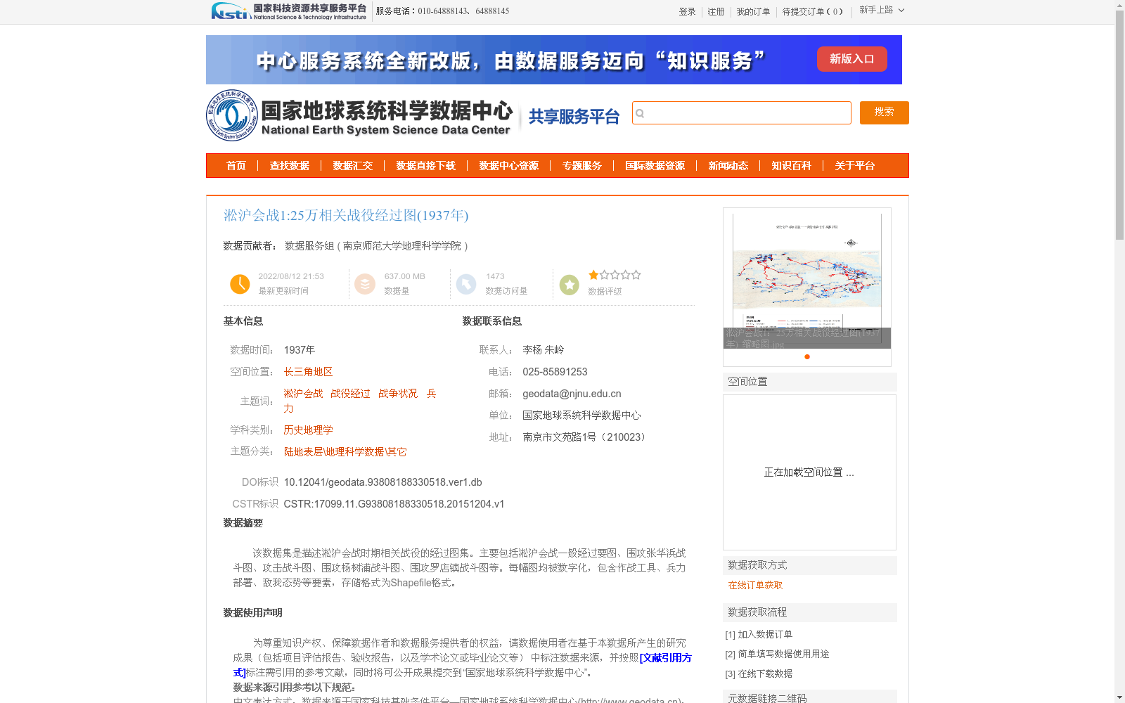
该数据集是描述淞沪会战时期相关战役的经过图集。主要包括淞沪会战一般经过要图、围攻张华浜战斗图、攻击战斗图、围攻杨树浦战斗图、围攻罗店镇战斗图等。每幅图均被数字化,包含作战工具、兵力部署、敌我态势等要素,存储格式为Shapefile格式。
This dataset is a collection of battle maps detailing the campaigns during the Battle of Shanghai. It mainly includes general overview maps of the Battle of Shanghai, battle maps for the siege of Zhanghuabang, attack battle maps, battle maps for the siege of Yangshupu, battle maps for the siege of Luodian Town, and other related maps. Each map has been digitized, containing elements such as combat equipment, troop deployment, and the situational overview of enemy and friendly forces, and is stored in the Shapefile format.
提供机构:
南京师范大学地理科学学院
创建时间:
2015-12-04
搜集汇总
数据集介绍
背景与挑战
背景概述
该数据集是1937年淞沪会战相关战役的数字化经过图集,以1:25万比例尺呈现,涵盖一般经过要图、围攻张华浜等具体战斗图,存储为Shapefile格式,包含作战工具、兵力部署、敌我态势等军事要素。数据集基于历史手绘示意图数字化而成,空间投影为WGS-84,适用于历史地理学和军事研究,但部分符号因原始图例有限可能存在不确定性,需进一步考证。
以上内容由遇见数据集搜集并总结生成


