长三角多源遥感数据库(2022年)
收藏国家地球系统科学数据中心2024-12-26 更新2024-12-29 收录
下载链接:
https://www.geodata.cn/data/datadetails.html?dataguid=263418861135737&docId=1946
下载链接
链接失效反馈官方服务:
资源简介:
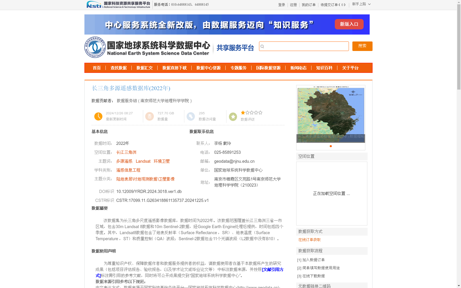
该数据集为长三角多尺度遥感影像数据库,数据时间为2022年。该数据范围覆盖长江三角洲三省一市区域,包含30m Landsat 8数据和10m Sentinel-2数据,经Google Earth Engine处理后提供,时间包括四个季度。其中,Landsat8数据包含了地表反射率(Surface Reflectance ,SR)、地表温度(Surface Temperature ,ST)和质量控制(QA)波段;Sentinel-2数据包含11个光谱波段(L2数据中没有B10)。
This is the multi-scale remote sensing image dataset of the Yangtze River Delta, with all data collected in 2022. The dataset covers the three provinces and one municipality directly under the Central Government of the Yangtze River Delta region, and includes 30-meter-resolution Landsat 8 data and 10-meter-resolution Sentinel-2 data. These data are processed and distributed via Google Earth Engine, with temporal coverage across four quarters. Specifically, the Landsat 8 data contains Surface Reflectance (SR), Surface Temperature (ST), and Quality Assessment (QA) bands; the Sentinel-2 data has 11 spectral bands, and B10 is not included in the L2 product.
提供机构:
南京师范大学地理科学学院
创建时间:
2024-12-25
搜集汇总
数据集介绍
背景与挑战
背景概述
该数据集是2022年长江三角洲地区的多源遥感影像数据库,覆盖三省一市区域,包含30米分辨率的Landsat 8数据和10米分辨率的Sentinel-2数据,时间涵盖四个季度,数据量达727.70 GB。数据经过Google Earth Engine处理,提供地表反射率、地表温度等关键波段,适用于遥感信息工程和环境监测研究,且要求用户在科学研究中规范引用数据来源。
以上内容由遇见数据集搜集并总结生成


