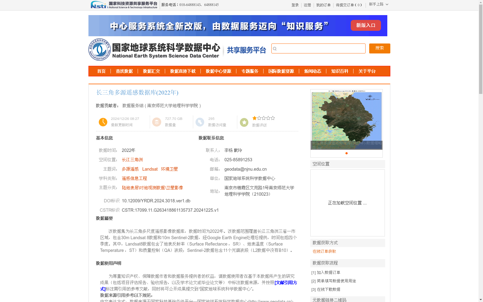
长三角多源遥感数据库(2022年)
收藏资源简介:
该数据集为长三角多尺度遥感影像数据库,数据时间为2022年。该数据范围覆盖长江三角洲三省一市区域,包含30m Landsat 8数据和10m Sentinel-2数据,经Google Earth Engine处理后提供,时间包括四个季度。其中,Landsat8数据包含了地表反射率(Surface Reflectance ,SR)、地表温度(Surface Temperature ,ST)和质量控制(QA)波段;Sentinel-2数据包含11个光谱波段(L2数据中没有B10)。
This is the multi-scale remote sensing image dataset of the Yangtze River Delta, with all data collected in 2022. The dataset covers the three provinces and one municipality directly under the Central Government of the Yangtze River Delta region, and includes 30-meter-resolution Landsat 8 data and 10-meter-resolution Sentinel-2 data. These data are processed and distributed via Google Earth Engine, with temporal coverage across four quarters. Specifically, the Landsat 8 data contains Surface Reflectance (SR), Surface Temperature (ST), and Quality Assessment (QA) bands; the Sentinel-2 data has 11 spectral bands, and B10 is not included in the L2 product.