wildfire-prediction
收藏资源简介:
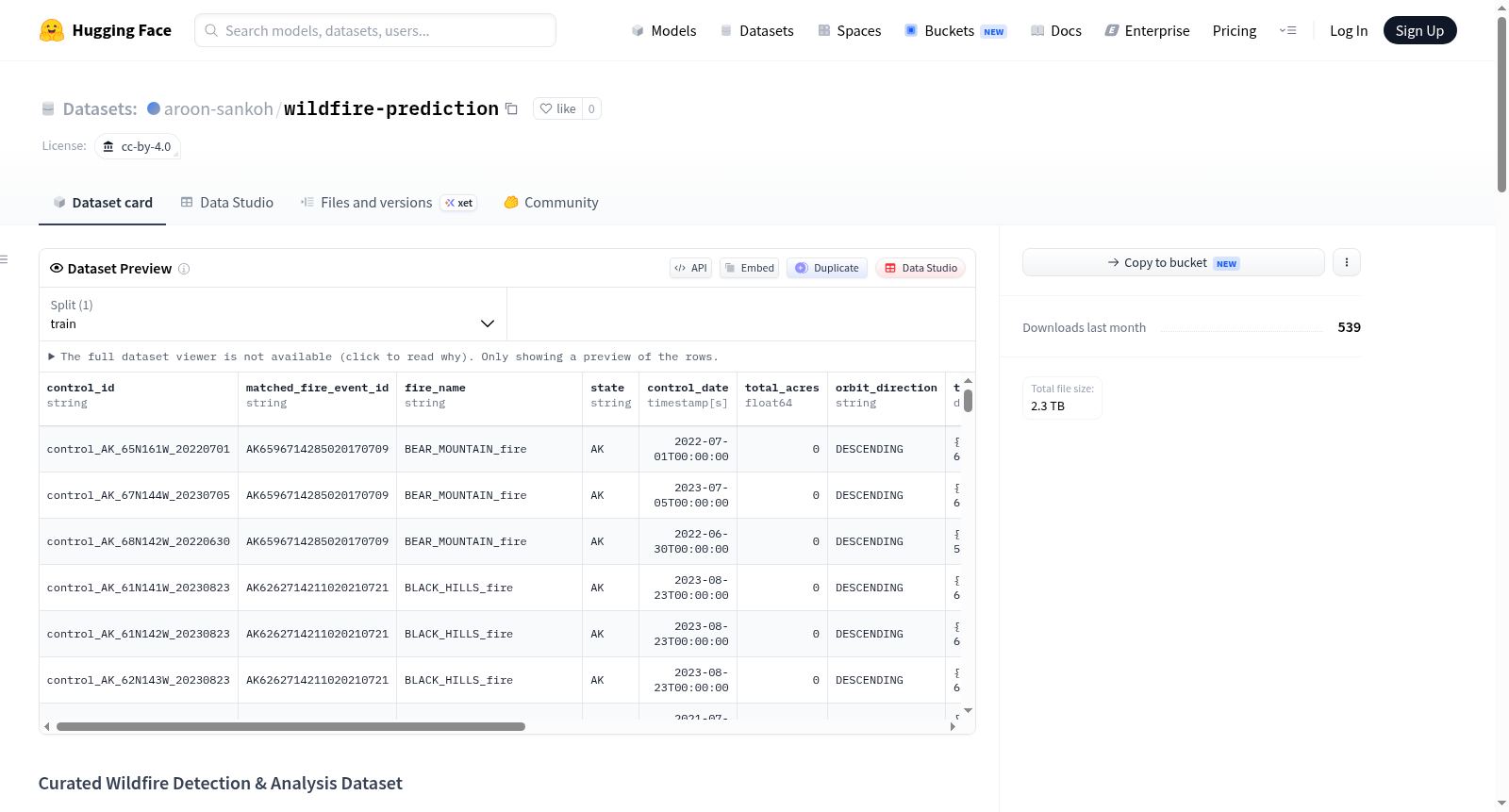
该数据集为野火检测与分析而构建,包含125个火灾场景和375个对照场景,每个场景由Sentinel-1雷达影像(前后各一)、Sentinel-2光学影像(前后各一)、ERA5再分析数据序列以及一个包含所有数据元数据的JSON文件组成。所有火灾的过火面积均超过1万英亩,火灾与对照场景按1:3比例配对,且对照场景与对应火灾位于同一EPA三级生态区。数据覆盖美国七个州(阿拉斯加、加利福尼亚、爱达荷、蒙大拿、内华达、俄勒冈、华盛顿),时间范围从2016年至今。数据集总大小约2.1TB,以场景为单位组织,目录结构为fires/{state}/{scene_id}/和controls/{state}/{scene_id}/,每个场景文件夹包含六个文件:四个SAFE格式的哨兵产品、一个ERA5的GRIB文件和一个metadata.json。元数据包含事件ID、MTBS后火灾ID、火灾名称、州、点火日期、总英亩数、至后火灾评估的天数、轨道方向、后火灾来源、同传感器前后影像时间间隔(天)、哨兵1与哨兵2前后影像时间差(小时)、空间边界、各数据源对火灾边界框的空间覆盖率以及文件列表。数据可用于多模态野火风险评估、燃烧严重度分析、遥感变化检测等任务。注意:该数据集未提供预定义的训练/验证/测试划分,用户需自行划分以避免空间泄漏。
This dataset is constructed for wildfire detection and analysis, containing 125 fire scenes and 375 control scenes. Each scene consists of Sentinel-1 radar imagery (one pre-fire and one post-fire), Sentinel-2 optical imagery (one pre-fire and one post-fire), an ERA5 reanalysis data sequence, and a JSON file containing metadata for all data. All fires have burned areas exceeding 10,000 acres, and fire scenes are paired with control scenes in a 1:3 ratio, with control scenes located in the same EPA Level III ecoregion as the corresponding fire. The data covers seven U.S. states (Alaska, California, Idaho, Montana, Nevada, Oregon, Washington), with a time range from 2016 to present. The total dataset size is approximately 2.1 TB, organized by scene with directory structures of fires/{state}/{scene_id}/ and controls/{state}/{scene_id}/. Each scene folder contains six files: four Sentinel products in SAFE format, one ERA5 GRIB file, and one metadata.json. Metadata includes event ID, MTBS post-fire ID, fire name, state, ignition date, total acres, days to post-fire assessment, orbit direction, post-fire source, time interval between pre- and post-fire images from the same sensor (days), time difference between Sentinel-1 and Sentinel-2 pre- and post-fire images (hours), spatial boundary, spatial coverage of each data source over the fire bounding box, and file list. The data can be used for multimodal wildfire risk assessment, burn severity analysis, remote sensing change detection, and other tasks. Note: This dataset does not provide predefined training/validation/test splits; users need to create their own splits to avoid spatial leakage.
数据集概述
基本信息
- 数据集名称:Curated Wildfire Detection & Analysis Dataset(精选野火检测与分析数据集)
- 许可协议:CC-BY-4.0
- 数据集总量:约 2.1 TB
数据规模与组织
- 包含 125 个野火场景和 375 个对照场景,共计 500 个场景。
- 每个野火场景配对 3 个对照场景,对照场景与野火场景位于相同的 EPA Level III 生态区。
- 数据覆盖美国 7 个州:阿拉斯加、加利福尼亚、爱达荷、蒙大拿、内华达、俄勒冈、华盛顿。
场景数据结构
每个场景文件夹中包含 6 个文件:
- Sentinel-1 火灾前影像(SAFE 格式)
- Sentinel-1 火灾后影像(SAFE 格式)
- Sentinel-2 火灾前影像(SAFE 格式)
- Sentinel-2 火灾后影像(SAFE 格式)
- ERA5 再分析数据文件(GRIB 格式)
- metadata.json 元数据文件,包含场景的详细描述信息
数据来源
| 数据类型 | 来源 | 分辨率/说明 |
|---|---|---|
| Sentinel-1 影像 | Copernicus 开放获取中心 | 合成孔径雷达(SAR),20米分辨率 |
| Sentinel-2 影像 | Copernicus 开放获取中心 | 高分辨率光学,10米分辨率 |
| ERA5 气象数据 | Copernicus 气候数据存储 | ECMWF 再分析数据 |
| MTBS 燃烧严重度数据 | USGS/USDA 联合项目 | 提供火灾引燃日期、面积及燃烧严重度作为真值 |
场景筛选约束
- 所有火灾总面积 > 10,000 英亩。
- 火灾与控制场景的引燃日期范围为 2016 年至今。
- Sentinel-1 火灾前后影像的轨道方向一致(同为升轨或同为降轨)。
- 同一传感器火灾前后影像的时间间隔不超过 180 天。
- Sentinel-1 与 Sentinel-2 影像获取时间差不超过 18 小时。
- 每个数据源的空间覆盖率至少占火灾边界框的 70%。
- ERA5 数据涵盖引燃日期前至少 30 天的再分析数据。
ERA5 气象变量
- 2米温度(t2m)
- 2米露点温度(d2m)
- 东向风速(u10)
- 北向风速(v10)
- 总降水量(tp)
元数据字段(metadata.json)
包含事件 ID(event_id、mtbs_post_id)、火灾名称、州、引燃日期、总面积、火灾后参考天数、轨道方向、火灾后来源、传感器时间间隔(S1_days、S2_days)、传感器时间差(小时)、空间边界、空间覆盖率及文件内容清单。
对照场景选择与验证
- 对照组从与火灾相同 EPA Level III 生态区中选取,确保植被、气候和地形条件可比。
- 通过 MTBS 记录交叉验证,确保对照场景在采集窗口期内未发生未被记录的火灾。
- 通过检查对照场景 Sentinel-2 前后影像的 NBR 差异,捕捉可能未被 MTBS 记录的小型火灾。
数据集局限性
- 仅覆盖美国西部/西北部 7 个州,不适用于其他火灾多发地区(如美国东南部、地中海、澳大利亚等)。
- 仅包含 >10,000 英亩的大型火灾,对小型火灾预测帮助有限。
- 火灾与对照比例为 1:3,属于人为设计的类别不平衡。
- 数据集未提供预定义的训练/验证/测试划分,用户需自行分区数据,建议按火灾事件和生态区划分以避免空间泄漏。
引用格式
bibtex @dataset{sankoh2026wildfire, author = {Sankoh, Aroon}, title = {Curated Wildfire Detection & Analysis Dataset}, year = {2026}, publisher = {Hugging Face}, url = {https://huggingface.co/datasets/aroon-sankoh/wildfire-prediction} }