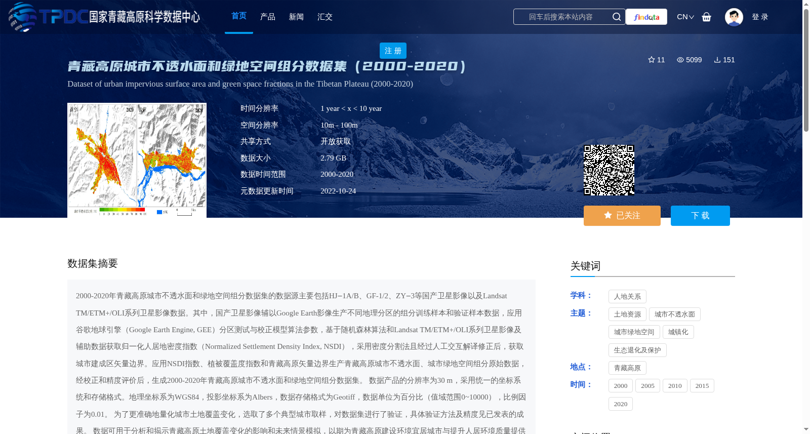
青藏高原城市不透水面和绿地空间组分数据集(2000-2020)
收藏资源简介:
2000-2020年青藏高原城市不透水面和绿地空间组分数据集的数据源主要包括HJ‒1A/B、GF-1/2、ZY‒3等国产卫星影像以及Landsat TM/ETM+/OLI系列卫星影像数据。其中,国产卫星影像辅以Google Earth影像生产不同地理分区的组分训练样本和验证样本数据,应用谷歌地球引擎(Google Earth Engine, GEE)分区测试与校正模型算法参数,基于随机森林算法和Landsat TM/ETM+/OLI系列卫星影像及辅助数据获取归一化人居地密度指数(Normalized Settlement Density Index, NSDI),采用密度分割法且经过人工交互解译修正后,获取城市建成区矢量边界。应用NSDI指数、植被覆盖度指数和青藏高原矢量边界生产青藏高原城市不透水面、城市绿地空间组分原始数据,经校正和精度评价后,生成2000-2020年青藏高原城市不透水面和绿地空间组分数据集。 数据产品的分辨率为30 m,采用统一的坐标系统和存储格式。地理坐标系为WGS84,投影坐标系为Albers,数据存储格式为Geotiff,数据单位为百分比(值域范围0~10000),比例因子为0.01。 为了更准确地量化城市土地覆盖变化,选取了多个典型城市取样,对数据集进行了验证,具体验证方法及精度见已发表的成果。 数据可用于分析和揭示青藏高原土地覆盖变化的影响和未来情景模拟,以期为青藏高原建设环境宜居城市与提升人居环境质量提供科学依据。
The data source of the 2000–2020 Qinghai-Tibet Plateau urban impervious surface and green space component dataset mainly includes domestic satellite imagery such as HJ-1A/B, GF-1/2, ZY-3, as well as Landsat TM/ETM+/OLI series satellite imagery data. Among them, domestic satellite imagery is supplemented with Google Earth imagery to produce training and validation sample data for components in different geographic zones. The Google Earth Engine (GEE) is applied to conduct zone-based testing and calibrate model algorithm parameters. Based on the Random Forest algorithm, Landsat TM/ETM+/OLI series satellite imagery and auxiliary data, the Normalized Settlement Density Index (NSDI) is derived. After adopting the density slicing method and correcting via manual interactive interpretation, the vector boundary of urban built-up areas is obtained. The original data of urban impervious surfaces and green space components on the Qinghai-Tibet Plateau are generated using the NSDI, vegetation coverage index and the vector boundary of the Qinghai-Tibet Plateau. After calibration and accuracy evaluation, the 2000–2020 Qinghai-Tibet Plateau urban impervious surface and green space component dataset is finalized. The spatial resolution of this data product is 30 m, with unified coordinate system and storage format. The geographic coordinate system is WGS84, the projected coordinate system is Albers, the data storage format is GeoTIFF, the data unit is percentage (value range: 0–10000), and the scale factor is 0.01. To more accurately quantify urban land cover changes, multiple typical urban sampling sites were selected to validate the dataset. Specific validation methods and accuracy metrics are detailed in the published literature. This dataset can be used to analyze and reveal the impacts of land cover changes on the Qinghai-Tibet Plateau and simulate future scenarios, aiming to provide scientific basis for building environmentally livable cities and improving the quality of human settlements on the Qinghai-Tibet Plateau.