
数据空间化处理落图
收藏青岛市公共数据运营平台2024-08-31 收录
官方服务:
资源简介:
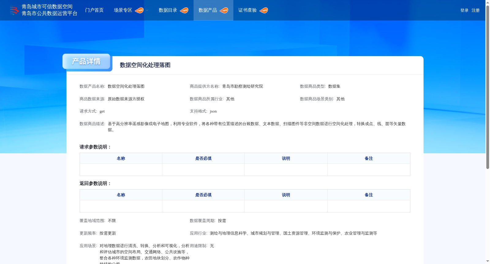
基于高分辨率遥感影像或电子地图,利用专业软件,将各种带有位置描述的台账数据、文本数据、扫描图件等非空间数据进行空间化处理,转换成点、线、面等矢量数据。
Based on high-resolution remote sensing images or electronic maps, professional software is utilized to perform spatialization processing on various non-spatial data such as ledger data, text data, and scanned maps with location descriptions, and convert these data into vector data in the forms of points, lines and polygons.
提供机构:
青岛市勘察测绘研究院搜集汇总
数据集介绍
背景与挑战
背景概述
该数据集由青岛市勘察测绘研究院提供,主要将非空间数据通过专业软件转换为矢量数据,广泛应用于测绘、城市规划、国土资源管理等多个行业,支持按需更新和定制化服务。
以上内容由遇见数据集搜集并总结生成


