全球逐日0.05°时空连续地表温度数据集(2002-2022)
收藏国家青藏高原科学数据中心2025-11-24 更新2024-03-07 收录
下载链接:
https://data.tpdc.ac.cn/zh-hans/data/b8c448ab-9c50-43fe-9b5d-2a5888658fe6
下载链接
链接失效反馈官方服务:
资源简介:
地表温度(Land Surface Temperature,LST)是地表能量平衡研究的关键参数,被广泛用于气象、气候、水文、农业和生态等领域研究。卫星(热红外)遥感作为获取全球和区域尺度LST信息的重要手段,容易受到云层覆盖和其他大气条件的影响,导致LST遥感产品时空不连续,极大限制了LST遥感产品在相关研究领域的应用。
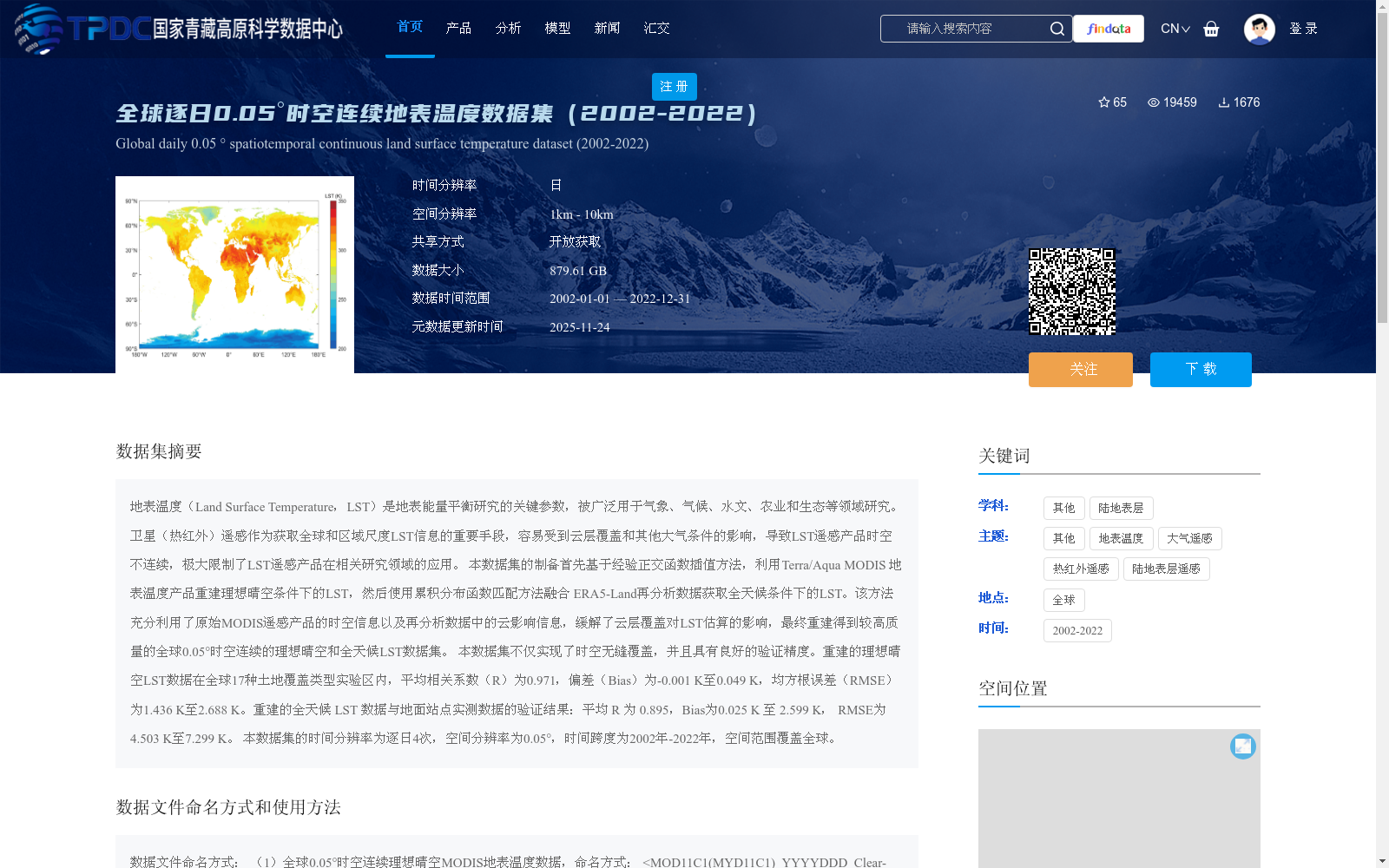
本数据集的制备首先基于经验正交函数插值方法,利用Terra/Aqua MODIS 地表温度产品重建理想晴空条件下的LST,然后使用累积分布函数匹配方法融合 ERA5-Land再分析数据获取全天候条件下的LST。该方法充分利用了原始MODIS遥感产品的时空信息以及再分析数据中的云影响信息,缓解了云层覆盖对LST估算的影响,最终重建得到较高质量的全球0.05°时空连续的理想晴空和全天候LST数据集。
本数据集不仅实现了时空无缝覆盖,并且具有良好的验证精度。重建的理想晴空LST数据在全球17种土地覆盖类型实验区内,平均相关系数(R)为0.971,偏差(Bias)为-0.001 K至0.049 K,均方根误差(RMSE)为1.436 K至2.688 K。重建的全天候 LST 数据与地面站点实测数据的验证结果:平均 R 为 0.895,Bias为0.025 K 至 2.599 K, RMSE为4.503 K至7.299 K。
本数据集的时间分辨率为逐日4次,空间分辨率为0.05°,时间跨度为2002年-2022年,空间范围覆盖全球。
Land Surface Temperature (LST) is a critical parameter for studies of land surface energy balance, and has been widely used in research fields such as meteorology, climatology, hydrology, agriculture and ecology. Satellite (thermal infrared) remote sensing, as an important means of acquiring LST information at global and regional scales, is easily affected by cloud cover and other atmospheric conditions, resulting in spatially and temporally discontinuous LST remote sensing products, which greatly limits the application of LST remote sensing products in relevant research fields.
The preparation of this dataset first adopts the Empirical Orthogonal Function (EOF) interpolation method to reconstruct LST under ideal clear-sky conditions using Terra/Aqua MODIS land surface temperature products, then uses the Cumulative Distribution Function (CDF) matching method to fuse ERA5-Land reanalysis data to obtain LST under all-weather conditions. This method makes full use of the spatio-temporal information of the original MODIS remote sensing products and the cloud impact information contained in the reanalysis data, alleviates the interference of cloud cover on LST estimation, and finally reconstructs a high-quality, globally continuous spatiotemporal LST dataset covering both ideal clear-sky and all-weather conditions with a spatial resolution of 0.05°.
This dataset not only achieves seamless spatio-temporal coverage, but also boasts excellent verification accuracy. For the reconstructed ideal clear-sky LST data in experimental areas across 17 global land cover types, the average correlation coefficient (R) is 0.971, with bias ranging from -0.001 K to 0.049 K and root mean square error (RMSE) ranging from 1.436 K to 2.688 K. For the reconstructed all-weather LST data, the verification results against in-situ ground station measurements show an average correlation coefficient (R) of 0.895, bias ranging from 0.025 K to 2.599 K, and RMSE ranging from 4.503 K to 7.299 K.
The temporal resolution of this dataset is 4 observations per day, the spatial resolution is 0.05°, the time span ranges from 2002 to 2022, and the spatial coverage covers the entire globe.
提供机构:
赵天杰,余沛
创建时间:
2021-08-16
搜集汇总
数据集介绍
背景与挑战
背景概述
该数据集是全球范围内2002-2022年的逐日地表温度数据,空间分辨率为0.05°,通过融合MODIS和ERA5-Land数据,提供了理想晴空和全天候条件下的高精度地表温度信息。数据集具有时空连续性和高精度验证结果,适用于多学科研究。
以上内容由遇见数据集搜集并总结生成


