长江干流两个GNSS-R站点小时水位(2021-2023年)
收藏国家地球系统科学数据中心2024-10-21 更新2024-10-26 收录
下载链接:
https://www.geodata.cn/data/datadetails.html?dataguid=17142426012727&docId=2330
下载链接
链接失效反馈官方服务:
资源简介:
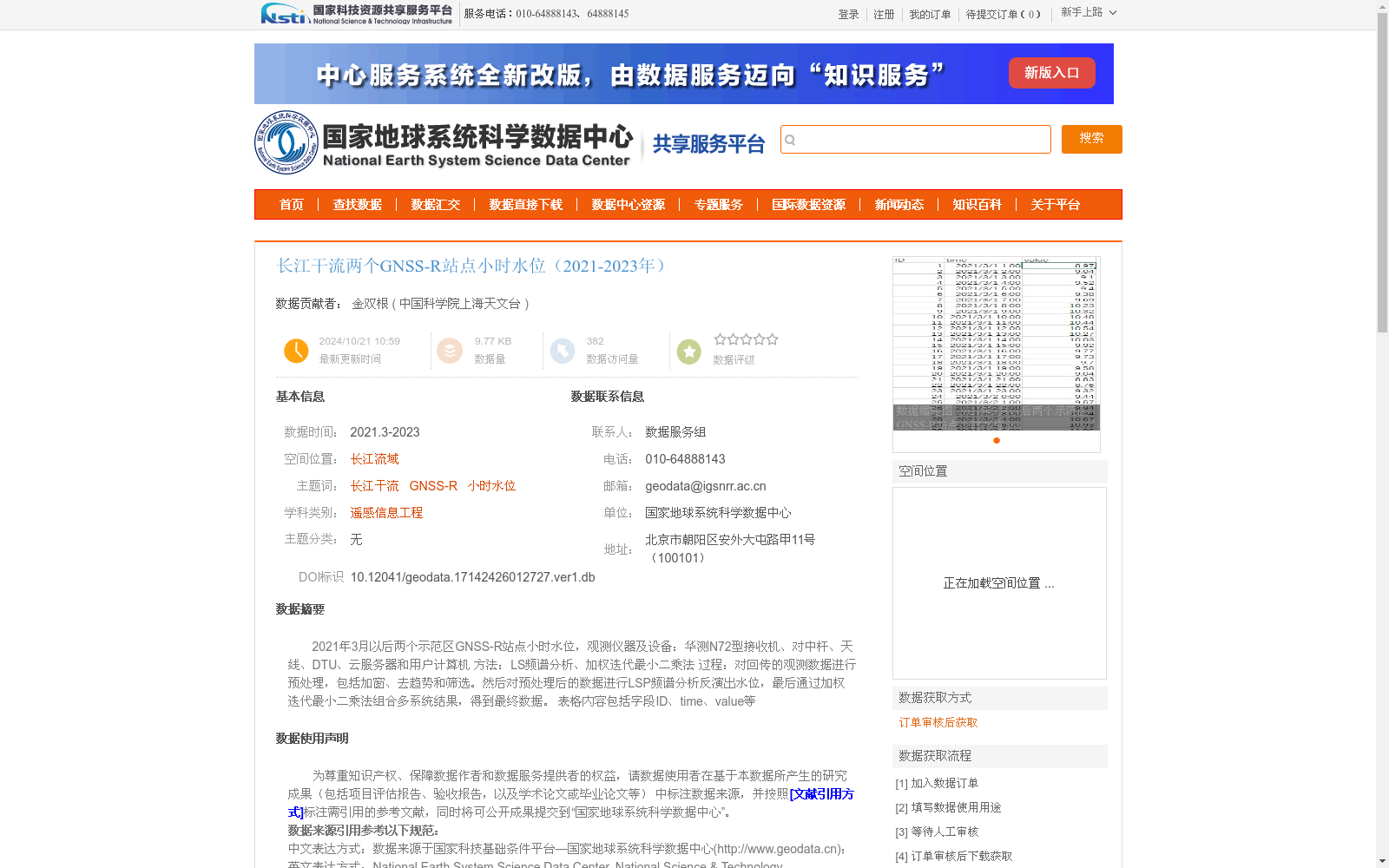
2021年3月以后两个示范区GNSS-R站点小时水位,观测仪器及设备:华测N72型接收机、对中杆、天线、DTU、云服务器和用户计算机
方法:LS频谱分析、加权迭代最小二乘法
过程:对回传的观测数据进行预处理,包括加窗、去趋势和筛选。然后对预处理后的数据进行LSP频谱分析反演出水位,最后通过加权迭代最小二乘法组合多系统结果,得到最终数据。
表格内容包括字段ID、time、value等
Hourly water level data from two demonstration zone GNSS-R stations after March 2021.
Observation instruments and equipment: Huace N72 receiver, centering rod, antenna, DTU, cloud server and user computer.
Methodology: LS spectrum analysis, weighted iterative least squares method.
Processing flow: Preprocess the returned observational data, including windowing, detrending and screening. Then conduct LSP spectrum analysis on the preprocessed data to retrieve water levels. Finally, fuse the multi-system results using the weighted iterative least squares method to obtain the final dataset.
The table includes fields such as ID, time, value and so on.
提供机构:
中国科学院上海天文台
创建时间:
2024-10-21
搜集汇总
数据集介绍
背景与挑战
背景概述
该数据集提供了2021年3月至2023年期间长江干流两个示范区的GNSS-R站点小时水位观测数据,数据量较小(9.77 KB),已累计访问382次。数据集基于GNSS反射测量技术,使用华测N72型接收机等设备,通过LS频谱分析和加权迭代最小二乘法进行数据处理,确保了数据的精度和可靠性,适用于遥感信息工程等领域的水文研究。
以上内容由遇见数据集搜集并总结生成


