全球300米分辨率欧空局陆地覆盖数据(1992-2015)
收藏国家青藏高原科学数据中心2021-04-20 更新2024-03-01 收录
下载链接:
https://data.tpdc.ac.cn/zh-hans/data/c205fc4f-4847-4a7d-bb04-7c60f27438ae
下载链接
链接失效反馈官方服务:
资源简介:
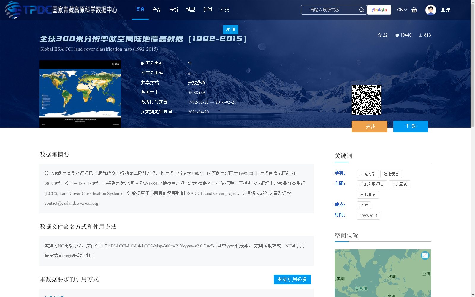
该土地覆盖类型产品是欧空局气候变化行动第二阶段产品,其空间分辨率为300米,时间覆盖范围为1992-2015. 空间覆盖范围纬向-90~90度,经向-180~180度,坐标系统为地理坐标WGS84.土地覆盖产品该地表覆盖的分类依据联合国粮食农业组织土地覆盖分类系统(LCCS, Land Cover Classification System)。
该数据用于科研目的需要致谢ESA CCI Land Cover project,并且将发表的文章发送给contact@esalandcover-cci.org
This land cover product is the Phase 2 product of the European Space Agency (ESA) Climate Change Initiative (CCI). It has a spatial resolution of 300 meters, with temporal coverage spanning from 1992 to 2015. Its spatial coverage ranges from -90° to 90° in latitude and -180° to 180° in longitude, and the adopted coordinate system is the WGS84 geographic coordinate system. The classification of this land cover product follows the Land Cover Classification System (LCCS) developed by the Food and Agriculture Organization (FAO) of the United Nations.
For scientific research use of this dataset, acknowledgement to the ESA CCI Land Cover project is required, and any published articles based on this data should be sent to contact@esalandcover-cci.org.
提供机构:
徐希燕
创建时间:
2018-04-01
搜集汇总
数据集介绍
背景与挑战
背景概述
该数据集是欧空局(ESA)发布的全球陆地覆盖分类产品,空间分辨率为300米,覆盖1992年至2015年的年度数据,采用联合国粮农组织的土地覆盖分类系统(LCCS),适用于全球范围的土地利用和覆盖变化研究。数据以NC格式存储,开放获取,但要求用户在科研使用时进行引用和致谢。
以上内容由遇见数据集搜集并总结生成


