1901-2024年中国1km分辨率逐月降水量数据集
收藏国家地球系统科学数据中心2025-07-07 更新2024-04-21 收录
下载链接:
https://www.geodata.cn/data/datadetails.html?dataguid=192891852410344&docId=1106
下载链接
链接失效反馈官方服务:
资源简介:
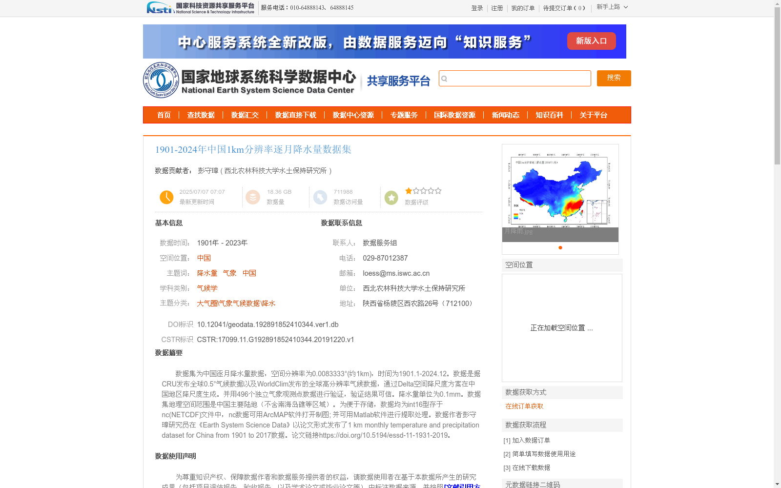
数据集为中国逐月降水量数据,空间分辨率为0.0083333°(约1km),时间为1901.1-2024.12。数据是据CRU发布全球0.5°气候数据以及WorldClim发布的全球高分辨率气候数据,通过Delta空间降尺度方案在中国地区降尺度生成。并用496个独立气象观测点数据进行验证,验证结果可信。降水量单位为0.1mm。数据集地理空间范围是中国主要陆地(不含南海岛礁等区域)。为便于存储,数据均为int16型存于nc(NETCDF)文件中,nc数据可用ArcMAP软件打开制图; 并可用Matlab软件进行提取处理。数据作者彭守璋研究员在《Earth System Science Data》以论文形式发布了1 km monthly temperature and precipitation dataset for China from 1901 to 2017数据。论文链接https://doi.org/10.5194/essd-11-1931-2019。
This dataset contains monthly precipitation data over China, with a spatial resolution of 0.0083333° (approximately 1 km) and a temporal coverage from January 1901 to December 2024. It was generated via the Delta spatial downscaling scheme using the global 0.5° climate data released by CRU and the global high-resolution climate data published by WorldClim for the Chinese mainland. The dataset was validated against observations from 496 independent meteorological stations, and the validation results confirm its reliability. The unit of precipitation is 0.1 mm. The geographical coverage of the dataset includes the main terrestrial areas of China, excluding regions such as the South China Sea islands and reefs. For efficient storage, all data are stored as int16 type in NETCDF (nc) files. The nc-format data can be opened and used for cartography with ArcMAP software, and can also be extracted and processed using Matlab software. The author of this dataset, Researcher Peng Shouzhang, published a paper titled *1 km monthly temperature and precipitation dataset for China from 1901 to 2017* in the journal *Earth System Science Data*, with the paper's DOI link: https://doi.org/10.5194/essd-11-1931-2019.
提供机构:
西北农林科技大学水土保持研究所
创建时间:
2019-12-20
搜集汇总
数据集介绍
背景与挑战
背景概述
该数据集是中国地区1901年至2023年(实际数据延伸至2024年12月)的逐月降水量数据,空间分辨率高达约1公里,基于CRU全球0.5°气候数据和WorldClim高分辨率数据通过Delta空间降尺度方案生成,并利用496个独立气象观测点验证,确保数据可靠性。数据以NETCDF格式存储,适用于气候学、气象等领域的长期降水分析,覆盖中国主要陆地区域,为高精度气候研究提供重要支撑。
以上内容由遇见数据集搜集并总结生成


