five

ecnu-icalk/educhat-sft-002-data-osm|对话系统数据集|自然语言处理数据集

收藏
hugging_face2023-07-01 更新2024-03-04 收录
对话系统
自然语言处理
下载链接:
https://hf-mirror.com/datasets/ecnu-icalk/educhat-sft-002-data-osm
下载链接
链接失效反馈
资源简介:
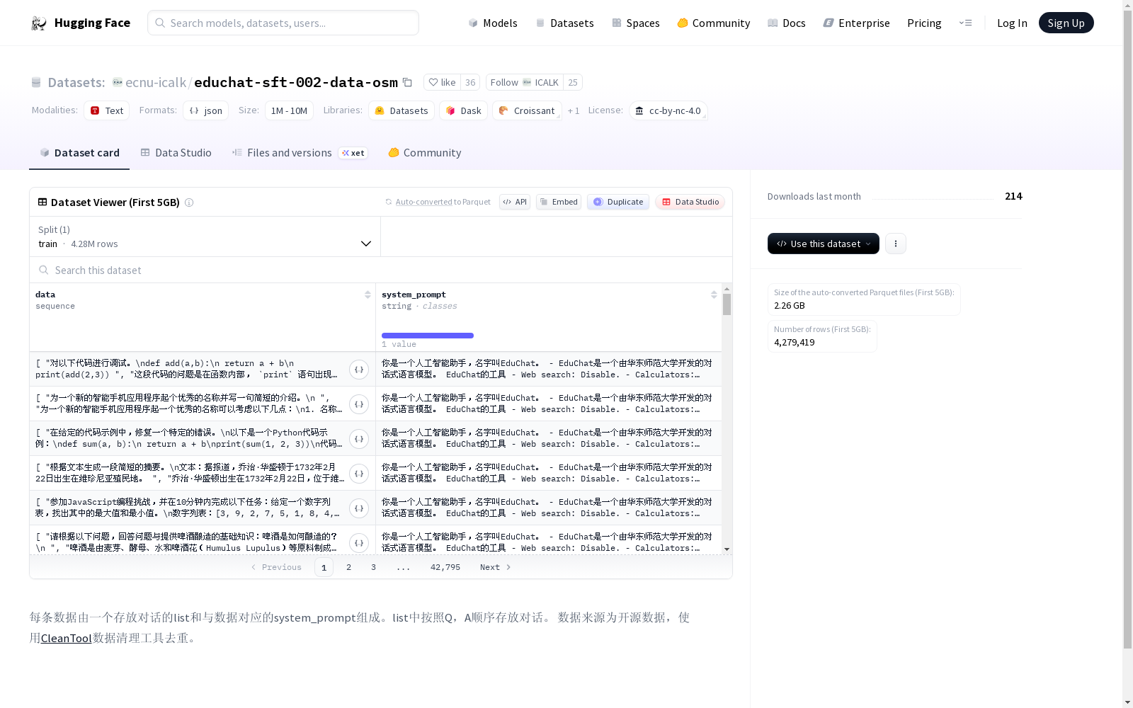
每条数据由一个存放对话的列表和与数据对应的system_prompt组成。列表中按照问题(Q)和回答(A)的顺序存放对话。数据来源于开源数据,并使用CleanTool数据清理工具进行去重处理。
提供机构:
ecnu-icalk
原始信息汇总

数据集概述

数据结构

  • 每条数据包含一个存放对话的list和一个对应的system_prompt。
  • list中的对话按照Q(问题)和A(回答)的顺序排列。

数据来源与处理

  • 数据来源于开源数据。
  • 使用CleanTool工具进行数据去重处理。

许可证

  • 数据集遵循CC-BY-NC-4.0许可证。
用户留言
有没有相关的论文或文献参考?
这个数据集是基于什么背景创建的?
数据集的作者是谁?
能帮我联系到这个数据集的作者吗?
这个数据集如何下载?
点击留言
数据主题
具身智能
数据集  4098个
机构  8个
大模型
数据集  439个
机构  10个
无人机
数据集  37个
机构  6个
指令微调
数据集  36个
机构  6个
蛋白质结构
数据集  50个
机构  8个
空间智能
数据集  21个
机构  5个
5,000+
优质数据集
54 个
任务类型
进入经典数据集
热门数据集

Tropicos

Tropicos是一个全球植物名称数据库,包含超过130万种植物的名称、分类信息、分布数据、图像和参考文献。该数据库由密苏里植物园维护,旨在为植物学家、生态学家和相关领域的研究人员提供全面的植物信息。

www.tropicos.org 收录

马达加斯加岛 – 世界地理数据大百科辞条

马达加斯加岛在非洲的东南部,位于11o56′59″S - 25o36′25″S及43o11′18″E - 50o29′36″E之间。通过莫桑比克海峡与位于非洲大陆的莫桑比克相望,最近距离为415千米。临近的岛屿分别为西北部的科摩罗群岛、北部的塞舌尔群岛、东部的毛里求斯岛和留尼汪岛等。在google earth 2015年遥感影像基础上研发的马达加斯加海岸线数据集表明,马达加斯加岛面积591,128.68平方千米,其中马达加斯加本岛面积589,015.06平方千米,周边小岛面积为2,113.62平方千米。马达加斯加本岛是非洲第一大岛,是仅次于格陵兰、新几内亚岛和加里曼丹岛的世界第四大岛屿。岛的形状呈南北走向狭长纺锤形,南北向长1,572千米;南北窄,中部宽,最宽处达574千米。海岸线总长16,309.27千米, 其中马达加斯加本岛海岸线长10,899.03千米,周边小岛海岸线长5,410.24千米。马达加斯加岛属于马达加斯加共和国。全国共划分22个区,119个县。22个区分别为:阿那拉芒加区,第亚那区,上马齐亚特拉区,博爱尼区,阿齐那那那区,阿齐莫-安德列发那区,萨瓦区,伊达西区,法基南卡拉塔区,邦古拉法区,索非亚区,贝齐博卡区,梅拉基区,阿拉奥特拉-曼古罗区,阿那拉兰基罗富区,阿莫罗尼马尼亚区,法土法韦-非图韦那尼区,阿齐莫-阿齐那那那区,伊霍罗贝区,美那贝区,安德罗伊区和阿诺西区。首都安塔那那利佛(Antananarivo)位于岛屿的中东部。马达加斯加岛是由火山及喀斯特地貌为主。贯穿海岛的是巨大火山岩山体-察腊塔纳山,其主峰马鲁穆库特鲁山(Maromokotro)海拔2,876米,是全国最高峰。马达加斯加自然景观垂直地带性分异显著,是热带雨林和热带草原广布的地区。岛上大约有20多万种动植物,其中包括马达加斯加特有物种狐猴(Lemur catta)、马达加斯加国树猴面包树(Adansonia digitata L.)等。

国家对地观测科学数据中心 收录

Apple Stock Price Data

Historical stock price data for AAPL (apple)

kaggle 收录

CE-CSL

CE-CSL数据集是由哈尔滨工程大学智能科学与工程学院创建的中文连续手语数据集,旨在解决现有数据集在复杂环境下的局限性。该数据集包含5,988个从日常生活场景中收集的连续手语视频片段,涵盖超过70种不同的复杂背景,确保了数据集的代表性和泛化能力。数据集的创建过程严格遵循实际应用导向,通过收集大量真实场景下的手语视频材料,覆盖了广泛的情境变化和环境复杂性。CE-CSL数据集主要应用于连续手语识别领域,旨在提高手语识别技术在复杂环境中的准确性和效率,促进聋人与听人社区之间的无障碍沟通。

arXiv 收录

Infrared Thermal Image Dataset of High Voltage Electrical Power Equipment under Different Operating Conditions

Recognizing high voltage power equipment in electrical substations is the fundamental platform for effective condition monitoring of electrical power system. It enables proper identification and analysis of anomalies within the equipment, especially when in operation. The result such investigation can be applied for effective real-time measurement, control and protection schemes in the network. The use of visual images for this purpose would be limited during poor lighting conditions. However, Infrared (IR) images of the equipment are invariant to poor illumination condition. Hence, we have acquired the thermographic images of the high voltage power equipment using the portable professional FLIR C5 Infrared camera at different times of the day and load conditions. The dataset contains 5 categories of high voltages equipment common to most air-insulated electrical power substation at 132kV level, namely: circuit breakers, power transformers, surge arresters, disconnectors, and wave traps. The number of IR images for each class of equipment are: circuit breakers 203, power transformers 178, surge arresters 181, disconnectors 180, and wave traps 153. The IR images are 640 x 480 pixel RGB images captured using the rainbow color palette and properly segmented in labeled folders. The color bar in each IR image identifies the thermal range used during its acquisition. The dataset can be used for implementing novel research in computer vision based deep learning models, especially in object recognition, identification, fault classification or detection algorithms. The thermal profile of the equipment in the dataset could be applied for detection of hotspots and other related anomalies.

DataCite Commons 收录