青藏高原逐年1KM生态风险评估空间分布数据集(2000-2020)
收藏国家青藏高原科学数据中心2025-02-19 更新2025-03-22 收录
下载链接:
https://data.tpdc.ac.cn/zh-hans/data/75c547fd-b269-4aeb-956a-0adadcb25210
下载链接
链接失效反馈官方服务:
资源简介:
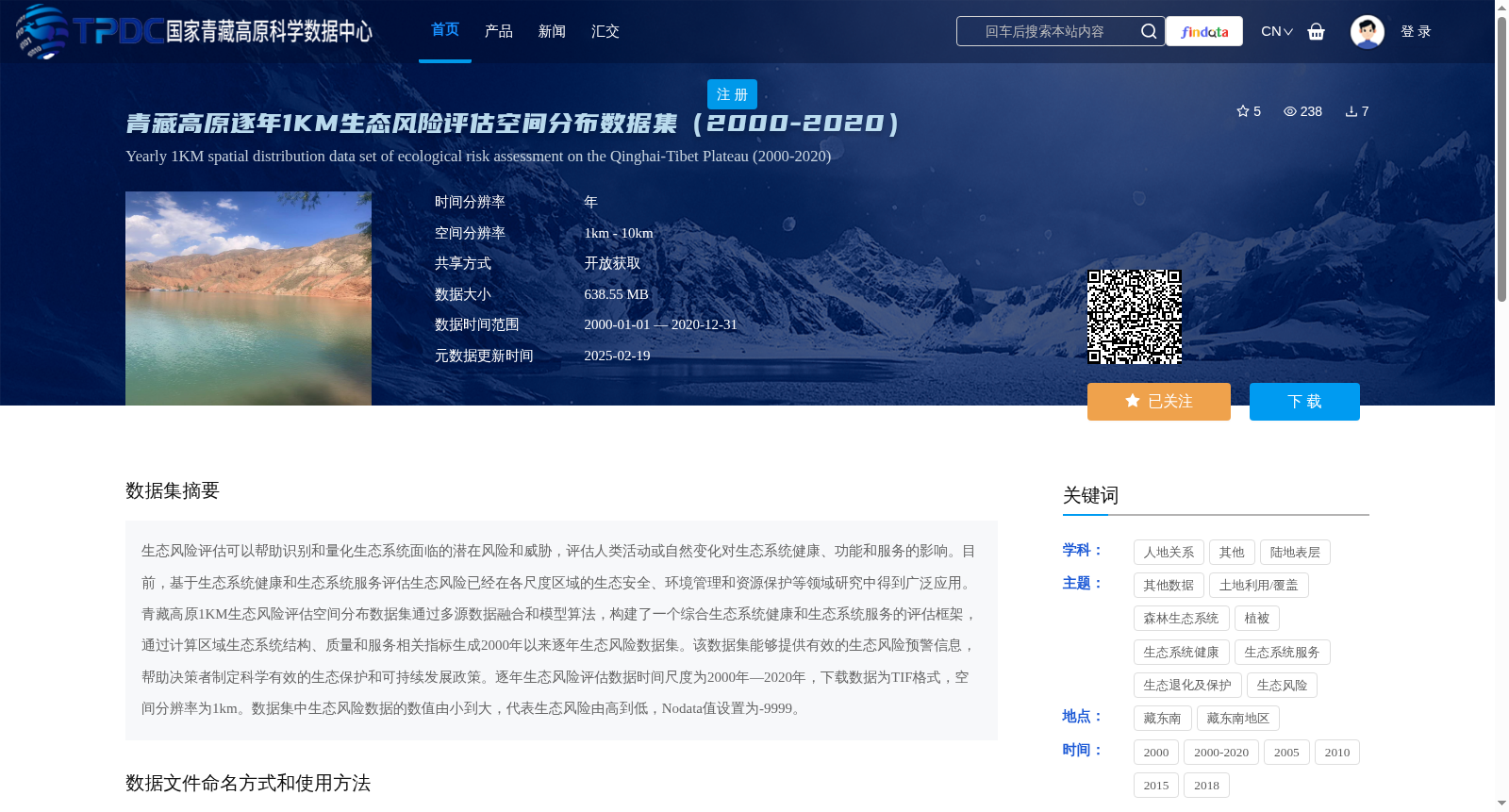
生态风险评估可以帮助识别和量化生态系统面临的潜在风险和威胁,评估人类活动或自然变化对生态系统健康、功能和服务的影响。目前,基于生态系统健康和生态系统服务评估生态风险已经在各尺度区域的生态安全、环境管理和资源保护等领域研究中得到广泛应用。青藏高原1KM生态风险评估空间分布数据集通过多源数据融合和模型算法,构建了一个综合生态系统健康和生态系统服务的评估框架,通过计算区域生态系统结构、质量和服务相关指标生成2000年以来逐年生态风险数据集。该数据集能够提供有效的生态风险预警信息,帮助决策者制定科学有效的生态保护和可持续发展政策。逐年生态风险评估数据时间尺度为2000年—2020年,下载数据为TIF格式,空间分辨率为1km。数据集中生态风险数据的数值由小到大,代表生态风险由高到低,Nodata值设置为-9999。
Ecological risk assessment (ERA) enables the identification and quantification of potential risks and threats to ecosystems, as well as the evaluation of impacts from human activities or natural changes on ecosystem health, functions and services. At present, ERA based on ecosystem health and ecosystem services has been widely applied in research across fields such as ecological security, environmental management and resource conservation at various regional scales. The 1 km spatial distribution dataset of ecological risk assessment for the Qinghai-Tibet Plateau constructs a comprehensive assessment framework integrating ecosystem health and ecosystem services via multi-source data fusion and model algorithms, and generates annual ecological risk datasets since 2000 by calculating indicators related to regional ecosystem structure, quality and services. This dataset can provide effective ecological risk early warning information, helping decision-makers formulate scientifically sound ecological conservation and sustainable development policies. The annual ecological risk assessment data spans from 2000 to 2020, with the downloadable data available in TIF format and a spatial resolution of 1 km. In the dataset, smaller values of ecological risk data correspond to higher ecological risk levels, while larger values correspond to lower levels, and the NoData value is set to -9999.
提供机构:
王浩
创建时间:
2025-02-15
搜集汇总
数据集介绍
背景与挑战
背景概述
该数据集为青藏高原2000-2020年逐年生态风险空间分布数据,基于生态系统健康和服务的评估框架生成,空间分辨率为1公里,用于风险预警和政策支持。数据以TIF格式提供,数值越小表示生态风险越高,覆盖范围东至105°、西至73°、南至26°、北至40°。
以上内容由遇见数据集搜集并总结生成


