有没有相关的论文或文献参考?
这个数据集是基于什么背景创建的?
数据集的作者是谁?
能帮我联系到这个数据集的作者吗?
这个数据集如何下载?
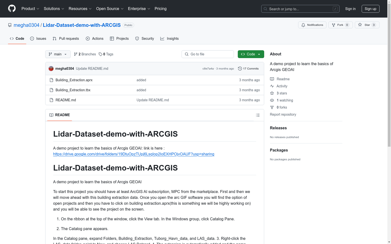
该数据集是一个演示项目,旨在学习Arcgis GEOAI的基础知识。数据集包括建筑提取数据和Tuborg Havn地区的激光雷达数据。
建筑提取数据:
激光雷达数据:
打开项目:
加载激光雷达数据:
探索激光雷达数据:
处理地面点:
Natural Scene Braille Character Recognition Dataset
There are a total of 1157 Braille segment images in this dataset, including 925 in the training set and 232 in the testing set. There are two folders in the directory of this dataset: character_label and segment_label. The character_rabel file contains three formats of Braille segment images: (1) Braille segment images and label files stored in ICDAR-2015 format, each. jpg file corresponds to a. txt file, where each line stores the position and recognition label of a braille character rectangle box. The data corresponds to the coordinates of the four points in the rectangle box and the recognized numerical label; (2) The original format of the data is stored in the folder org. Each .jpg file in this folder corresponds to a .json file which marked by labelme software; (3) VOC format, stored in voc-data folder. This folder stores images and corresponding .xml files in VOC format, and marks the position of each braille character rectangle box and its corresponding numerical label information in the .xml file. In addition, the original Braille images of natural scenes and the corresponding Braille segment markings .json files are stored in the folder segment_label.
DataCite Commons 收录
HazyDet
HazyDet是由解放军工程大学等机构创建的一个大规模数据集,专门用于雾霾场景下的无人机视角物体检测。该数据集包含383,000个真实世界实例,收集自自然雾霾环境和正常场景中人工添加的雾霾效果,以模拟恶劣天气条件。数据集的创建过程结合了深度估计和大气散射模型,确保了数据的真实性和多样性。HazyDet主要应用于无人机在恶劣天气条件下的物体检测,旨在提高无人机在复杂环境中的感知能力。
arXiv 收录
Figshare
Figshare是一个在线数据共享平台,允许研究人员上传和共享各种类型的研究成果,包括数据集、论文、图像、视频等。它旨在促进科学研究的开放性和可重复性。
figshare.com 收录
Breast Cancer Dataset
该项目专注于清理和转换一个乳腺癌数据集,该数据集最初由卢布尔雅那大学医学中心肿瘤研究所获得。目标是通过应用各种数据转换技术(如分类、编码和二值化)来创建一个可以由数据科学团队用于未来分析的精炼数据集。
github 收录
Yahoo Finance
Dataset About finance related to stock market
kaggle 收录