30米分辨率全球一张图(1985)
收藏资源简介:
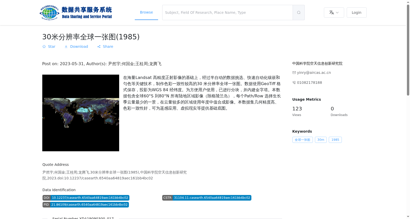
在海量Landsat 高精度正射影像的基础上,经过半自动的数据挑选、快速自动化镶嵌和匀色等关键技术,制作色彩一致性较高的30 米分辨率全球一张图。数据使用GeoTiff 格式保存,投影为WGS 84 经纬度。为方便用户使用,已进行分块,并内建金字塔。本数据包含全球60°S 到80°N 所有陆地区域影像(除格陵兰岛),每个Path/Row 选择生长季云量最少的一景,在云量较多的区域使用年度中值合成影像。本数据集几何精度高、色彩一致性好,可为遥感应用、虚拟现实等提供基础底图。
Based on a large collection of high-precision orthorectified Landsat imagery, core technologies including semi-automatic data screening, fast automated mosaicking and color balancing were applied to produce a global single mosaic with high color consistency at 30-meter resolution. The data is stored in GeoTIFF format, with the projection defined as WGS 84 geographic coordinates. To facilitate user access, the dataset has been tiled and equipped with built-in overviews. This dataset covers all terrestrial regions globally between 60°S and 80°N, excluding Greenland. For each Path/Row, the scene with the least cloud cover during the growing season is selected; for regions with frequent heavy cloud cover, annual median composite images are utilized instead. Featuring high geometric accuracy and excellent color consistency, this dataset can serve as a foundational base map for remote sensing applications, virtual reality and other related fields.