青藏高原水鸟关键迁徙栖息地分布图(2021-2024)
收藏国家青藏高原科学数据中心2025-05-19 更新2025-05-31 收录
下载链接:
https://data.tpdc.ac.cn/zh-hans/data/cbd7ad0f-f455-4661-8cfb-8f408d7202d3
下载链接
链接失效反馈官方服务:
资源简介:
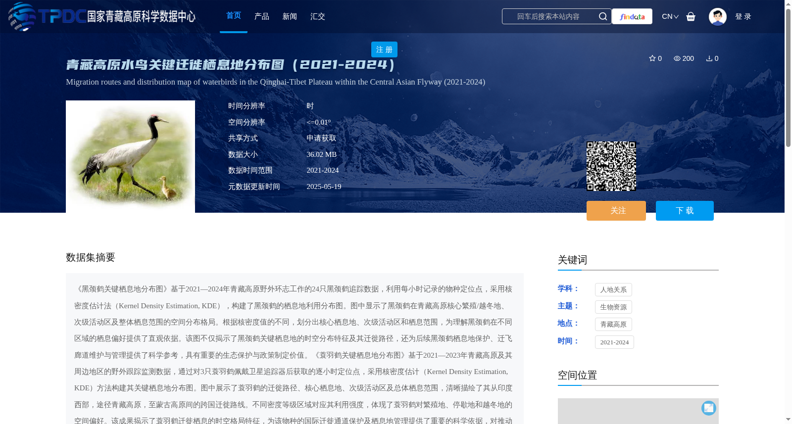
《黑颈鹤关键栖息地分布图》基于2021—2024年青藏高原野外环志工作的24只黑颈鹤追踪数据,利用每小时记录的物种定位点,采用核密度估计法(Kernel Density Estimation, KDE),构建了黑颈鹤的栖息地利用分布图。图中显示了黑颈鹤在青藏高原核心繁殖/越冬地、次级活动区及整体栖息范围的空间分布格局。根据核密度值的不同,划分出核心栖息地、次级活动区和栖息范围,为理解黑颈鹤在不同区域的栖息偏好提供了直观依据。该图不仅揭示了黑颈鹤关键栖息地的时空分布特征及其迁徙路径,还为后续黑颈鹤栖息地保护、迁飞廊道维护与管理提供了科学参考,具有重要的生态保护与政策制定价值。《蓑羽鹤关键栖息地分布图》基于2021—2023年青藏高原及其周边地区的野外跟踪监测数据,通过对3只蓑羽鹤佩戴卫星追踪器后获取的逐小时定位点,采用核密度估计(Kernel Density Estimation, KDE)方法构建其关键栖息地分布图。图中展示了蓑羽鹤的迁徙路径、核心栖息地、次级活动区及总体栖息范围,清晰描绘了其从印度西部,途径青藏高原,至蒙古高原间的跨国迁徙路线。不同密度等级区域对应其利用强度,体现了蓑羽鹤对繁殖地、停歇地和越冬地的空间偏好。该成果揭示了蓑羽鹤迁徙栖息的时空格局特征,为该物种的国际迁徙通道保护及栖息地管理提供了重要的科学依据,对推动跨国生态保护合作具有积极意义。
"Key Habitat Distribution Map of Black-necked Cranes" is developed using tracking data from 24 black-necked cranes collected during field ringing operations on the Qinghai-Tibet Plateau between 2021 and 2024. Utilizing hourly recorded location points of the species and adopting the Kernel Density Estimation (KDE) method, this map establishes the habitat utilization distribution of black-necked cranes. It illustrates the spatial distribution pattern of black-necked cranes across their core breeding/wintering grounds, secondary activity zones, and overall habitat range on the Qinghai-Tibet Plateau. Classified into core habitat, secondary activity zone, and overall habitat range based on varying kernel density values, the map offers an intuitive reference for comprehending the habitat preferences of black-necked cranes across different regions. This map not only reveals the spatio-temporal distribution characteristics of key habitats and migration routes of black-necked cranes, but also provides scientific references for subsequent habitat conservation, migration corridor maintenance and management of this species, holding significant value for ecological conservation and policy formulation.
"Key Habitat Distribution Map of Demoiselle Cranes" is developed using field tracking and monitoring data collected from the Qinghai-Tibet Plateau and its surrounding regions between 2021 and 2023. Hourly location points were acquired by attaching satellite trackers to 3 demoiselle cranes, and the key habitat distribution map was constructed via the Kernel Density Estimation (KDE) method. The map displays the migration routes, core habitats, secondary activity zones and overall habitat range of demoiselle cranes, clearly delineating their transnational migration corridor from western India, through the Qinghai-Tibet Plateau, to the Mongolian Plateau. Areas with different density tiers correspond to their utilization intensity, reflecting the spatial preferences of demoiselle cranes for breeding grounds, stopover sites and wintering grounds. This work reveals the spatio-temporal pattern characteristics of demoiselle cranes' migration and habitat utilization, providing critical scientific basis for the protection of international migration corridors and habitat management of this species, and carries positive implications for promoting transnational ecological conservation cooperation.
提供机构:
王文娟
创建时间:
2025-04-14
搜集汇总
数据集介绍
背景与挑战
背景概述
该数据集基于2021-2024年青藏高原黑颈鹤和蓑羽鹤的卫星追踪数据,采用核密度估计法生成了水鸟关键迁徙栖息地分布图,包括核心栖息地、次级活动区和总体栖息范围,空间分辨率≤0.01°。它揭示了水鸟在青藏高原及跨国迁徙路径中的时空分布特征,为物种保护、迁飞廊道管理和生态政策制定提供了科学依据。
以上内容由遇见数据集搜集并总结生成


