青藏高原活动断裂与地震分布图(1:100万)(公元前280年-公元2024年)
收藏国家青藏高原科学数据中心2025-02-14 更新2025-04-05 收录
下载链接:
https://data.tpdc.ac.cn/zh-hans/data/65fb3225-2a45-45a0-967d-23c634fbfd6a
下载链接
链接失效反馈官方服务:
资源简介:
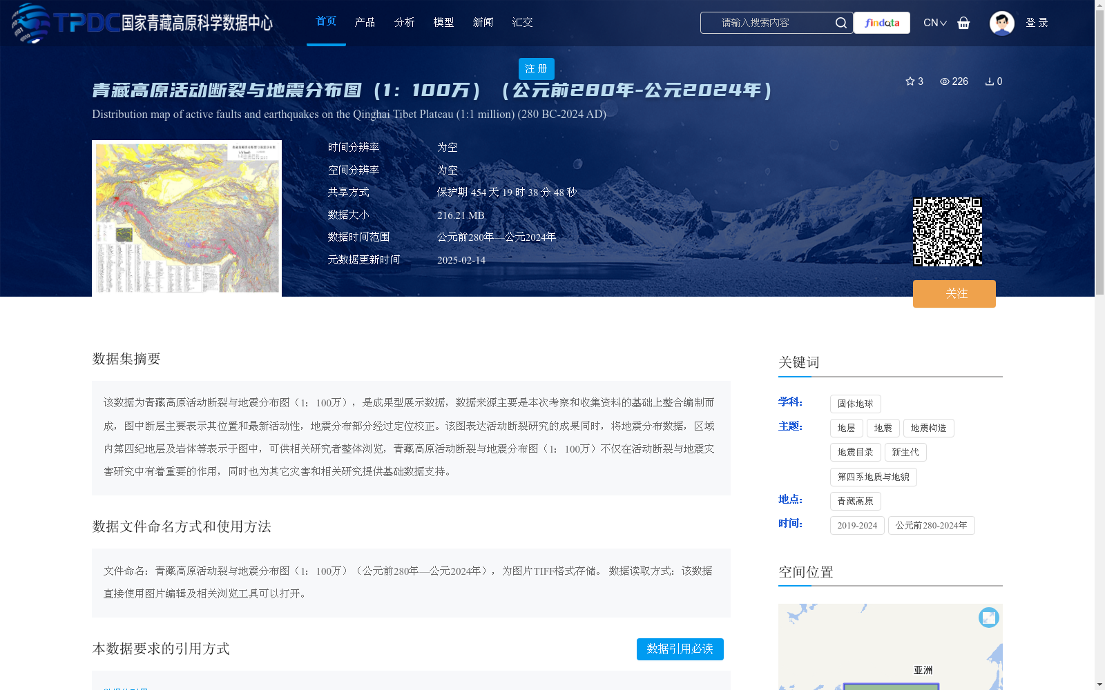
该数据为青藏高原活动断裂与地震分布图(1:100万),是成果型展示数据,数据来源主要是本次考察和收集资料的基础上整合编制而成,图中断层主要表示其位置和最新活动性,地震分布部分经过定位校正。该图表达活动断裂研究的成果同时,将地震分布数据,区域内第四纪地层及岩体等表示于图中,可供相关研究者整体浏览,青藏高原活动断裂与地震分布图(1:100万)不仅在活动断裂与地震灾害研究中有着重要的作用,同时也为其它灾害和相关研究提供基础数据支持。
This dataset is the 1:1,000,000-scale active faults and earthquake distribution map of the Qinghai-Tibet Plateau, a result-oriented display dataset. It was compiled by integrating data from this field investigation and collected materials. The faults on the map primarily indicate their locations and latest activities, and the earthquake distribution part has been corrected for positioning. While showcasing the research achievements of active faults, this map also displays earthquake distribution data, Quaternary strata and rock masses within the region, enabling relevant researchers to conduct overall browsing. This 1:1,000,000-scale active faults and earthquake distribution map of the Qinghai-Tibet Plateau not only plays an important role in the research of active faults and earthquake disasters, but also provides basic data support for other disaster-related and relevant studies.
提供机构:
郑文俊,付碧宏,袁道阳,李海兵
创建时间:
2025-01-26
搜集汇总
数据集介绍
背景与挑战
背景概述
该数据集是青藏高原地区活动断裂与地震分布的成果型地图数据,比例尺为1:100万,时间覆盖公元前280年至公元2024年,整合了断层位置、活动性、校正后的地震分布以及第四纪地层和岩体信息。它以TIFF格式存储,大小为216.21 MB,主要用于支持活动断裂研究、地震灾害评估及相关基础研究,并提供数据引用和共享方式。
以上内容由遇见数据集搜集并总结生成


