
NOAA National Bathymetric Source Data
收藏aws亚马逊开源数据集2024-03-07 收录
下载链接:
https://registry.opendata.aws/noaa-bathymetry
下载链接
链接失效反馈官方服务:
资源简介:
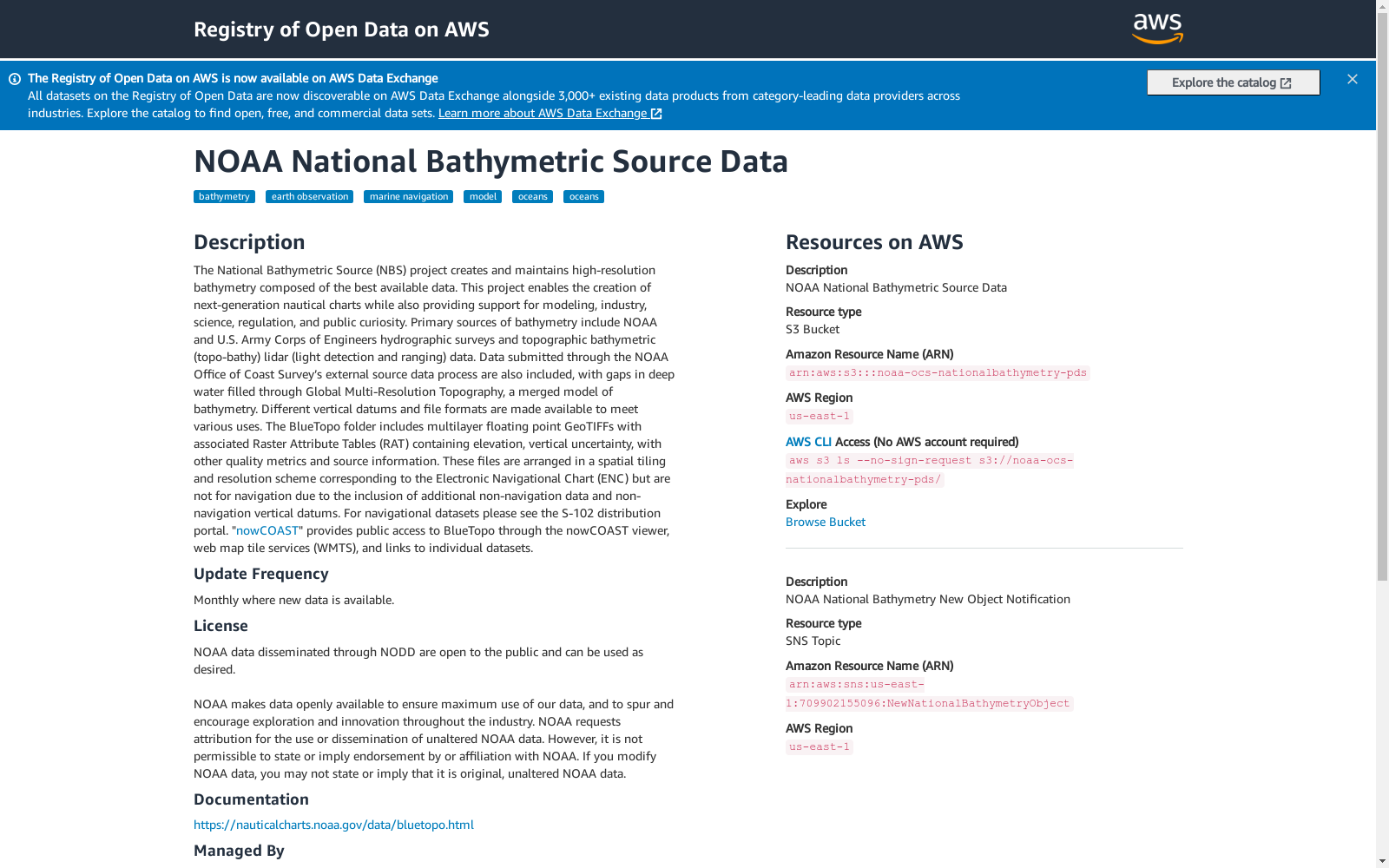
The National Bathymetric Source (NBS) project creates and maintains high-resolution bathymetry composed of the best available data. This project enables the creation of next-generation nautical charts while also providing support for modeling, industry, science, regulation, and public curiosity. Primary sources of bathymetry include NOAA and U.S. Army Corps of Engineers hydrographic surveys and topographic bathymetric (topo-bathy) lidar (light detection and ranging) data. Data submitted through the NOAA Office of Coast Survey’s external source data process are also included, with gaps...
国家水深数据源(National Bathymetric Source,NBS)项目构建并维护由最优可用数据整合而成的高分辨率水深测绘数据集。该项目既可支撑新一代航海海图的编制,也能为建模研究、工业应用、科学探索、监管合规以及公众的求知需求提供支持。水深测绘数据的主要来源包括美国国家海洋和大气管理局(NOAA)与美国陆军工程兵团的水文测量数据,以及地形测深(topo-bathy)激光雷达(light detection and ranging)数据。通过美国国家海洋和大气管理局海岸测量办公室外部源数据处理流程提交的相关数据也将被纳入该数据集,目前仍存在数据空缺……
提供机构:
NOAA
搜集汇总
数据集介绍
背景与挑战
背景概述
NOAA National Bathymetric Source Data是一个由美国国家海洋和大气管理局(NOAA)维护的高分辨率海洋测深数据集,用于支持海图制作、海洋建模、科学研究和公众查询。数据集整合了多种来源的测深数据,包括水文调查和激光雷达数据,并以多层GeoTIFF格式提供,每月更新。数据开放使用但要求署名,可通过AWS S3存储桶访问。
以上内容由遇见数据集搜集并总结生成



