横断山区1000m泥石流易损性评估图件(2024)
收藏国家青藏高原科学数据中心2025-04-15 更新2025-04-19 收录
下载链接:
https://data.tpdc.ac.cn/zh-hans/data/83cb882e-2342-475c-81fa-5c84d83b2659
下载链接
链接失效反馈官方服务:
资源简介:
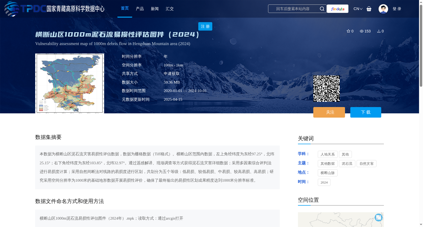
本数据为横断山区泥石流灾害易损性评估数据,数据为栅格数据(Tiff格式)。横断山区范围内数据,左上角经纬度为东经97.25°,北纬25.15°;右下角经纬度为东经103.85°,北纬32.97°。通过遥感解译、现场调查等方式获得泥石流灾害详细数据;采用多因素综合评判法进行易损度计算;采用自然间断法对线路的易损度进行区划,共划分为五个等级:低易损、较低易损、中易损、较高易损、高易损;研究采用空间分辨率为1000米的基础地形数据开展易损性评价,确保了最终输出的易损性区划成果精度达到1000米分辨率标准。
This dataset is the debris flow disaster vulnerability assessment data for the Hengduan Mountains region, stored as raster data in TIFF format. The spatial coverage of the dataset spans the entire Hengduan Mountains, with its top-left corner at 97.25°E, 25.15°N and bottom-right corner at 103.85°E, 32.97°N. Detailed debris flow disaster data was collected through remote sensing interpretation, field surveys and other means. The multi-factor comprehensive evaluation method was applied to calculate the vulnerability degree, and the natural breaks method was used to zone the vulnerability into five levels: low vulnerability, relatively low vulnerability, moderate vulnerability, relatively high vulnerability and high vulnerability. The study adopted basic topographic data with a spatial resolution of 1000 meters to carry out the vulnerability assessment, ensuring that the accuracy of the final output vulnerability zoning results meets the 1000-meter resolution standard.
提供机构:
陈兴长
创建时间:
2025-01-07
搜集汇总
数据集介绍
背景与挑战
背景概述
该数据集为横断山区泥石流灾害易损性评估数据,采用多因素综合评判法和自然间断法将易损度划分为五个等级,空间分辨率为1000米。数据通过遥感解译和现场调查获得,适用于泥石流灾害研究和风险评估。
以上内容由遇见数据集搜集并总结生成


