TerraDiT-data
收藏资源简介:
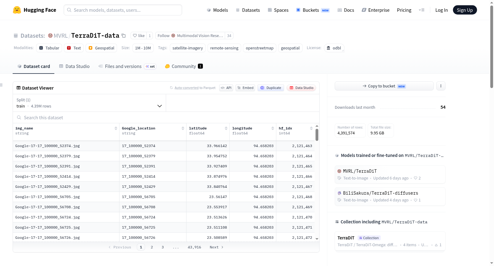
TerraDiT-data 是一个为 TerraDiT / TerraDiT-Ω 模型设计的衍生条件数据集,不包含原始卫星图像,图像需从 Git-10M 数据集获取。该数据集提供多种地理空间衍生数据,包括:元数据(约 2.0M 行,含图像名称、谷歌位置、经纬度及 Git-10M 索引)、三种测试分割(随机、空间、密集,分别包含 14,932、14,387 和 3,426 个图块)、OSM 标签词汇表(1,711 个标签)、实例几何数据(2.1 GB,包含几何类型、点坐标、边界框、顶点等)、点打包数据(1.2 GB,256x256 的 OSM 标签栅格)以及 RANGE+ 嵌入(约 5 GB 的 2.0M 个 1280 维向量和 0.9 GB 的 330k 个 1280 维向量)。数据规模在 1M 到 10M 之间,采用 Open Database License (ODbL) 1.0 许可。该数据集主要用于训练和评估地理空间条件的生成模型,如 TerraDiT。
TerraDiT-data is a derived conditional dataset designed for the TerraDiT / TerraDiT-Ω models. It does not contain original satellite images; images need to be obtained from the Git-10M dataset. This dataset provides various geospatial derived data, including: metadata (approximately 2.0M rows, containing image names, Google locations, latitude/longitude, and Git-10M indices), three test splits (random, spatial, and dense, containing 14,932, 14,387, and 3,426 tiles respectively), an OSM label vocabulary (1,711 labels), instance geometry data (2.1 GB, containing geometry types, point coordinates, bounding boxes, vertices, etc.), point-packed data (1.2 GB, 256x256 OSM label rasters), and RANGE+ embeddings (approximately 5 GB of 2.0M 1280-dimensional vectors and 0.9 GB of 330k 1280-dimensional vectors). The data scale ranges from 1M to 10M, and it is licensed under the Open Database License (ODbL) 1.0. This dataset is primarily used for training and evaluating geospatial conditioned generative models, such as TerraDiT.