长江经济带卫星遥感影像数据集(2020年)
收藏国家地球系统科学数据中心2023-12-27 更新2024-04-21 收录
下载链接:
https://www.geodata.cn/data/datadetails.html?dataguid=252392222137915&docId=4201
下载链接
链接失效反馈官方服务:
资源简介:
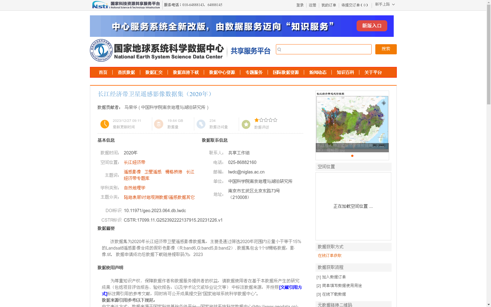
该数据集为2020年长江经济带卫星遥感影像数据集,主要是通过筛选2020年范围内云量小于等于15%的Landsat8遥感影像合成的假彩色影像(R:band6,G:band5,B:band2).
数据集包含1个tif栅格数据,影像.tif。
数据申请成功后数据下载链接提取码为:2023
This dataset is the 2020 Yangtze River Economic Belt satellite remote sensing image dataset. It is primarily produced by screening Landsat 8 remote sensing images acquired in 2020 with cloud cover ≤ 15%, and compositing them into false-color composite images with the band combination of R: Band 6, G: Band 5, B: Band 2. The dataset contains one TIFF raster data file: yingxiang.tif. Upon successful approval of the data application, the extraction code for the data download link is 2023.
提供机构:
中国科学院南京地理与湖泊研究所
创建时间:
2023-12-26
搜集汇总
数据集介绍
背景与挑战
背景概述
该数据集是2020年长江经济带区域的卫星遥感影像数据,通过筛选云量低于15%的Landsat8影像合成假彩色图像,数据格式为单个tif栅格文件,总量约19.64 GB。数据集采用WGS84坐标系,基于Google Earth Engine平台使用均值法合成,适用于自然地理学等科学研究,但使用时需遵循数据来源引用规范并限于非商业用途。
以上内容由遇见数据集搜集并总结生成


