全球大型湖泊水体颜色指数产品(2000-2021 年,500 米分辨率)(FUIGL500_2000-2021)
收藏地球大数据科学工程2024-03-04 收录
下载链接:
https://data.casearth.cn/sdo/detail/64148225819aec3f2b52b2d7
下载链接
链接失效反馈官方服务:
资源简介:
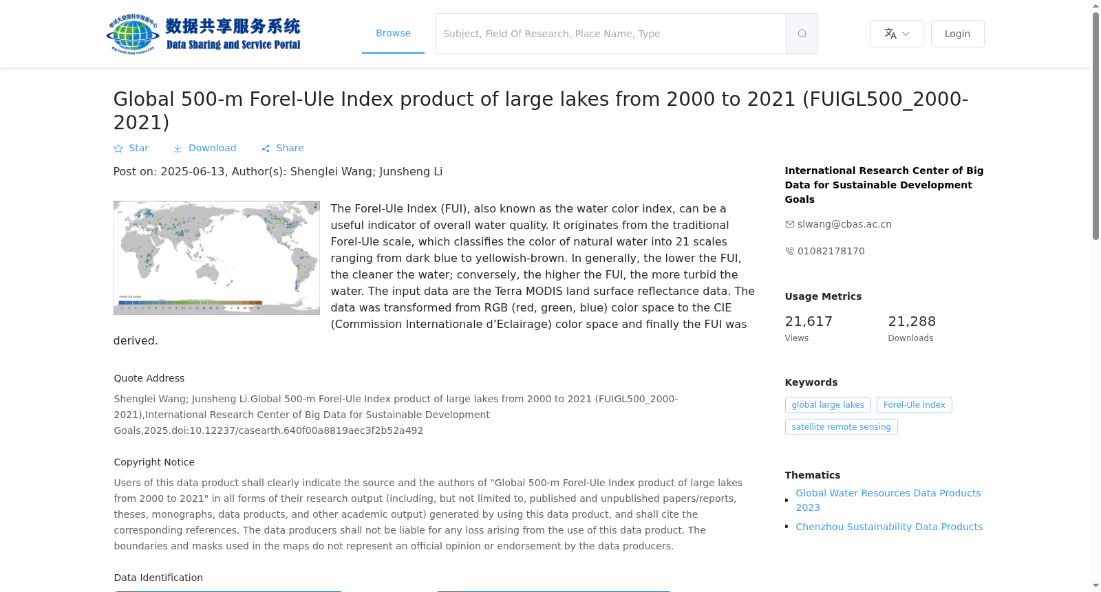
本数据产品定义的水体颜色指数(Forel-Ule Index, FUI)是一种划分自然水体颜色类别的指标,可以用来表征水质综合状况。它源于有100多年历史的Forel-Ule 比色表,将自然水体颜色从深蓝色到黄棕色划分为21 个级别,一般水体颜色指数越小表明水体越清洁,反之水体颜色指数越大表明水体越浑浊。本数据产品数据源为Terra MODIS地表反射率数据,经RGB(红、绿、蓝)颜色空间变换到CIE(Commission Internationale d’Eclairage)颜色空间并计算得到水体颜色指数FUI。
The Water Color Index (Forel-Ule Index, FUI) defined in this data product is an indicator for categorizing natural water body color classes, which can be used to characterize comprehensive water quality conditions. Derived from the century-old Forel-Ule colorimetric scale, it classifies natural water body colors from dark blue to yellowish brown into 21 levels. Generally, a smaller FUI value indicates cleaner water bodies, while a larger FUI value corresponds to more turbid water bodies. The data source of this product is Terra MODIS surface reflectance data, and the FUI is calculated by transforming the data from the RGB (Red, Green, Blue) color space to the CIE (Commission Internationale d’Eclairage) color space.
提供机构:
可持续发展大数据国际研究中心
搜集汇总
数据集介绍
背景与挑战
背景概述
该数据集提供了2000年至2021年全球149个大型湖泊的500米分辨率Forel-Ule指数(FUI)产品,用于评估水质。FUI指数范围从1到21,数值越低表示水质越清洁,数值越高表示水质越浑浊。数据采用GeoTiff格式,基于WGS84地理坐标系和经纬度投影。
以上内容由遇见数据集搜集并总结生成


