中国西部逐日1 km全天候地表温度数据集(TRIMS LST-TP;2000-2025)V2
收藏国家青藏高原科学数据中心2026-05-11 更新2024-03-01 收录
下载链接:
https://data.tpdc.ac.cn/zh-hans/data/d09ebfe3-a8c9-49b5-aa22-1fd484751d70
下载链接
链接失效反馈官方服务:
资源简介:
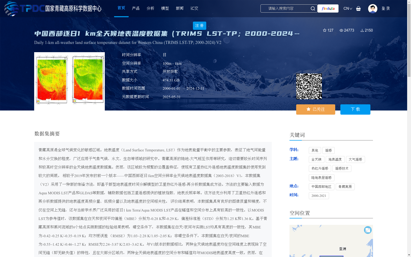
青藏高原是全球气候变化的敏感区域。地表温度(Land Surface Temperature, LST)作为地表能量平衡中的主要参数,表征了地气间能量和水分交换的程度,广泛应用于气象气候、水文、生态等领域的研究中。青藏高原的陆地-大气相互作用等研究,迫切需要较长时间序列和较高时空分辨率的全天候地表温度数据集。然而,该区域较为频繁的云覆盖特征,使现有卫星热红外遥感地表温度数据集的使用受到较大的局限。
相较于2019年发布的前一个版本——中国西部逐日1km空间分辨率全天候地表温度数据集(2003-2018)V1,本数据集(V2)采用了一种新的制备方法,即基于新型地表温度时间分解模型的卫星热红外遥感-再分析数据集成方法。方法的主要输入数据为Aqua MODIS LST产品和GLDAS等数据,辅助数据包括卫星遥感提供的植被指数、地表反照率等。该方法充分利用了卫星热红外遥感和再分析数据提供的地表温度高频分量、低频分量以及地表温度的空间相关性。
评价结果表明,本数据集具有良好的图像质量和精度,不仅在空间上无缝,还与当前学术界广泛采用的逐日1 km Terra/Aqua MODIS LST产品在幅值和空间分布上具有较高的一致性。以MODIS LST为参考值时,该数据集在白天和夜间平均偏差(MBE)分别为-0.28 K和-0.29 K,偏差标准差(STD)分别为1.25 K和1.36 K。基于青藏高原和黑河流域的6个站点实测数据的检验结果表明,晴空条件下,本数据集在白天/夜间与实测LST均具有高度的一致性,其MBE为-0.42~0.25 K/-0.35~0.19 K;均方根误差 (RMSE)为1.03~2.28 K/1.05~2.05 K;非晴空条件下,本数据集在白天/夜间的MBE为-0.55~1.42 K/-0.46~1.27 K;RMSE为2.24~3.87 K/2.03~3.62 K。与V1版本的数据相比,两种全天候地表温度均在空间维度上表现除了空间无缝(即无缺失值)的特性,且在大部分区域内,两种全天候地表温度的空间分布和幅值均与MODIS地表温度高度一致。然而,在AMSR-E/AMSR2轨道间隙亮温缺失的区域内,V1版本的地表温度产生了低估。TRIMS地表温度与V1版本地表温度在AMSR-E/AMSR2轨道间隙外的质量接近,而在轨道间隙内前者的质量更加可靠。因此,建议用户使用V2版本。
本数据集的时间分辨率为逐日4次,空间分辨率为1km,时间跨度为2000年-2025年(注:通过外推方式将缺少Aqua MODIS LST产品时段内的全天候地表温度补齐)。本数据集的空间范围包括青藏高原为核心的我国西部及周边地区(72°E-104°E,20°N-45°N)。因此,本数据集的缩写名为TRIMS LST-TP(Thermal and Reanalysis Integrating Moderate-resolution Spatial-seamless LST – Tibetan Plateau),以便用户使用。
The Tibetan Plateau (TP) is a sensitive region to global climate change. As a key parameter in surface energy balance, Land Surface Temperature (LST) characterizes the intensity of energy and water exchange between the land surface and the atmosphere, and is widely used in research fields such as meteorology, climatology, hydrology and ecology. Studies on land-atmosphere interactions over the TP urgently demand all-sky LST datasets with long time series and high spatio-temporal resolution. However, frequent cloud cover in this region greatly limits the application of existing satellite thermal infrared remote sensing-based LST datasets.
Compared to its previous version V1 released in 2019—the Daily 1 km Spatial Resolution All-sky LST Dataset for Western China (2003–2018), this dataset (V2) adopts a novel production method: an integrated approach of satellite thermal infrared remote sensing and reanalysis data based on a new LST temporal decomposition model. The main input data of the method include Aqua MODIS LST product and GLDAS data, while the auxiliary data cover vegetation indices, surface albedo and other products derived from satellite remote sensing. This method makes full use of the high-frequency and low-frequency components of LST, as well as the spatial correlation of LST provided by satellite thermal infrared remote sensing and reanalysis data.
Evaluation results demonstrate that this dataset has excellent image quality and accuracy. It is not only spatially seamless, but also highly consistent with the widely used daily 1 km Terra/Aqua MODIS LST products in the academic community in terms of magnitude and spatial distribution. Taking MODIS LST as the reference, the Mean Bias Errors (MBE) of this dataset during daytime and nighttime are -0.28 K and -0.29 K, respectively, and the Standard Deviations of Bias (STD) are 1.25 K and 1.36 K, respectively. Validation based on in-situ measured data from 6 stations over the TP and Heihe River Basin shows that under clear-sky conditions, this dataset has high consistency with the measured LST during daytime/nighttime, with MBE ranging from -0.42 K to 0.25 K / -0.35 K to 0.19 K, and Root Mean Square Errors (RMSE) ranging from 1.03 K to 2.28 K / 1.05 K to 2.05 K. Under non-clear sky conditions, the MBE of this dataset during daytime/nighttime ranges from -0.55 K to 1.42 K / -0.46 K to 1.27 K, and the RMSE ranges from 2.24 K to 3.87 K / 2.03 K to 3.62 K. Compared with the V1 version, both all-sky LST datasets exhibit spatially seamless (i.e., no missing values) characteristics, and in most regions, their spatial distributions and magnitudes are highly consistent with MODIS LST. However, the V1 version's LST products show underestimation in areas with missing brightness temperature in the AMSR-E/AMSR2 orbit gaps. The TRIMS LST products have similar quality to the V1 version outside the AMSR-E/AMSR2 orbit gaps, while the former has more reliable quality within the orbit gaps. Therefore, users are recommended to use the V2 version.
The temporal resolution of this dataset is 4 times per day, with a spatial resolution of 1 km, and its temporal span covers 2000 to 2024 (Note: The all-sky LST data during periods lacking Aqua MODIS LST products are supplemented via extrapolation). The spatial extent of this dataset includes western China and its surrounding regions centered on the Tibetan Plateau (72°E–104°E, 20°N–45°N). Thus, this dataset is abbreviated as TRIMS LST-TP (Thermal and Reanalysis Integrating Moderate-resolution Spatial-seamless LST – Tibetan Plateau) for user convenience.
提供机构:
周纪,张晓东,唐文彬,丁利荣,马晋,张旭
创建时间:
2019-12-21
搜集汇总
数据集介绍
背景与挑战
背景概述
该数据集是中国西部地区2000年至2024年的逐日1公里全天候地表温度数据,采用新型卫星热红外遥感-再分析数据集成方法制备,有效克服了云覆盖导致的缺失问题,实现了空间无缝覆盖。数据集精度高,与MODIS LST产品一致性良好,适用于气象气候、水文和生态等领域的研究,尤其针对青藏高原等敏感区域。
以上内容由遇见数据集搜集并总结生成


