
黑河下游(额济纳旗)地下水位数据集
收藏官方服务:
资源简介:
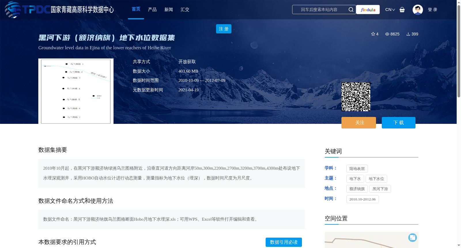
2010年10月起,在黑河下游额济纳绿洲乌兰图格附近,沿垂直河道方向距离河岸50m,300m,2200m,2700m,3200m,3700m,4300m处布设地下水埋深观测井,采用HOBO自动水位计进行动态测量,测量指标为地下水位(埋深),数据时间尺度为月尺度。
From October 2010 onwards, groundwater depth observation wells were installed at locations 50 m, 300 m, 2200 m, 2700 m, 3200 m, 3700 m, and 4300 m away from the riverbank along the direction perpendicular to the river channel near Wulantuge, Ejina Oasis, in the lower reaches of the Heihe River. Dynamic monitoring was conducted using HOBO automatic water level gauges, with the measured indicator being groundwater level (buried depth). The temporal scale of this dataset is monthly.
提供机构:
陈亚宁创建时间:
2013-08-08
搜集汇总
数据集介绍
背景与挑战
背景概述
该数据集包含2010年10月至2012年7月期间,在黑河下游额济纳绿洲沿垂直河道方向布设的观测井测量的月尺度地下水位(埋深)数据,数据量403.60 MB,以开放获取方式共享,适用于水文和生态研究。
以上内容由遇见数据集搜集并总结生成


