青藏高原阿尔金断裂阿克塞-肃北段10m哨兵二号影像数据(2020-2021)
收藏国家青藏高原科学数据中心2025-04-03 更新2025-04-12 收录
下载链接:
https://data.tpdc.ac.cn/zh-hans/data/321d59db-57b0-4768-82e1-98b6d721d555
下载链接
链接失效反馈官方服务:
资源简介:
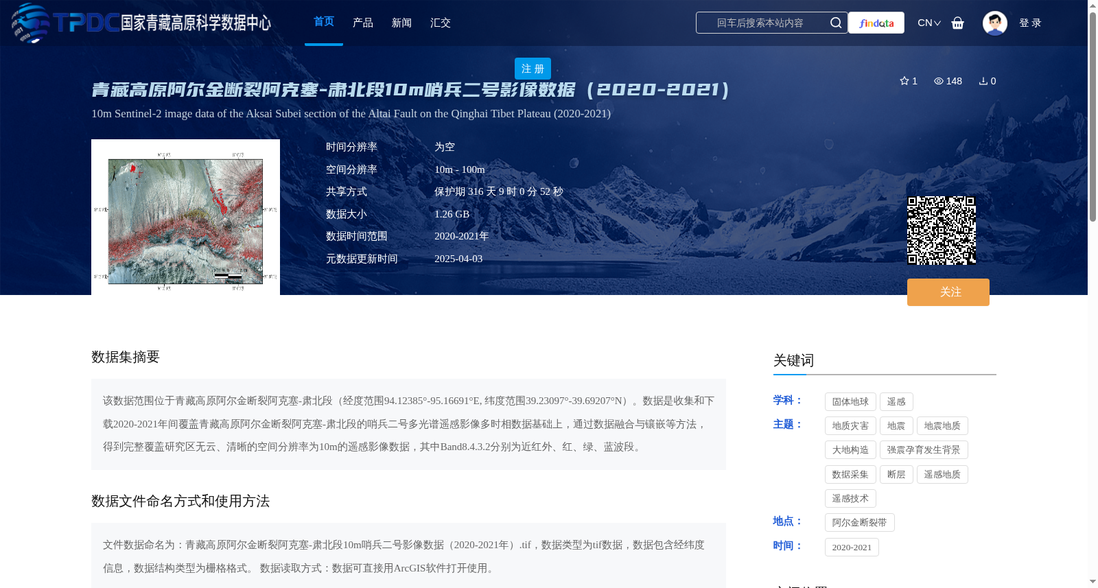
该数据范围位于青藏高原阿尔金断裂阿克塞-肃北段(经度范围94.12385°-95.16691°E, 纬度范围39.23097°-39.69207°N)。数据是收集和下载2020-2021年间覆盖青藏高原阿尔金断裂阿克塞-肃北段的哨兵二号多光谱遥感影像多时相数据基础上,通过数据融合与镶嵌等方法,得到完整覆盖研究区无云、清晰的空间分辨率为10m的遥感影像数据,其中Band8.4.3.2分别为近红外、红、绿、蓝波段。
This dataset covers the Aksay-Subei segment of the Altyn Tagh Fault on the Qinghai-Tibet Plateau, with a spatial scope ranging from 94.12385°E to 95.16691°E in longitude and 39.23097°N to 39.69207°N in latitude. It was generated using multi-temporal Sentinel-2 multispectral remote sensing images of the study area collected and downloaded between 2020 and 2021. After processing via data fusion, mosaicking and other techniques, cloud-free, sharp remote sensing image data with a spatial resolution of 10 m fully covering the research region were obtained. Among them, Bands 8, 4, 3, 2 correspond to the near-infrared, red, green and blue bands respectively.
提供机构:
付碧宏
创建时间:
2025-01-03
搜集汇总
数据集介绍
背景与挑战
背景概述
该数据集是2020-2021年青藏高原阿尔金断裂阿克塞-肃北段的哨兵二号多光谱遥感影像,空间分辨率为10米,经过融合与镶嵌处理形成无云、清晰的TIFF格式栅格数据,包含近红外、红、绿、蓝波段,适用于地质灾害和地震地质等研究。
以上内容由遇见数据集搜集并总结生成


