土地利用总体规划实施评估服务
收藏郑州数据交易中心2023-10-31 更新2024-10-10 收录
下载链接:
https://market.zzbdex.com/trade/service/1719185494588952578
下载链接
链接失效反馈官方服务:
资源简介:
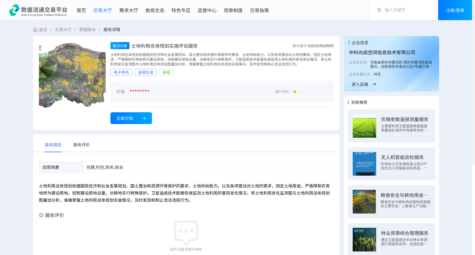
土地利用总体规划依据国民经济和社会发展规划、国土整治和资源环境保护的要求、土地供给能力,以及各项建设对土地的需求,规定土地用途,严格限制农用地转为建设用地,控制建设用地总量,对耕地实行特殊保护。卫星遥感技术能够快速监测土地利用的客观变化情况,将土地利用变化监测图与土地利用总体规划图叠加分析,准确掌握土地利用总体规划实施情况,及时发现和制止违法违规行为。
General Land Use Planning stipulates land use types based on national economic and social development plans, the requirements of land consolidation and resource and environmental protection, land supply capacity, and land demand from various construction activities. It strictly restricts the conversion of agricultural land to construction land, controls the total amount of construction land, and provides special protection for cultivated land. Satellite remote sensing technology can rapidly monitor objective changes in land use. By overlaying and analyzing land use change monitoring maps and general land use planning maps, the implementation status of the general land use plan can be accurately grasped, and illegal and irregular acts can be detected and stopped in a timely manner.
提供机构:
中科光启空间信息技术有限公司
创建时间:
2023-10-31
搜集汇总
数据集介绍
背景与挑战
背景概述
该数据集通过卫星遥感技术监测土地利用变化,结合土地利用总体规划图进行叠加分析,评估规划实施效果,重点管控农用地转用和建设用地总量,强化耕地保护。
以上内容由遇见数据集搜集并总结生成


