长江流域流域边界数据集
收藏资源简介:
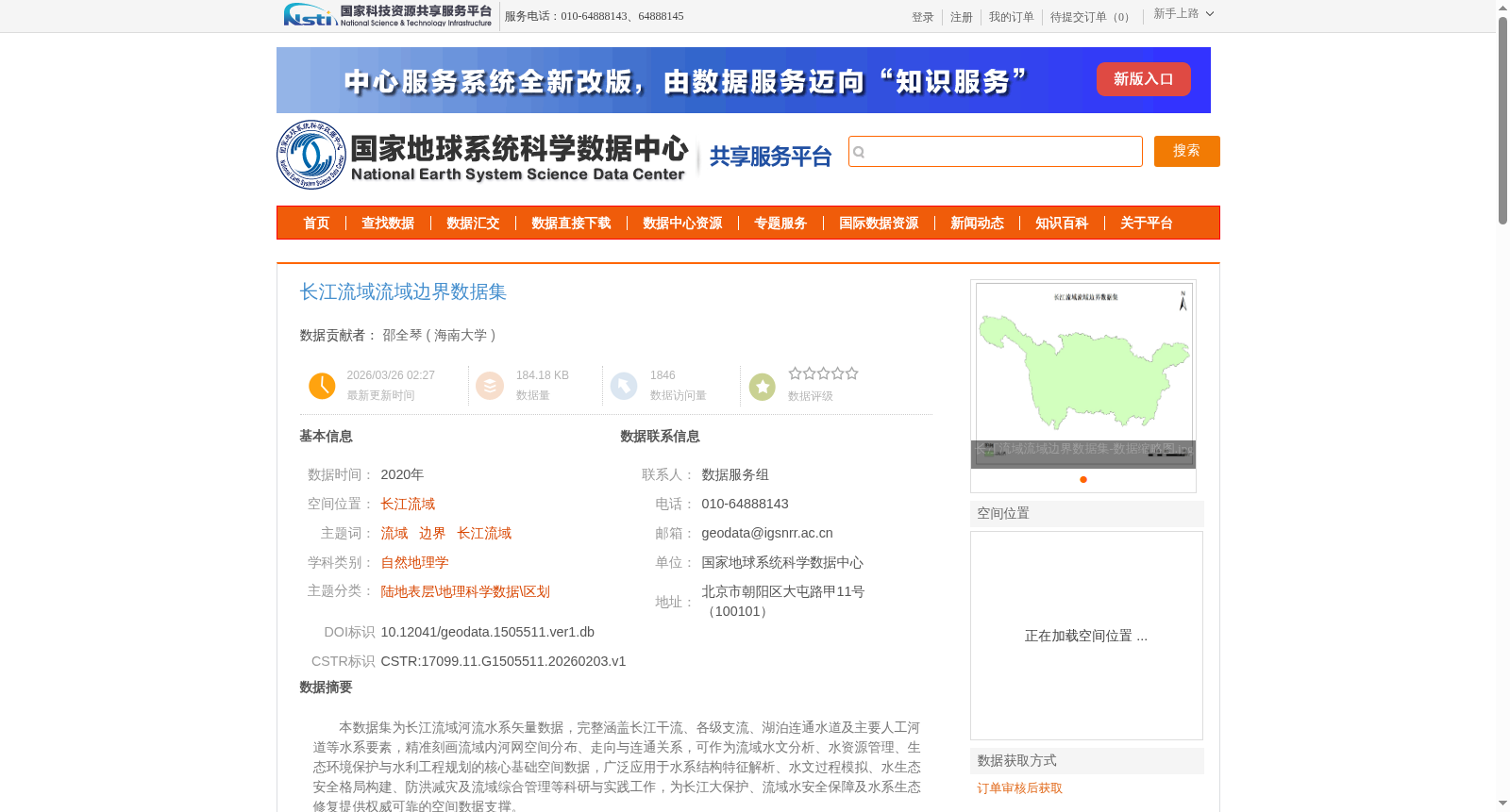
本数据集为长江流域河流水系矢量数据,完整涵盖长江干流、各级支流、湖泊连通水道及主要人工河道等水系要素,精准刻画流域内河网空间分布、走向与连通关系,可作为流域水文分析、水资源管理、生态环境保护与水利工程规划的核心基础空间数据,广泛应用于水系结构特征解析、水文过程模拟、水生态安全格局构建、防洪减灾及流域综合管理等科研与实践工作,为长江大保护、流域水安全保障及水系生态修复提供权威可靠的空间数据支撑。
This dataset is a vector dataset of river systems in the Yangtze River Basin. It comprehensively covers all river system elements including the main stream of the Yangtze River, tributaries at all levels, lake-connected waterways and major artificial watercourses, and accurately depicts the spatial distribution, flow direction and connectivity of the river network within the basin. As core foundational spatial data, it can be used for basin hydrological analysis, water resource management, ecological environment protection and water conservancy project planning. It has been widely applied in scientific research and practical work such as the analysis of river system structural characteristics, hydrological process simulation, aquatic ecological security pattern construction, flood prevention and disaster reduction, and comprehensive basin management, providing authoritative and reliable spatial data support for the Yangtze River Great Protection, basin water security guarantee and aquatic ecosystem restoration.