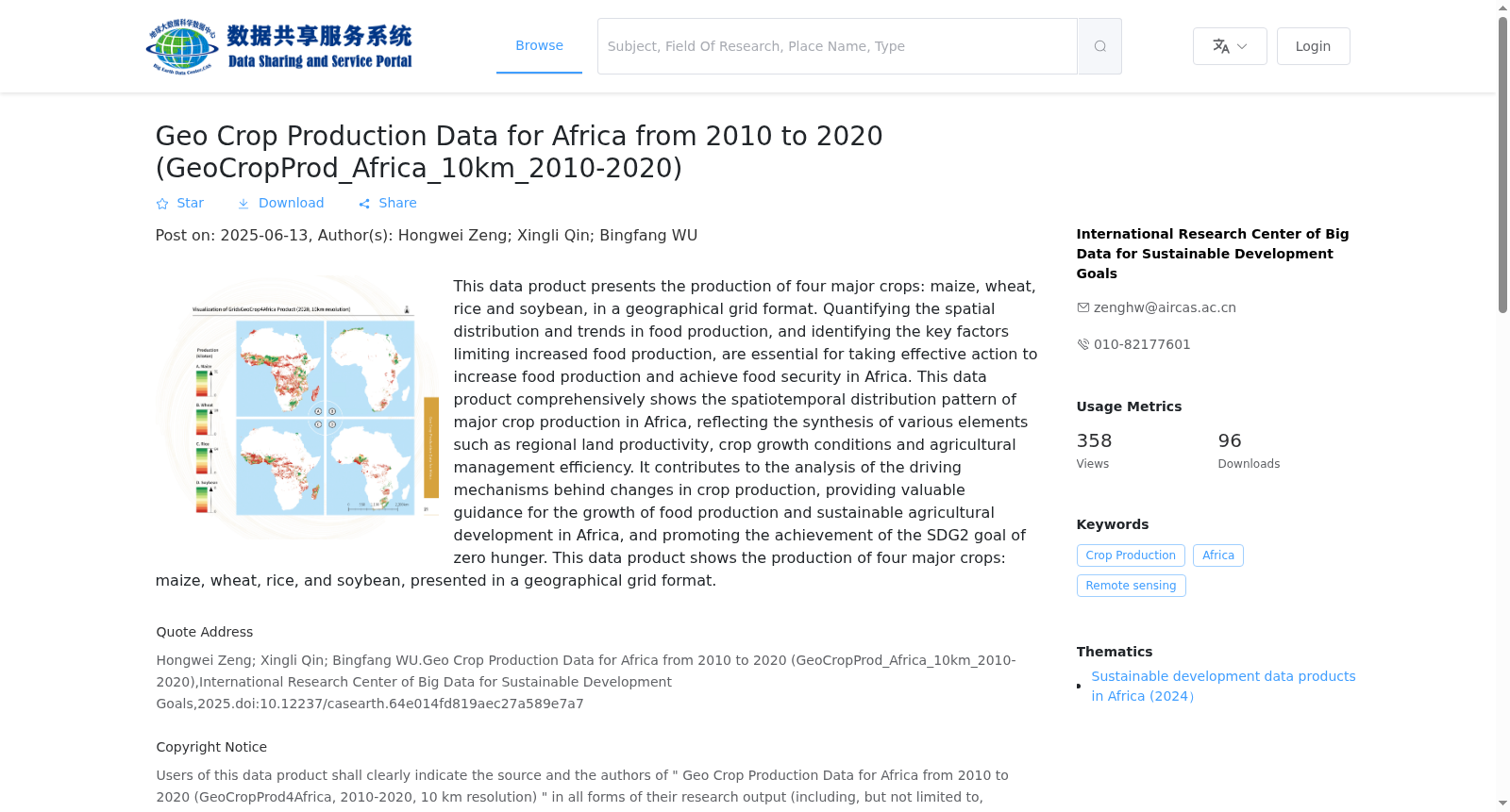
非洲地理空间格网化粮食产量数据产品 (2010-2020 年,10 公里分辨率 )
收藏资源简介:
本数据产品的粮食产量是指玉米、小麦、水稻、大豆等 4 种大宗粮油作物的产量,以地理空间格网的方式呈现。量化粮食产量的空间分布与变化趋势,厘定限制粮食产量增产的关键因子,是采取有效的措施提升粮食产量、实现非洲粮食安全的基本要求。本数据产品全面揭示了非洲大宗粮油作物产量的时空分布模式,是各地区土地生产力、作物生长状况和农业管理效率等要素的综合体现,有助于分析作物产量变化的驱动机制,为非洲粮食的增长和可持续农业的发展提供有益参考,推动 SDG2“零饥饿”目标的实现。 数据产品的粮食产量包括玉米、小麦、水稻、大豆等4种大宗粮油作物的产量,以地理空间格网的方式呈现。
The grain yield in this data product refers to the yields of four major staple grain and oil crops, including maize, wheat, rice and soybean, and is presented in the form of geospatial grids. Quantifying the spatial distribution and temporal trends of grain yields, as well as identifying the key factors limiting yield growth, are the fundamental prerequisites for implementing effective measures to increase grain production and achieve food security in Africa. This data product fully reveals the spatiotemporal distribution patterns of staple grain and oil crop yields across Africa, serving as a comprehensive reflection of regional land productivity, crop growth conditions, agricultural management efficiency and other related factors. It facilitates the analysis of the driving mechanisms behind crop yield changes, provides valuable references for promoting grain production growth and sustainable agricultural development in Africa, and contributes to the achievement of SDG Target 2 "Zero Hunger". The grain yield data of this product covers the yields of four major staple grain and oil crops including maize, wheat, rice and soybean, and is presented in the form of geospatial grids.