全国0.8m卫星影像一张图
收藏上海数据交易所2025-01-08 更新2026-03-21 收录
下载链接:
https://nidts.chinadep.com/reg-hall/product-detail?id=5647
下载链接
链接失效反馈官方服务:
资源简介:
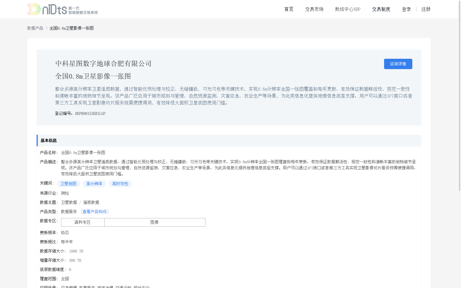
整合多源高分辨率卫星遥感数据,通过智能化预处理与校正、无缝镶嵌、匀光匀色等关键技术,实现0.8m分辨率全国一张图覆盖和每年更新,有效保证数据鲜活性、视觉一致性和清晰丰富的地物细节呈现。该产品广泛应用于城市规划与管理、自然资源监测、灾害应急、农业生产等场景,为此类信息化提供地理信息底座支撑。用户可以通过API接口或者第三方工具实现卫星影像切片服务按需便捷调用,有效降低大面积卫星底图使用门槛。
This dataset integrates multi-source high-resolution satellite remote sensing data. Leveraging core technologies such as intelligent preprocessing and correction, seamless mosaic, and light and color homogenization, it achieves national single-map coverage with a 0.8-meter resolution and annual updates, effectively ensuring data timeliness, visual consistency, and clear and abundant feature details.
This dataset is widely applied in scenarios including urban planning and management, natural resource monitoring, disaster emergency response, and agricultural production, providing geospatial infrastructure support for such informatization initiatives.
Users can conveniently invoke satellite image tile services on demand via API interfaces or third-party tools, effectively lowering the threshold for using large-area satellite base maps.
提供机构:
中科星图数字地球合肥有限公司
创建时间:
2025-01-08
搜集汇总
数据集介绍
背景与挑战
背景概述
该数据集是一个全国覆盖的0.8米高分辨率卫星影像产品,通过智能化处理技术实现无缝镶嵌和每年更新,确保数据鲜活性与视觉一致性。它广泛应用于城市规划、自然资源监测和灾害应急等多个场景,并支持API接口调用,有效降低大面积卫星底图的使用门槛。
以上内容由遇见数据集搜集并总结生成


